Benavides Nw Topo Map Texas
To zoom in, hover over the map of Benavides Nw
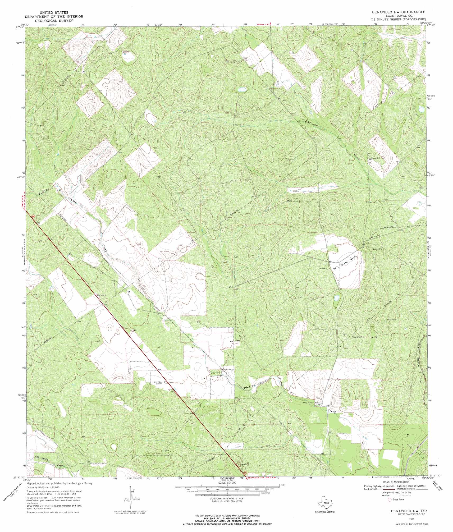
USGS Topo Quad 27098f4 - 1:24,000 scale
| Topo Map Name: | Benavides Nw |
| USGS Topo Quad ID: | 27098f4 |
| Print Size: | ca. 21 1/4" wide x 27" high |
| Southeast Coordinates: | 27.625° N latitude / 98.375° W longitude |
| Map Center Coordinates: | 27.6875° N latitude / 98.4375° W longitude |
| U.S. State: | TX |
| Filename: | o27098f4.jpg |
| Download Map JPG Image: | Benavides Nw topo map 1:24,000 scale |
| Map Type: | Topographic |
| Topo Series: | 7.5´ |
| Map Scale: | 1:24,000 |
| Source of Map Images: | United States Geological Survey (USGS) |
| Alternate Map Versions: |
Benavides NW TX 1968, updated 1971 Download PDF Buy paper map Benavides NW TX 2010 Download PDF Buy paper map Benavides NW TX 2013 Download PDF Buy paper map Benavides NW TX 2016 Download PDF Buy paper map |
1:24,000 Topo Quads surrounding Benavides Nw
Freer Nw |
Freer North |
Rosita Nw |
Rosita Ne |
Shaeffer Ranch |
Sarnosa Hill |
Freer South |
Rosita |
Rosita Se |
San Diego |
Parrilla Creek Nw |
Parrilla Creek Ne |
Benavides Nw |
Benavides Ne |
Ben Bolt Nw |
Parrilla Creek Sw |
Parrilla Creek Se |
Benavides |
San Jose |
Palito Blanco |
Hebbronville Nw |
Realitos |
Concepcion Nw |
Concepcion |
Seeligson Ranch |
> Back to 27098e1 at 1:100,000 scale
> Back to 27098a1 at 1:250,000 scale
> Back to U.S. Topo Maps home
No gazetteer data is available for the Benavides Nw topo map sheet.
Benavides Nw digital topo map on disk
Buy this Benavides Nw topo map showing relief, roads, GPS coordinates and other geographical features, as a high-resolution digital map file on DVD: