Biel Lake Se Topo Map Texas
To zoom in, hover over the map of Biel Lake Se
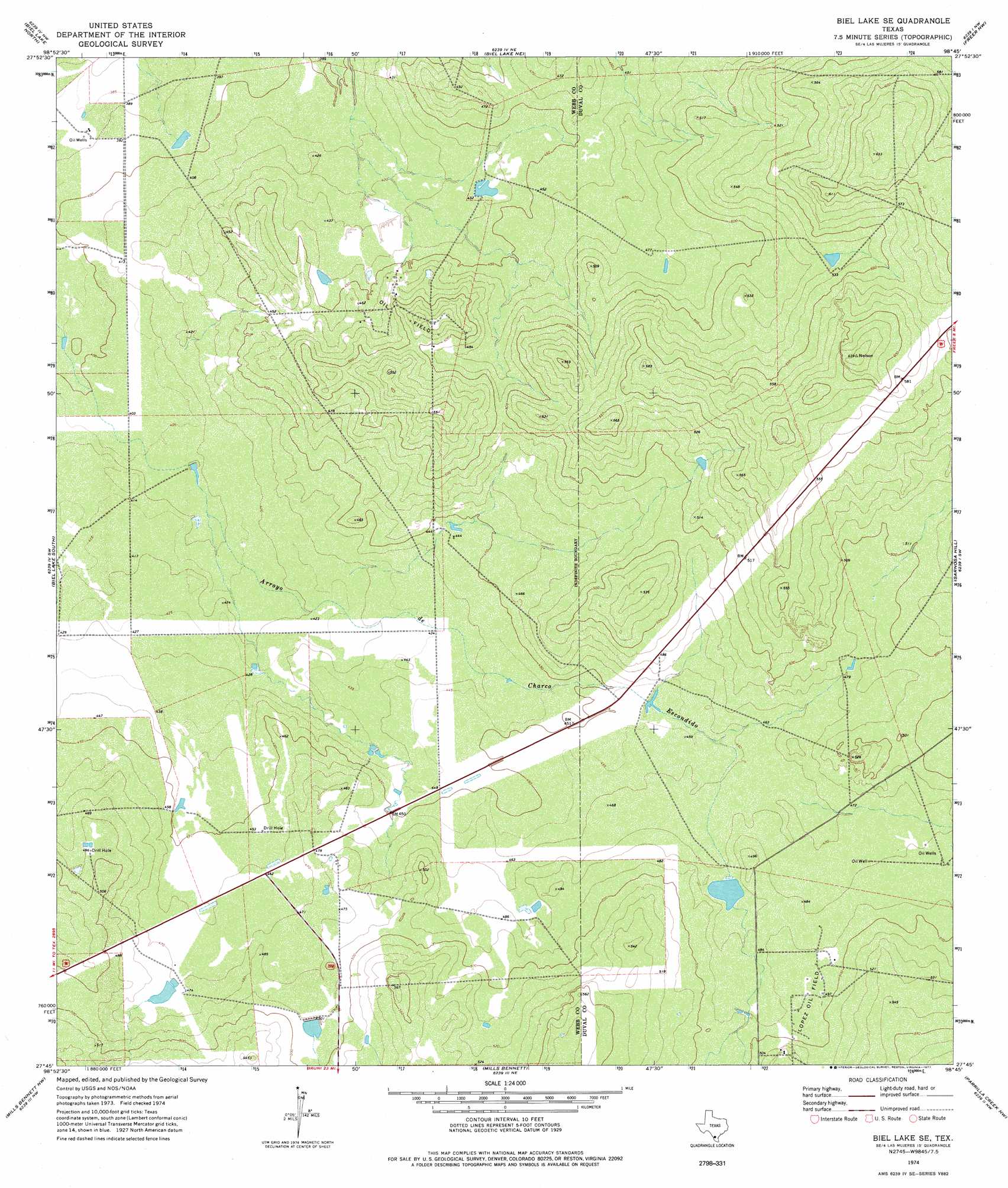
USGS Topo Quad 27098g7 - 1:24,000 scale
| Topo Map Name: | Biel Lake Se |
| USGS Topo Quad ID: | 27098g7 |
| Print Size: | ca. 21 1/4" wide x 27" high |
| Southeast Coordinates: | 27.75° N latitude / 98.75° W longitude |
| Map Center Coordinates: | 27.8125° N latitude / 98.8125° W longitude |
| U.S. State: | TX |
| Filename: | o27098g7.jpg |
| Download Map JPG Image: | Biel Lake Se topo map 1:24,000 scale |
| Map Type: | Topographic |
| Topo Series: | 7.5´ |
| Map Scale: | 1:24,000 |
| Source of Map Images: | United States Geological Survey (USGS) |
| Alternate Map Versions: |
Biel Lake SE TX 1974, updated 1977 Download PDF Buy paper map Biel Lake SE TX 2010 Download PDF Buy paper map Biel Lake SE TX 2013 Download PDF Buy paper map Biel Lake SE TX 2016 Download PDF Buy paper map |
1:24,000 Topo Quads surrounding Biel Lake Se
Caiman Creek Se |
Piedra Creek Sw |
Piedra Creek Se |
Mirasol Creek |
Loma Alta |
Alamito Creek Ne |
Biel Lake North |
Biel Lake Ne |
Freer Nw |
Freer North |
Alamito Creek |
Biel Lake South |
Biel Lake Se |
Sarnosa Hill |
Freer South |
Piedra Parada Ranch |
Mills Bennett Nw |
Mills Bennett |
Parrilla Creek Nw |
Parrilla Creek Ne |
Shipp Ranch |
Mills Bennett Sw |
San Pablo |
Parrilla Creek Sw |
Parrilla Creek Se |
> Back to 27098e1 at 1:100,000 scale
> Back to 27098a1 at 1:250,000 scale
> Back to U.S. Topo Maps home
No gazetteer data is available for the Biel Lake Se topo map sheet.
Biel Lake Se digital topo map on disk
Buy this Biel Lake Se topo map showing relief, roads, GPS coordinates and other geographical features, as a high-resolution digital map file on DVD: