Hall Summit Topo Map Louisiana
To zoom in, hover over the map of Hall Summit
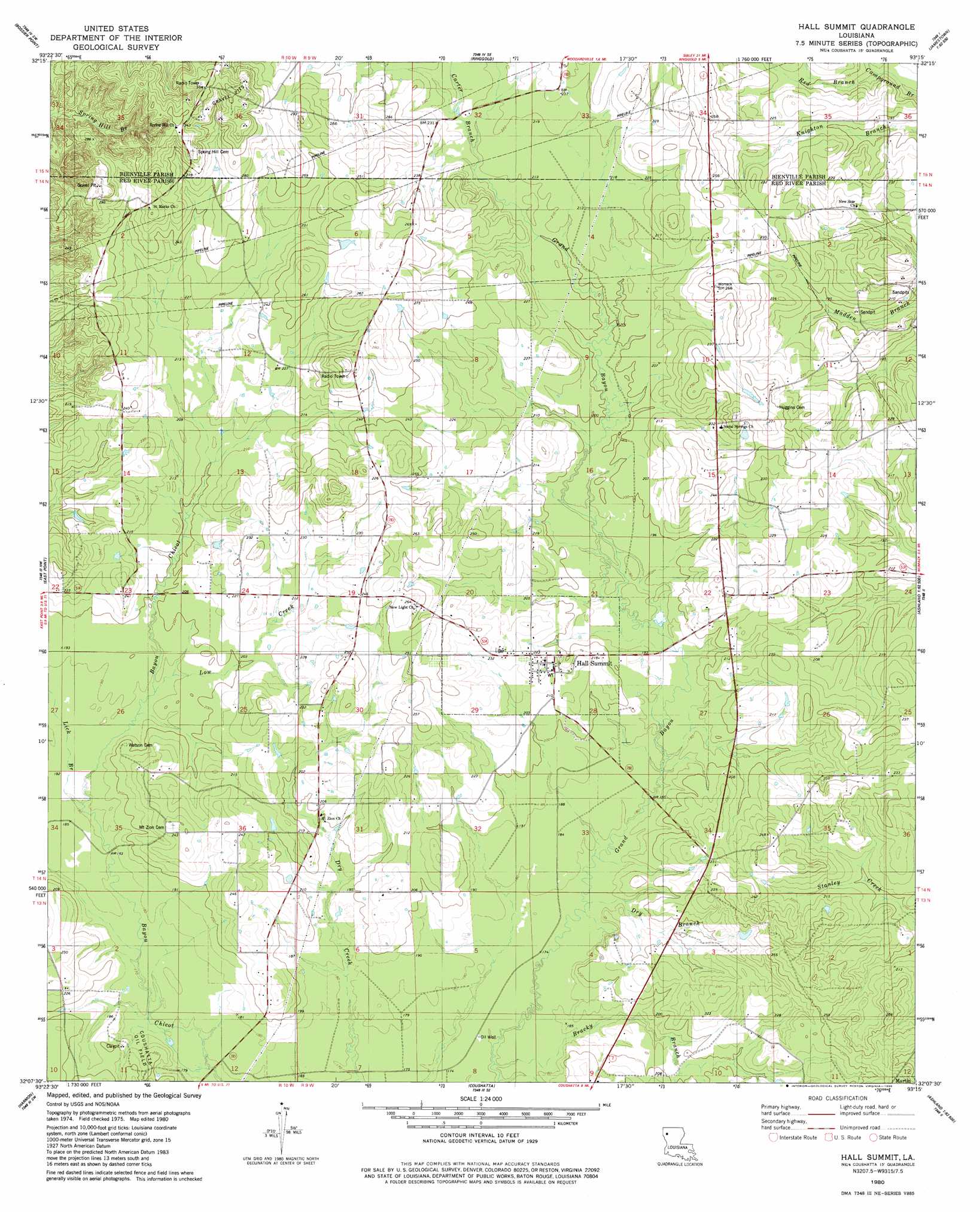
USGS Topo Quad 32093b3 - 1:24,000 scale
| Topo Map Name: | Hall Summit |
| USGS Topo Quad ID: | 32093b3 |
| Print Size: | ca. 21 1/4" wide x 27" high |
| Southeast Coordinates: | 32.125° N latitude / 93.25° W longitude |
| Map Center Coordinates: | 32.1875° N latitude / 93.3125° W longitude |
| U.S. State: | LA |
| Filename: | o32093b3.jpg |
| Download Map JPG Image: | Hall Summit topo map 1:24,000 scale |
| Map Type: | Topographic |
| Topo Series: | 7.5´ |
| Map Scale: | 1:24,000 |
| Source of Map Images: | United States Geological Survey (USGS) |
| Alternate Map Versions: |
Hall Summit LA 1980, updated 1980 Download PDF Buy paper map Hall Summit LA 2012 Download PDF Buy paper map Hall Summit LA 2015 Download PDF Buy paper map |
1:24,000 Topo Quads surrounding Hall Summit
Sligo |
Koran |
Heflin |
Fryeburg |
Sailes |
Elm Grove |
Bossier Point |
Ringgold |
Jamestown |
Sparta |
Clear Lake |
East Point |
Hall Summit |
Troy |
Ashland |
Bayou Pierre Lake |
Harmon |
Coushatta |
Martin |
Chestnut |
Pelican |
Evelyn |
Hanna |
Messick |
Campti |
> Back to 32093a1 at 1:100,000 scale
> Back to 32092a1 at 1:250,000 scale
> Back to U.S. Topo Maps home
Hall Summit topo map: Gazetteer
Hall Summit: Oilfields
Bracky Branch Oil and Gas Field elevation 55m 180′Hall Summit: Populated Places
Hall Summit elevation 67m 219′Maddens Spur (historical) elevation 61m 200′
Mount Zion elevation 62m 203′
Hall Summit: Streams
Bracky Branch elevation 51m 167′Carter Branch elevation 65m 213′
Dry Branch elevation 54m 177′
Lick Branch elevation 55m 180′
Low Creek elevation 57m 187′
Red Branch elevation 54m 177′
Hall Summit digital topo map on disk
Buy this Hall Summit topo map showing relief, roads, GPS coordinates and other geographical features, as a high-resolution digital map file on DVD: