Hackberry Lake Topo Map Texas
To zoom in, hover over the map of Hackberry Lake
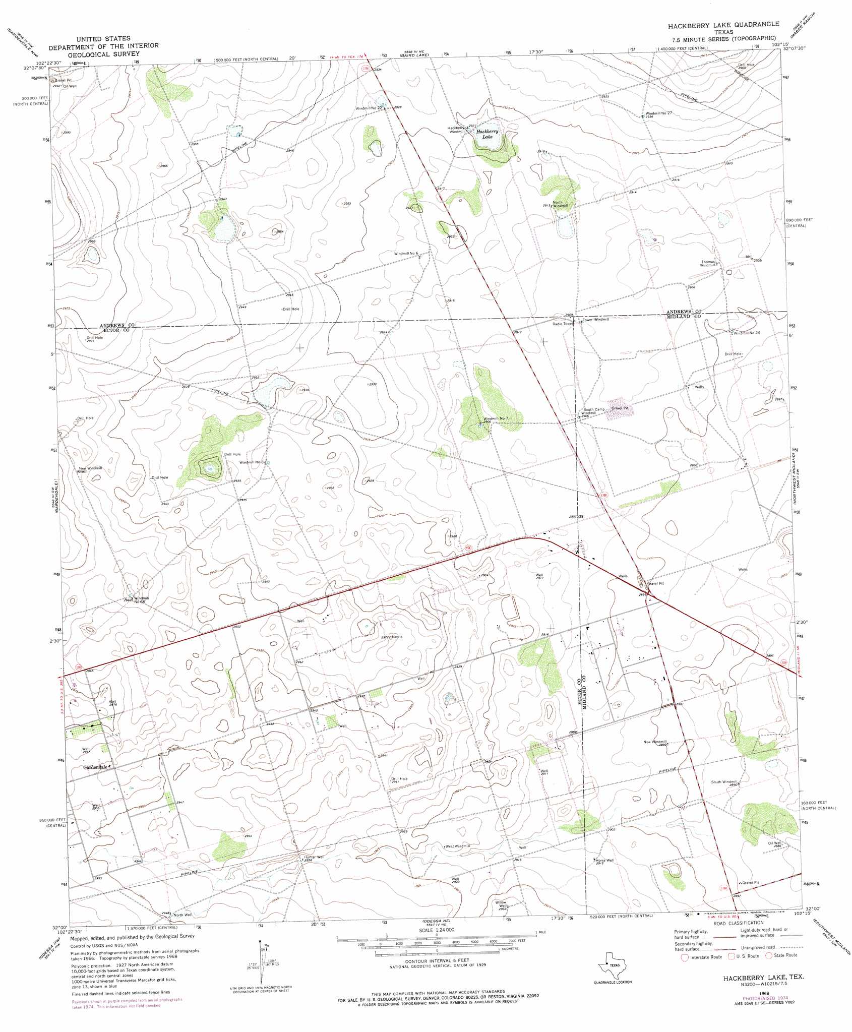
USGS Topo Quad 32102a3 - 1:24,000 scale
| Topo Map Name: | Hackberry Lake |
| USGS Topo Quad ID: | 32102a3 |
| Print Size: | ca. 21 1/4" wide x 27" high |
| Southeast Coordinates: | 32° N latitude / 102.25° W longitude |
| Map Center Coordinates: | 32.0625° N latitude / 102.3125° W longitude |
| U.S. State: | TX |
| Filename: | o32102a3.jpg |
| Download Map JPG Image: | Hackberry Lake topo map 1:24,000 scale |
| Map Type: | Topographic |
| Topo Series: | 7.5´ |
| Map Scale: | 1:24,000 |
| Source of Map Images: | United States Geological Survey (USGS) |
| Alternate Map Versions: |
Hackberry Lake TX 1968, updated 1970 Download PDF Buy paper map Hackberry Lake TX 1968, updated 1975 Download PDF Buy paper map Hackberry Lake TX 2010 Download PDF Buy paper map Hackberry Lake TX 2012 Download PDF Buy paper map Hackberry Lake TX 2016 Download PDF Buy paper map |
1:24,000 Topo Quads surrounding Hackberry Lake
Andrews |
Five Wells Ranch Sw |
Five Wells Ranch Se |
Bird Ranch |
Flynt Ranch |
Clabber Hill Ranch |
Gardendale Nw |
Baird Lake |
Mabee Ranch |
North Curtis Ranch |
North Cowden |
Gardendale |
Hackberry Lake |
Northwest Midland |
Northeast Midland |
Goldsmith |
Odessa Nw |
Odessa Ne |
Southwest Midland |
Southeast Midland |
Douro |
Odessa Sw |
Odessa Se |
Parks |
Bryant Ranch |
> Back to 32102a1 at 1:100,000 scale
> Back to 32102a1 at 1:250,000 scale
> Back to U.S. Topo Maps home
Hackberry Lake topo map: Gazetteer
Hackberry Lake: Lakes
Hackberry Lake elevation 889m 2916′Hackberry Lake: Wells
Horse Well elevation 888m 2913′Hunter Well elevation 893m 2929′
North Well elevation 899m 2949′
Willow Well elevation 894m 2933′
Hackberry Lake digital topo map on disk
Buy this Hackberry Lake topo map showing relief, roads, GPS coordinates and other geographical features, as a high-resolution digital map file on DVD: