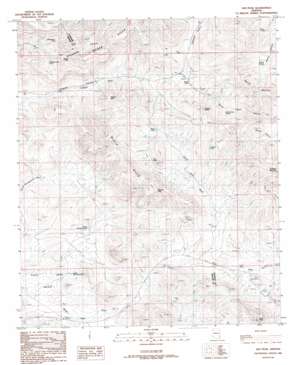
Ash Peak Topo Map Arizona
To zoom in, hover over the map of Ash Peak
USGS Topo Quad 32109g3 - 1:24,000 scale
| Topo Map Name: | Ash Peak |
| USGS Topo Quad ID: | 32109g3 |
| Print Size: | ca. 21 1/4" wide x 27" high |
| Southeast Coordinates: | 32.75° N latitude / 109.25° W longitude |
| Map Center Coordinates: | 32.8125° N latitude / 109.3125° W longitude |
| U.S. State: | AZ |
| Filename: | o32109g3.jpg |
| Download Map JPG Image: | Ash Peak topo map 1:24,000 scale |
| Map Type: | Topographic |
| Topo Series: | 7.5´ |
| Map Scale: | 1:24,000 |
| Source of Map Images: | United States Geological Survey (USGS) |
| Alternate Map Versions: |
Ash Peak AZ 1986, updated 1986 Download PDF Buy paper map Ash Peak AZ 2011 Download PDF Buy paper map Ash Peak AZ 2014 Download PDF Buy paper map |
1:24,000 Topo Quads surrounding Ash Peak
> Back to 32109e1 at 1:100,000 scale
> Back to 32108a1 at 1:250,000 scale
> Back to U.S. Topo Maps home
Ash Peak topo map: Gazetteer
Ash Peak: Basins
Slick Rock Basin elevation 1214m 3982′Ash Peak: Mines
Ash Peak Mine elevation 1335m 4379′Godfrey Mines elevation 1349m 4425′
Shamrock Shaft elevation 0m 0′
Ash Peak: Reservoirs
Coyote Tank elevation 1450m 4757′Divide Tanks elevation 1414m 4639′
Gillespie Cueto Tank elevation 1425m 4675′
Moody Tank elevation 1436m 4711′
North Slick Rock Tank elevation 1275m 4183′
Rocky Tank elevation 1312m 4304′
Shoat Tank elevation 0m 0′
South Slick Rock Tank elevation 1242m 4074′
Trap Tank elevation 1449m 4753′
Yellowstone Tank elevation 1402m 4599′
Ash Peak: Springs
Harris Camp Spring elevation 1378m 4520′Walnut Springs elevation 1340m 4396′
Ash Peak: Summits
Ash Peak elevation 1657m 5436′Black Hills elevation 1506m 4940′
Jackpot Mesa elevation 1572m 5157′
Rhyolite Peak elevation 1683m 5521′
Thumb Butte elevation 1565m 5134′
Walnut Mountain elevation 1564m 5131′
Ash Peak: Wells
Williams Well elevation 1362m 4468′Ash Peak digital topo map on disk
Buy this Ash Peak topo map showing relief, roads, GPS coordinates and other geographical features, as a high-resolution digital map file on DVD:


