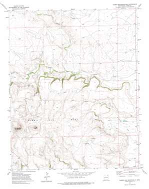
Rabbit Ear Mountain Topo Map New Mexico
To zoom in, hover over the map of Rabbit Ear Mountain
USGS Topo Quad 36103e2 - 1:24,000 scale
| Topo Map Name: | Rabbit Ear Mountain |
| USGS Topo Quad ID: | 36103e2 |
| Print Size: | ca. 21 1/4" wide x 27" high |
| Southeast Coordinates: | 36.5° N latitude / 103.125° W longitude |
| Map Center Coordinates: | 36.5625° N latitude / 103.1875° W longitude |
| U.S. State: | NM |
| Filename: | o36103e2.jpg |
| Download Map JPG Image: | Rabbit Ear Mountain topo map 1:24,000 scale |
| Map Type: | Topographic |
| Topo Series: | 7.5´ |
| Map Scale: | 1:24,000 |
| Source of Map Images: | United States Geological Survey (USGS) |
| Alternate Map Versions: |
Rabbit Ear Mountain NM 1972, updated 1975 Download PDF Buy paper map Rabbit Ear Mountain NM 1998, updated 2001 Download PDF Buy paper map Rabbit Ear Mountain NM 2011 Download PDF Buy paper map Rabbit Ear Mountain NM 2013 Download PDF Buy paper map Rabbit Ear Mountain NM 2017 Download PDF Buy paper map |
| FStopo: | US Forest Service topo Rabbit Ear Mountain is available: Download FStopo PDF Download FStopo TIF |
1:24,000 Topo Quads surrounding Rabbit Ear Mountain
> Back to 36103e1 at 1:100,000 scale
> Back to 36102a1 at 1:250,000 scale
> Back to U.S. Topo Maps home
Rabbit Ear Mountain topo map: Gazetteer
Rabbit Ear Mountain: Parks
Black Jack Ketchum Historical Marker elevation 1844m 6049′Rabbit Ear Mountains Historical Marker elevation 1844m 6049′
Rabbit Ear Mountain: Post Offices
Wanette Post Office (historical) elevation 1556m 5104′Rabbit Ear Mountain: Streams
Alamos Creek elevation 1492m 4895′Rabbit Ear Mountain: Summits
Rabbit Ear Mesa elevation 1833m 6013′Rabbit Ear Mountain elevation 1844m 6049′
Rabbit Ear Mountain: Valleys
Goodin Canyon elevation 1488m 4881′Rabbit Ear Mountain: Wells
Forty Acre Well elevation 1574m 5164′Rabbit Ear Mountain digital topo map on disk
Buy this Rabbit Ear Mountain topo map showing relief, roads, GPS coordinates and other geographical features, as a high-resolution digital map file on DVD:


