Galatea Sw Topo Map Colorado
To zoom in, hover over the map of Galatea Sw
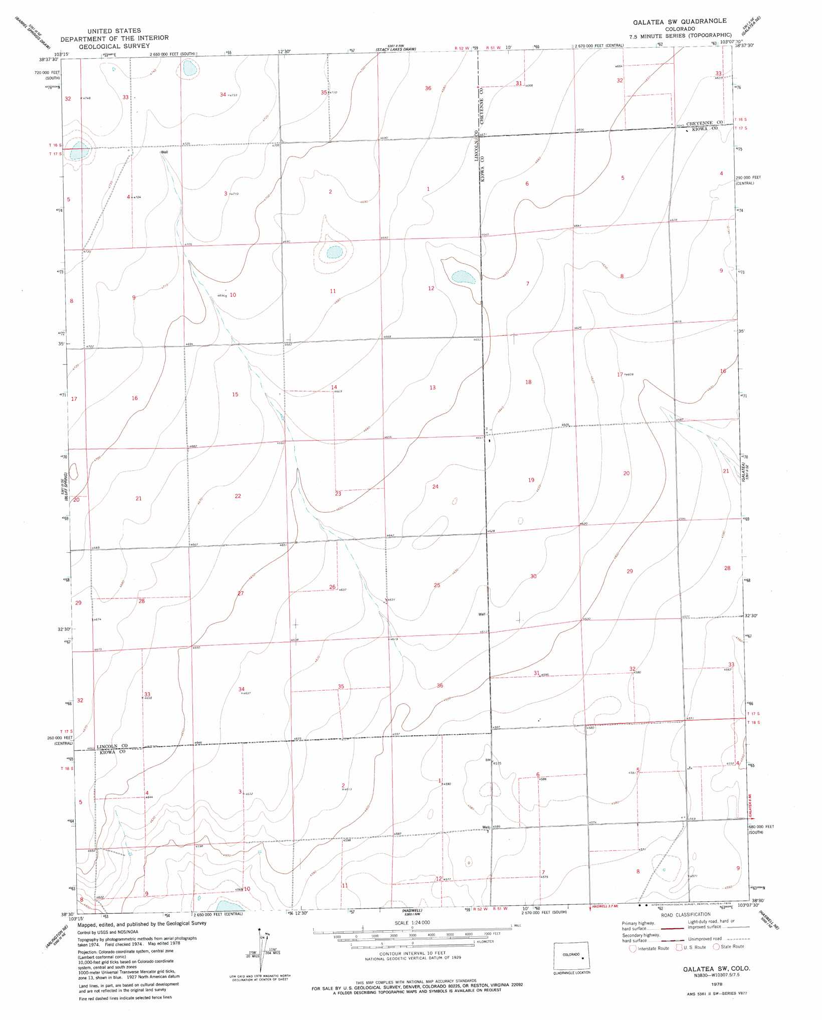
USGS Topo Quad 38103e2 - 1:24,000 scale
| Topo Map Name: | Galatea Sw |
| USGS Topo Quad ID: | 38103e2 |
| Print Size: | ca. 21 1/4" wide x 27" high |
| Southeast Coordinates: | 38.5° N latitude / 103.125° W longitude |
| Map Center Coordinates: | 38.5625° N latitude / 103.1875° W longitude |
| U.S. State: | CO |
| Filename: | o38103e2.jpg |
| Download Map JPG Image: | Galatea Sw topo map 1:24,000 scale |
| Map Type: | Topographic |
| Topo Series: | 7.5´ |
| Map Scale: | 1:24,000 |
| Source of Map Images: | United States Geological Survey (USGS) |
| Alternate Map Versions: |
Galatea SW CO 1978, updated 1978 Download PDF Buy paper map Galatea SW CO 2010 Download PDF Buy paper map Galatea SW CO 2013 Download PDF Buy paper map Galatea SW CO 2016 Download PDF Buy paper map |
1:24,000 Topo Quads surrounding Galatea Sw
Mckenzie Draw |
Rock Basin |
Aroya |
Wild Horse |
Sorrento |
Hubbard Lake |
Barrel Springs Draw |
Stacy Lakes Draw |
Galatea Ne |
Arsenic Lake |
Scott Draw |
Bluff Spring |
Galatea Sw |
Galatea |
Arsenic Lake Sw |
Trimble Lake |
Arlington Ne |
Haswell |
Haswell Ne |
Hawkins |
Houston Lakes |
Arlington |
Long Lake |
Haswell Se |
Rose Ranch |
> Back to 38103e1 at 1:100,000 scale
> Back to 38102a1 at 1:250,000 scale
> Back to U.S. Topo Maps home
No gazetteer data is available for the Galatea Sw topo map sheet.
Galatea Sw digital topo map on disk
Buy this Galatea Sw topo map showing relief, roads, GPS coordinates and other geographical features, as a high-resolution digital map file on DVD: