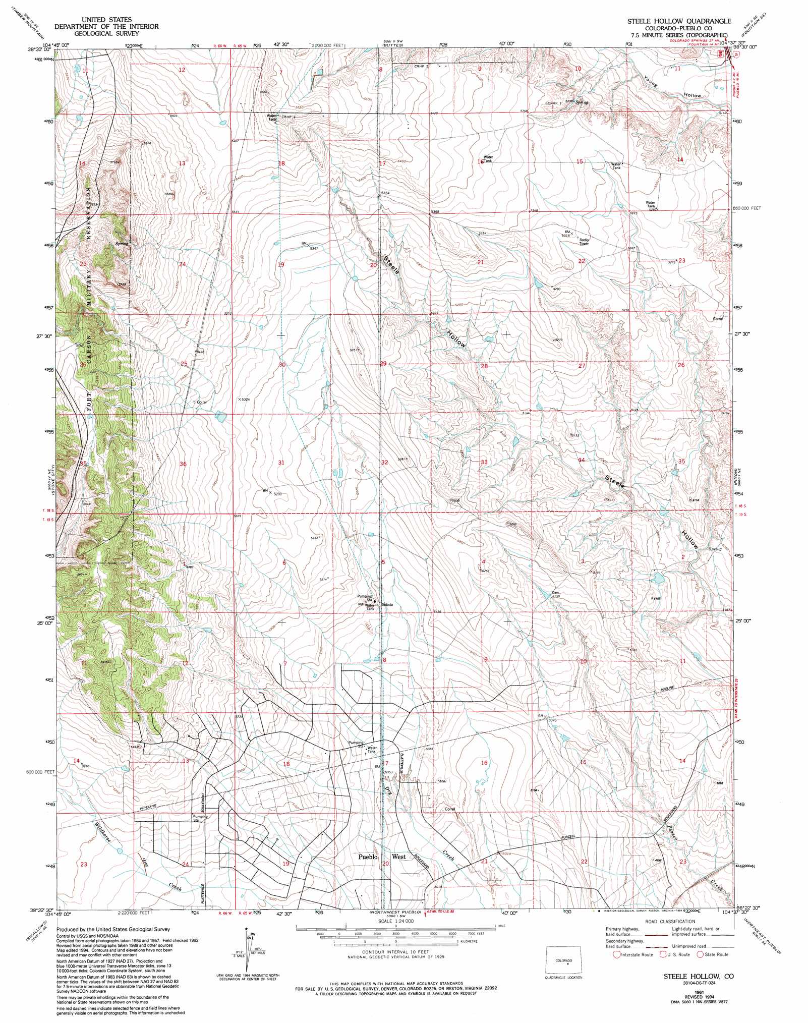
Steele Hollow Topo Map Colorado
To zoom in, hover over the map of Steele Hollow
USGS Topo Quad 38104d6 - 1:24,000 scale
| Topo Map Name: | Steele Hollow |
| USGS Topo Quad ID: | 38104d6 |
| Print Size: | ca. 21 1/4" wide x 27" high |
| Southeast Coordinates: | 38.375° N latitude / 104.625° W longitude |
| Map Center Coordinates: | 38.4375° N latitude / 104.6875° W longitude |
| U.S. State: | CO |
| Filename: | o38104d6.jpg |
| Download Map JPG Image: | Steele Hollow topo map 1:24,000 scale |
| Map Type: | Topographic |
| Topo Series: | 7.5´ |
| Map Scale: | 1:24,000 |
| Source of Map Images: | United States Geological Survey (USGS) |
| Alternate Map Versions: |
Steele Hollow CO 1961, updated 1962 Download PDF Buy paper map Steele Hollow CO 1961, updated 1968 Download PDF Buy paper map Steele Hollow CO 1961, updated 1976 Download PDF Buy paper map Steele Hollow CO 1961, updated 1994 Download PDF Buy paper map Steele Hollow CO 2010 Download PDF Buy paper map Steele Hollow CO 2013 Download PDF Buy paper map Steele Hollow CO 2016 Download PDF Buy paper map |
1:24,000 Topo Quads surrounding Steele Hollow
Mount Big Chief |
Cheyenne Mountain |
Fountain |
Fountain Ne |
Hanover Nw |
Mount Pittsburg |
Timber Mountain |
Buttes |
Fountain Se |
Hanover |
Pierce Gulch |
Stone City |
Steele Hollow |
Pinon |
Bar J H Ranch |
Hobson |
Swallows |
Northwest Pueblo |
Northeast Pueblo |
Devine |
Owl Canyon |
Beulah Ne |
Southwest Pueblo |
Southeast Pueblo |
Vineland |
> Back to 38104a1 at 1:100,000 scale
> Back to 38104a1 at 1:250,000 scale
> Back to U.S. Topo Maps home
No gazetteer data is available for the Steele Hollow topo map sheet.
Steele Hollow digital topo map on disk
Buy this Steele Hollow topo map showing relief, roads, GPS coordinates and other geographical features, as a high-resolution digital map file on DVD: