Morrisonville Topo Map Wisconsin
To zoom in, hover over the map of Morrisonville
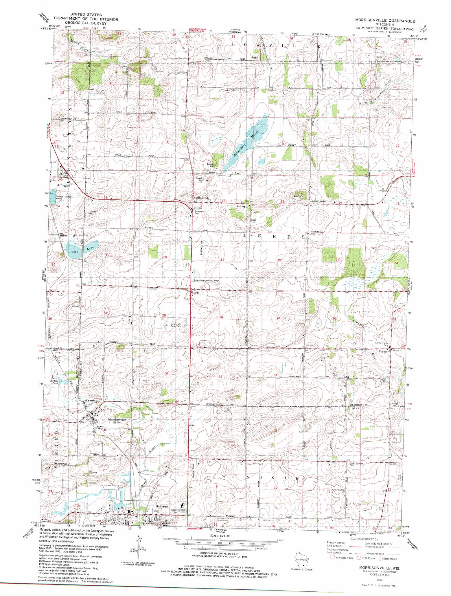
USGS Topo Quad 43089c3 - 1:24,000 scale
| Topo Map Name: | Morrisonville |
| USGS Topo Quad ID: | 43089c3 |
| Print Size: | ca. 21 1/4" wide x 27" high |
| Southeast Coordinates: | 43.25° N latitude / 89.25° W longitude |
| Map Center Coordinates: | 43.3125° N latitude / 89.3125° W longitude |
| U.S. State: | WI |
| Filename: | o43089c3.jpg |
| Download Map JPG Image: | Morrisonville topo map 1:24,000 scale |
| Map Type: | Topographic |
| Topo Series: | 7.5´ |
| Map Scale: | 1:24,000 |
| Source of Map Images: | United States Geological Survey (USGS) |
| Alternate Map Versions: |
Morrisonville WI 1984, updated 1984 Download PDF Buy paper map Morrisonville WI 2010 Download PDF Buy paper map Morrisonville WI 2013 Download PDF Buy paper map Morrisonville WI 2016 Download PDF Buy paper map |
1:24,000 Topo Quads surrounding Morrisonville
Pine Island |
Portage |
Pardeeville |
Sand Spring Creek |
Randolph |
Durwards Glen |
Poynette |
Wyocena |
Rio |
Fall River |
Lodi |
Arlington |
Morrisonville |
North Bristol |
Columbus |
Springfield Corners |
Waunakee |
De Forest |
Sun Prairie |
Marshall |
Middleton |
Madison West |
Madison East |
Cottage Grove |
Deerfield |
> Back to 43089a1 at 1:100,000 scale
> Back to 43088a1 at 1:250,000 scale
> Back to U.S. Topo Maps home
Morrisonville topo map: Gazetteer
Morrisonville: Airports
Del Monte Airport elevation 322m 1056′Elert Airport elevation 296m 971′
Sullivan Field elevation 294m 964′
Wanger-In Airport elevation 321m 1053′
Morrisonville: Lakes
Goose Lake elevation 305m 1000′Morrisonville: Parks
Audubon Goose Pond State Natural Area elevation 303m 994′Morrisonville: Populated Places
Keyeser elevation 305m 1000′Leeds elevation 322m 1056′
Morrisonville elevation 293m 961′
North Leeds elevation 329m 1079′
Morrisonville: Swamps
Schoenberg Marsh elevation 306m 1003′Morrisonville digital topo map on disk
Buy this Morrisonville topo map showing relief, roads, GPS coordinates and other geographical features, as a high-resolution digital map file on DVD: