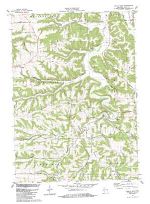
Castle Rock Topo Map Wisconsin
To zoom in, hover over the map of Castle Rock
USGS Topo Quad 43090a5 - 1:24,000 scale
| Topo Map Name: | Castle Rock |
| USGS Topo Quad ID: | 43090a5 |
| Print Size: | ca. 21 1/4" wide x 27" high |
| Southeast Coordinates: | 43° N latitude / 90.5° W longitude |
| Map Center Coordinates: | 43.0625° N latitude / 90.5625° W longitude |
| U.S. State: | WI |
| Filename: | o43090a5.jpg |
| Download Map JPG Image: | Castle Rock topo map 1:24,000 scale |
| Map Type: | Topographic |
| Topo Series: | 7.5´ |
| Map Scale: | 1:24,000 |
| Source of Map Images: | United States Geological Survey (USGS) |
| Alternate Map Versions: |
Castle Rock WI 1983, updated 1983 Download PDF Buy paper map Castle Rock WI 2010 Download PDF Buy paper map Castle Rock WI 2013 Download PDF Buy paper map Castle Rock WI 2016 Download PDF Buy paper map |
1:24,000 Topo Quads surrounding Castle Rock
> Back to 43090a1 at 1:100,000 scale
> Back to 43090a1 at 1:250,000 scale
> Back to U.S. Topo Maps home
Castle Rock topo map: Gazetteer
Castle Rock: Cliffs
Cedar Cliff elevation 287m 941′Castle Rock: Pillars
Castle Rock elevation 257m 843′Castle Rock: Populated Places
Hickory Grove elevation 339m 1112′Homer elevation 323m 1059′
Castle Rock: Valleys
Cass Hollow elevation 262m 859′Cass Valley elevation 245m 803′
Coon Valley elevation 223m 731′
Crow Valley elevation 240m 787′
Gunderson Valley elevation 251m 823′
Pleasant Valley elevation 213m 698′
Shaw Hollow elevation 266m 872′
Castle Rock digital topo map on disk
Buy this Castle Rock topo map showing relief, roads, GPS coordinates and other geographical features, as a high-resolution digital map file on DVD:


