Ruthton Nw Topo Map Minnesota
To zoom in, hover over the map of Ruthton Nw
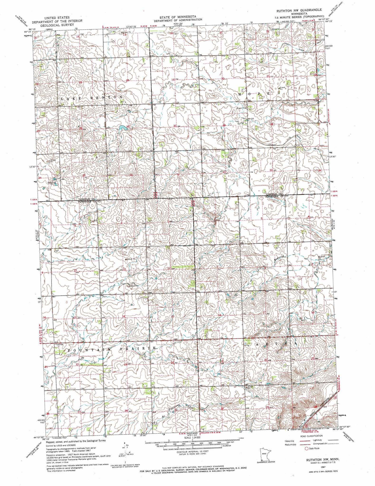
USGS Topo Quad 44096b2 - 1:24,000 scale
| Topo Map Name: | Ruthton Nw |
| USGS Topo Quad ID: | 44096b2 |
| Print Size: | ca. 21 1/4" wide x 27" high |
| Southeast Coordinates: | 44.125° N latitude / 96.125° W longitude |
| Map Center Coordinates: | 44.1875° N latitude / 96.1875° W longitude |
| U.S. State: | MN |
| Filename: | o44096b2.jpg |
| Download Map JPG Image: | Ruthton Nw topo map 1:24,000 scale |
| Map Type: | Topographic |
| Topo Series: | 7.5´ |
| Map Scale: | 1:24,000 |
| Source of Map Images: | United States Geological Survey (USGS) |
| Alternate Map Versions: |
Ruthton NW MN 1967, updated 1968 Download PDF Buy paper map Ruthton NW MN 2010 Download PDF Buy paper map Ruthton NW MN 2013 Download PDF Buy paper map Ruthton NW MN 2016 Download PDF Buy paper map |
1:24,000 Topo Quads surrounding Ruthton Nw
Lake Benton Nw |
Lake Benton Ne |
Arco |
Gislason Lake |
Lynd |
Lake Benton Sw |
Lake Benton |
Tyler |
Dead Coon Lake |
Russell |
Elkton |
Verdi |
Ruthton Nw |
Ruthton |
Current Lake |
Elkton Sw |
Pipestone North |
Holland |
Woodstock |
Balaton Sw |
Jasper Nw |
Pipestone South |
Edgerton North |
Edgerton Ne |
Chandler |
> Back to 44096a1 at 1:100,000 scale
> Back to 44096a1 at 1:250,000 scale
> Back to U.S. Topo Maps home
Ruthton Nw topo map: Gazetteer
Ruthton Nw: Canals
County Ditch Number Seven elevation 522m 1712′County Ditch Number Two elevation 521m 1709′
Ruthton Nw digital topo map on disk
Buy this Ruthton Nw topo map showing relief, roads, GPS coordinates and other geographical features, as a high-resolution digital map file on DVD:
Eastern North Dakota & Eastern South Dakota
Buy digital topo maps: Eastern North Dakota & Eastern South Dakota