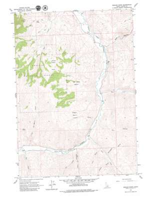
Ziegler Basin Topo Map Idaho
To zoom in, hover over the map of Ziegler Basin
USGS Topo Quad 44114b3 - 1:24,000 scale
| Topo Map Name: | Ziegler Basin |
| USGS Topo Quad ID: | 44114b3 |
| Print Size: | ca. 21 1/4" wide x 27" high |
| Southeast Coordinates: | 44.125° N latitude / 114.25° W longitude |
| Map Center Coordinates: | 44.1875° N latitude / 114.3125° W longitude |
| U.S. State: | ID |
| Filename: | o44114b3.jpg |
| Download Map JPG Image: | Ziegler Basin topo map 1:24,000 scale |
| Map Type: | Topographic |
| Topo Series: | 7.5´ |
| Map Scale: | 1:24,000 |
| Source of Map Images: | United States Geological Survey (USGS) |
| Alternate Map Versions: |
Ziegler Basin ID 1963, updated 1964 Download PDF Buy paper map Ziegler Basin ID 2011 Download PDF Buy paper map Ziegler Basin ID 2013 Download PDF Buy paper map |
| FStopo: | US Forest Service topo Ziegler Basin is available: Download FStopo PDF Download FStopo TIF |
1:24,000 Topo Quads surrounding Ziegler Basin
> Back to 44114a1 at 1:100,000 scale
> Back to 44114a1 at 1:250,000 scale
> Back to U.S. Topo Maps home
Ziegler Basin topo map: Gazetteer
Ziegler Basin: Basins
Joe Jump Basin elevation 2046m 6712′Woods Basin elevation 2125m 6971′
Ziegler Basin elevation 2148m 7047′
Ziegler Basin: Mines
Mule Shoe Mine elevation 2173m 7129′Ziegler Basin: Springs
LMB Spring elevation 1918m 6292′Marco Spring elevation 2067m 6781′
Ziegler Basin: Streams
Fox Creek elevation 1760m 5774′Herd Creek elevation 1747m 5731′
Marco Creek elevation 1811m 5941′
McDonald Creek elevation 1756m 5761′
Pine Creek elevation 1790m 5872′
Road Creek elevation 1716m 5629′
Ziegler Basin: Valleys
Cherry Gulch elevation 1744m 5721′Dry Hollow elevation 1744m 5721′
Frisch Gulch elevation 1792m 5879′
Monument Gulch elevation 1794m 5885′
Spar Canyon elevation 1694m 5557′
Trail Gulch elevation 1784m 5853′
Ziegler Basin digital topo map on disk
Buy this Ziegler Basin topo map showing relief, roads, GPS coordinates and other geographical features, as a high-resolution digital map file on DVD:


