Fort Butte Topo Map Oregon
To zoom in, hover over the map of Fort Butte
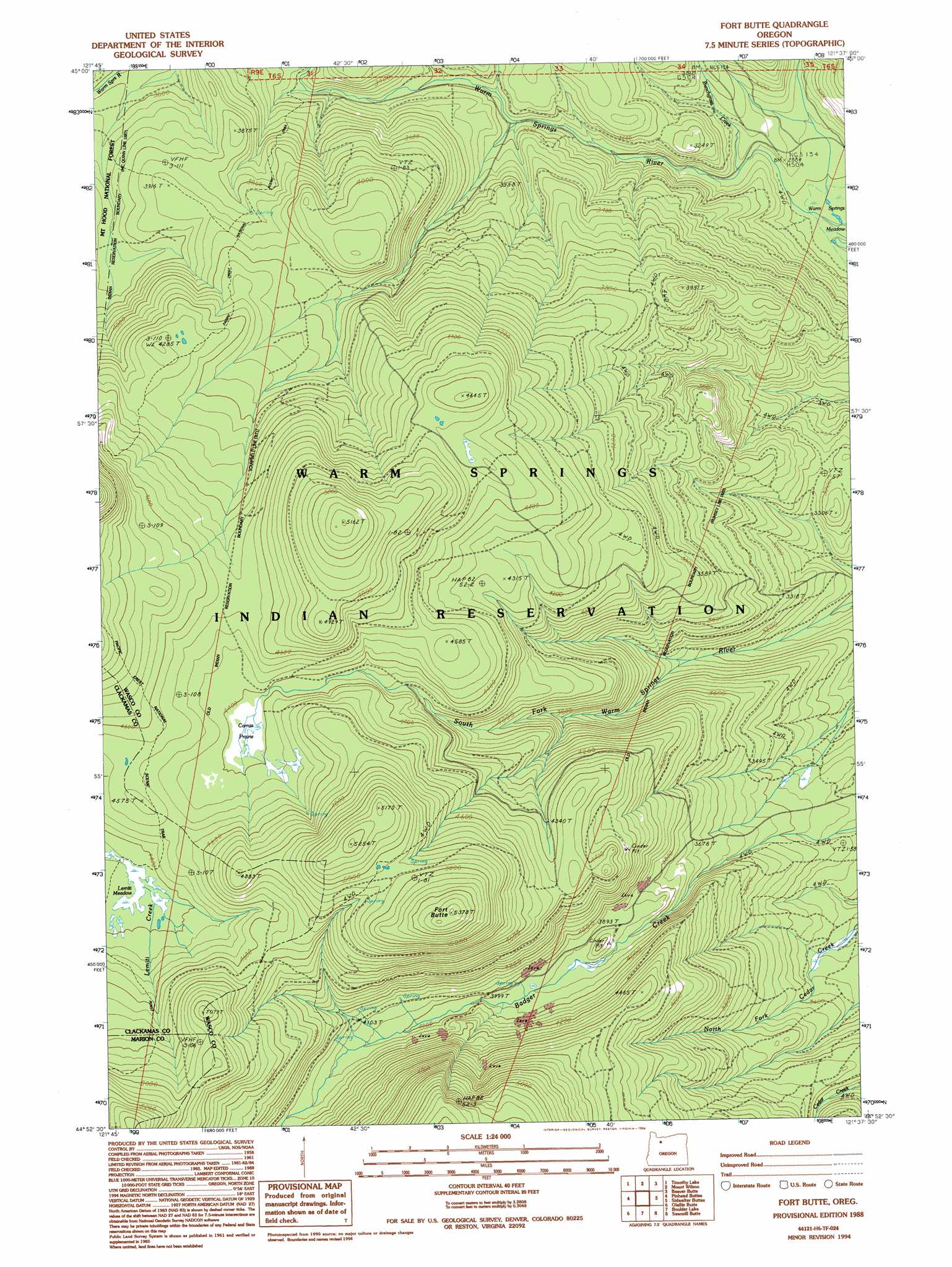
USGS Topo Quad 44121h6 - 1:24,000 scale
| Topo Map Name: | Fort Butte |
| USGS Topo Quad ID: | 44121h6 |
| Print Size: | ca. 21 1/4" wide x 27" high |
| Southeast Coordinates: | 44.875° N latitude / 121.625° W longitude |
| Map Center Coordinates: | 44.9375° N latitude / 121.6875° W longitude |
| U.S. State: | OR |
| Filename: | o44121h6.jpg |
| Download Map JPG Image: | Fort Butte topo map 1:24,000 scale |
| Map Type: | Topographic |
| Topo Series: | 7.5´ |
| Map Scale: | 1:24,000 |
| Source of Map Images: | United States Geological Survey (USGS) |
| Alternate Map Versions: |
Fort Butte OR 1988, updated 1988 Download PDF Buy paper map Fort Butte OR 1988, updated 1994 Download PDF Buy paper map Fort Butte OR 1996, updated 1998 Download PDF Buy paper map Fort Butte OR 2011 Download PDF Buy paper map Fort Butte OR 2014 Download PDF Buy paper map |
| FStopo: | US Forest Service topo Fort Butte is available: Download FStopo PDF Download FStopo TIF |
1:24,000 Topo Quads surrounding Fort Butte
High Rock |
Wolf Peak |
Wapinitia Pass |
Post Point |
Rock Creek Reservoir |
Mount Mitchell |
Timothy Lake |
Mount Wilson |
Beaver Butte |
Foreman Point |
Mount Lowe |
Pinhead Buttes |
Fort Butte |
Sidwalter Buttes |
Hehe Butte |
Breitenbush Hot Spring |
Olallie Butte |
Boulder Lake |
Sawmill Butte |
Potters Ponds |
Mount Bruno |
Mount Jefferson |
Lionshead |
Shitike Butte |
Metolius Bench |
> Back to 44121e1 at 1:100,000 scale
> Back to 44120a1 at 1:250,000 scale
> Back to U.S. Topo Maps home
Fort Butte topo map: Gazetteer
Fort Butte: Streams
Bunchgrass Creek elevation 895m 2936′Fort Butte: Summits
Fort Butte elevation 1636m 5367′North Butte elevation 1106m 3628′
Fort Butte: Swamps
Camas Prairie elevation 1341m 4399′Fort Butte: Trails
Bypass Trail elevation 1147m 3763′Camas Prairie Trail elevation 1315m 4314′
Fort Butte digital topo map on disk
Buy this Fort Butte topo map showing relief, roads, GPS coordinates and other geographical features, as a high-resolution digital map file on DVD: