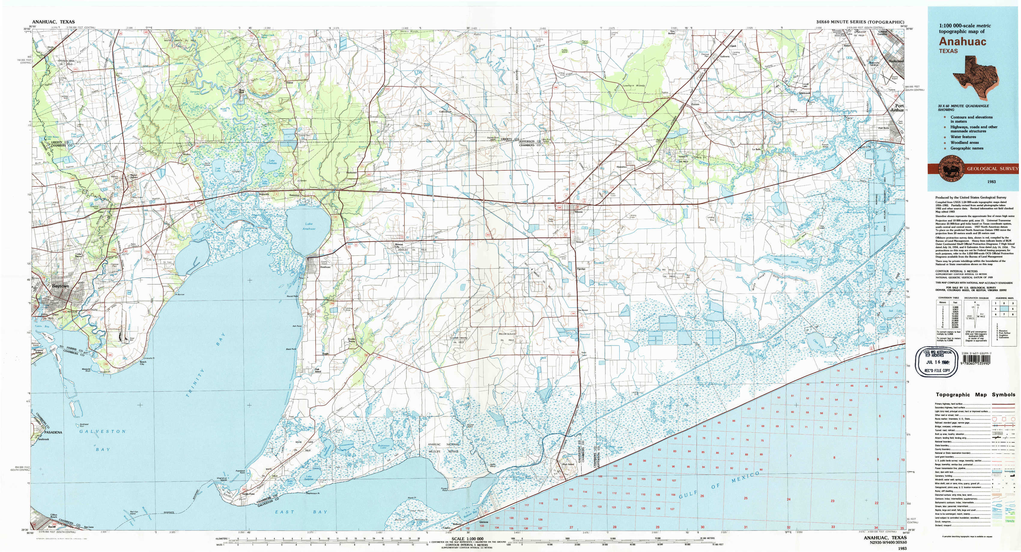
Anahuac Topo Map Texas
To zoom in, hover over the map of Anahuac
USGS Topo Map 29094e1 - 1:100,000 scale
| Topo Map Name: | Anahuac |
| USGS Topo Quad ID: | 29094e1 |
| Print Size: | ca. 39" wide x 24" high |
| Southeast Coordinates: | 29.5° N latitude / 94° W longitude |
| Map Center Coordinates: | 29.75° N latitude / 94.5° W longitude |
| U.S. State: | TX |
| Filename: | 29094e1.jpg |
| Download Map JPG Image: | Anahuac topo map 1:100,000 scale |
| Map Type: | Topographic |
| Topo Series: | 30´x60´ |
| Map Scale: | 1:100,000 |
| Source of Map Images: | United States Geological Survey (USGS) |
| Alternate Map Versions: |
Anahuac TX 1983, updated 1983 Download PDF Buy paper map Anahuac TX 1983, updated 1983 Download PDF Buy paper map |
1:100,000 Topos surrounding Anahuac
Conroe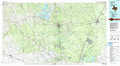 |
Beaumont |
Lake Charles |
Houston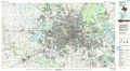 |
Anahuac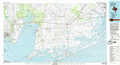 |
Port Arthur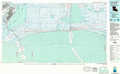 |
Angleton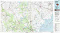 |
Galveston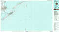 |
> Back to 29094a1 at 1:250,000 scale
> Back to U.S. Topo Maps home
1:24,000 Topo Quads covered by the spatial extent of this 100k map (Anahuac)
|
Sheeks 
|
Moss Bluff 
|
Shiloh 
|
Whites Bayou 
|
Winnie Nw 
|
Fannett West 
|
Fannett East 
|
Port Acres 
|
|
Mont Belvieu 
|
Cove 
|
Anahuac 
|
Monroe City 
|
Stowell 
|
Hamshire 
|
Alligator Hole Marsh 
|
Big Hill Bayou 
|
|
Morgan Point 
|
Umbrella Point 
|
Oak Island 
|
Oyster Bayou 
|
Stanolind Reservoir 
|
Whites Ranch 
|
Star Lake 
|
Clam Lake 
|
|
Bacliff 
|
Smith Point 
|
Lake Stephenson 
|
Frozen Point 
|
High Island 
|
Mud Lake 
|
South Of Star Lake 
|