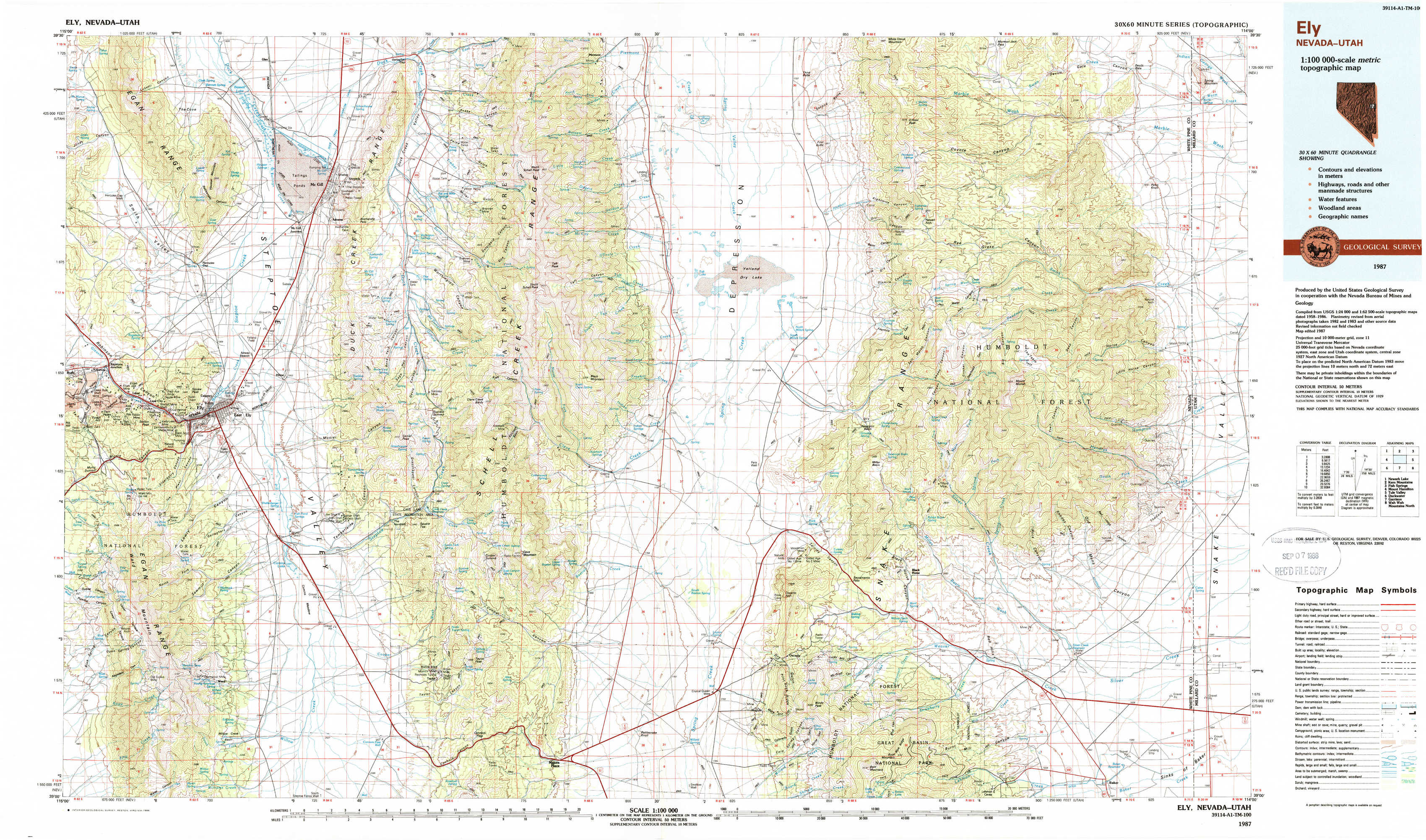
Ely Topo Map Nevada
To zoom in, hover over the map of Ely
USGS Topo Map 39114a1 - 1:100,000 scale
| Topo Map Name: | Ely |
| USGS Topo Quad ID: | 39114a1 |
| Print Size: | ca. 39" wide x 24" high |
| Southeast Coordinates: | 39° N latitude / 114° W longitude |
| Map Center Coordinates: | 39.25° N latitude / 114.5° W longitude |
| U.S. States: | NV, UT |
| Filename: | 39114a1.jpg |
| Download Map JPG Image: | Ely topo map 1:100,000 scale |
| Map Type: | Topographic |
| Topo Series: | 30´x60´ |
| Map Scale: | 1:100,000 |
| Source of Map Images: | United States Geological Survey (USGS) |
| Alternate Map Versions: |
Ely NV 1987 Download PDF Buy paper map Ely NV 1987, updated 1988 Download PDF Buy paper map |
1:100,000 Topos surrounding Ely
Newark Lake |
Kern Mountains |
Fish Springs |
Mount Hamilton |
Ely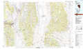 |
Tule Valley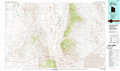 |
Duckwater |
Garrison |
Wah Wah Mountains North |
> Back to 39114a1 at 1:250,000 scale
> Back to U.S. Topo Maps home
1:24,000 Topo Quads covered by the spatial extent of this 100k map (Ely)
|
Lusetti Canyon 
|
Mcgill 
|
Duck Creek Valley 
|
North Schell Peak 
|
Third Butte West 
|
Third Butte East 
|
Mormon Jack Pass 
|
Spring Mountain 
|
|
Ruth 
|
East Ely 
|
Cleve Creek Baldy 
|
South Schell Peak 
|
Yelland Dry Lake 
|
Sixmile Canyon 
|
Mount Moriah 
|
Little Horse Canyon 
|
|
Ely 
|
Comins Lake 
|
Cave Creek 
|
Cave Mountain 
|
South Bastian Spring 
|
Sacramento Pass 
|
Old Mans Canyon 
|
The Cove 
|
|
Ward Mountain 
|
Ward Charcoal Ovens 
|
Connors Pass 
|
Majors Place 
|
Hogum 
|
Windy Peak 
|
Lehman Caves 
|
Baker 
|