Penney Farms Topo Map Florida
To zoom in, hover over the map of Penney Farms
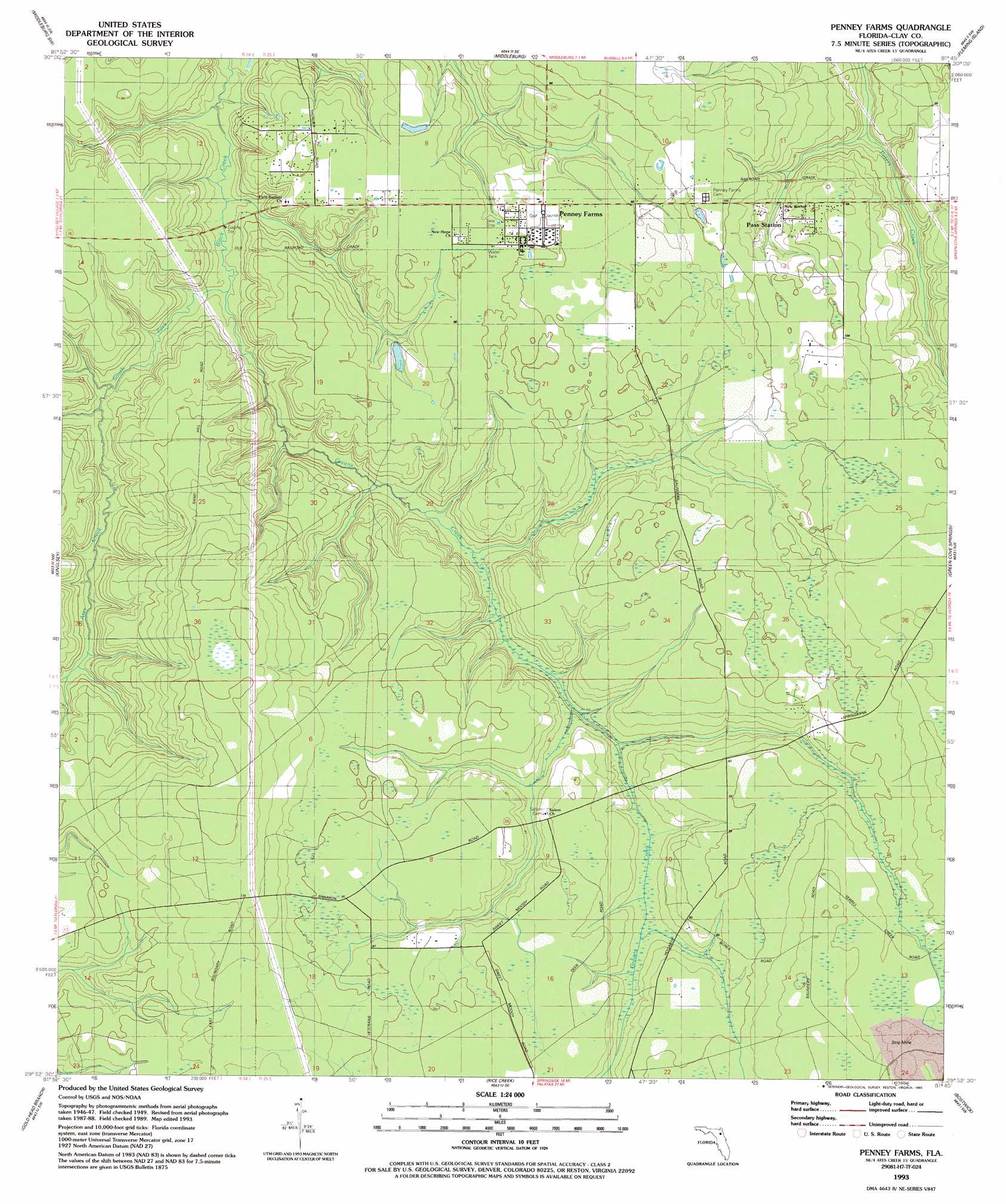
USGS Topo Quad 29081h7 - 1:24,000 scale
| Topo Map Name: | Penney Farms |
| USGS Topo Quad ID: | 29081h7 |
| Print Size: | ca. 21 1/4" wide x 27" high |
| Southeast Coordinates: | 29.875° N latitude / 81.75° W longitude |
| Map Center Coordinates: | 29.9375° N latitude / 81.8125° W longitude |
| U.S. State: | FL |
| Filename: | O29081H7.jpg |
| Download Map JPG Image: | Penney Farms topo map 1:24,000 scale |
| Map Type: | Topographic |
| Topo Series: | 7.5´ |
| Map Scale: | 1:24,000 |
| Source of Map Images: | United States Geological Survey (USGS) |
| Alternate Map Versions: |
Penney Farms FL 1949, updated 1953 Download PDF Buy paper map Penney Farms FL 1949, updated 1972 Download PDF Buy paper map Penney Farms FL 1949, updated 1980 Download PDF Buy paper map Penney Farms FL 1949, updated 1986 Download PDF Buy paper map Penney Farms FL 1993, updated 1993 Download PDF Buy paper map Penney Farms FL 2012 Download PDF Buy paper map Penney Farms FL 2015 Download PDF Buy paper map |
1:24,000 Topo Quads surrounding Penney Farms
Maxville |
Fiftone |
Jacksonville Heights |
Orange Park |
Bayard |
Lawtey |
Middleburg Sw |
Middleburg |
Fleming Island |
Orangedale |
Starke |
Kingsley |
Penney Farms |
Green Cove Springs |
Picolata |
Keystone Heights |
Gold Head Branch |
Rice Creek |
Bostwick |
Riverdale |
Melrose |
Putnam Hall |
Baywood |
Palatka |
Hastings |
> Back to 29081e1 at 1:100,000 scale
> Back to 29080a1 at 1:250,000 scale
> Back to U.S. Topo Maps home
Penney Farms topo map: Gazetteer
Penney Farms: Populated Places
Pass Station elevation 26m 85′Penney Farms elevation 29m 95′
Penney Farms: Streams
Ates Creek elevation 9m 29′Greens Creek elevation 8m 26′
Penney Farms digital topo map on disk
Buy this Penney Farms topo map showing relief, roads, GPS coordinates and other geographical features, as a high-resolution digital map file on DVD: