Sidewinder Well Topo Map California
To zoom in, hover over the map of Sidewinder Well
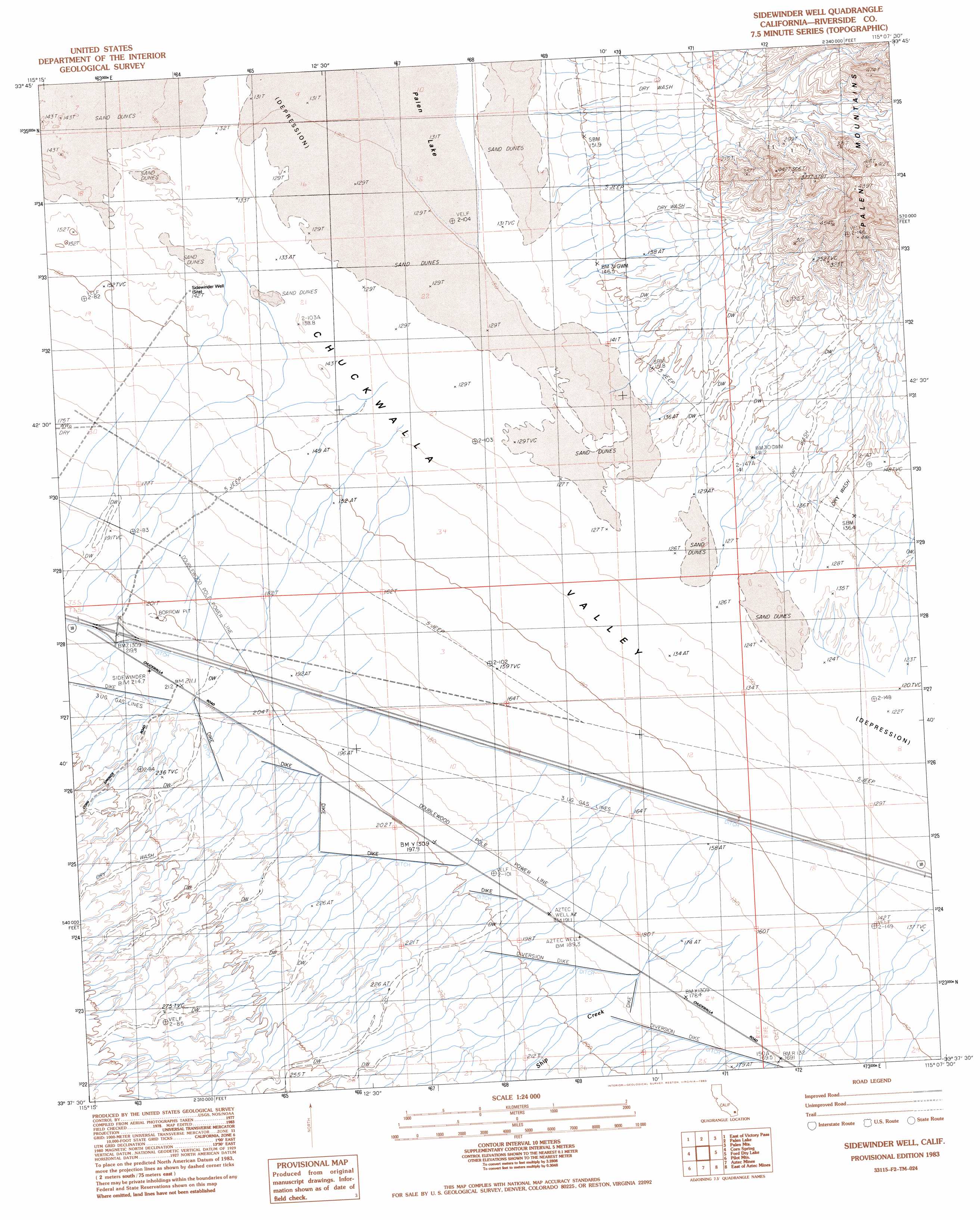
USGS Topo Quad 33115f2 - 1:24,000 scale
| Topo Map Name: | Sidewinder Well |
| USGS Topo Quad ID: | 33115f2 |
| Print Size: | ca. 21 1/4" wide x 27" high |
| Southeast Coordinates: | 33.625° N latitude / 115.125° W longitude |
| Map Center Coordinates: | 33.6875° N latitude / 115.1875° W longitude |
| U.S. State: | CA |
| Filename: | o33115f2.jpg |
| Download Map JPG Image: | Sidewinder Well topo map 1:24,000 scale |
| Map Type: | Topographic |
| Topo Series: | 7.5´ |
| Map Scale: | 1:24,000 |
| Source of Map Images: | United States Geological Survey (USGS) |
| Alternate Map Versions: |
Sidewinder Well CA 1983, updated 1983 Download PDF Buy paper map Sidewinder Well CA 2012 Download PDF Buy paper map Sidewinder Well CA 2015 Download PDF Buy paper map |
1:24,000 Topo Quads surrounding Sidewinder Well
Pinto Wells |
Coxcomb Mountains |
West Of Palen Pass |
Palen Pass |
Little Maria Mountains |
Victory Pass |
East Of Victory Pass |
Palen Lake |
Palen Mountains |
Arlington Mine |
Desert Center |
Corn Spring |
Sidewinder Well |
Ford Dry Lake |
Mccoy Spring |
Red Cloud Canyon |
Pilot Mountain |
Aztec Mines |
East Of Aztec Mines |
Hopkins Well |
Iris Pass |
Augustine Pass |
Chuckwalla Spring |
Little Chuckwalla Mountains |
Wileys Well |
> Back to 33115e1 at 1:100,000 scale
> Back to 33114a1 at 1:250,000 scale
> Back to U.S. Topo Maps home
Sidewinder Well topo map: Gazetteer
Sidewinder Well: Streams
Corn Springs Wash elevation 164m 538′Ship Creek elevation 184m 603′
Sidewinder Well: Wells
Sidewinder Well elevation 142m 465′Sidewinder Well digital topo map on disk
Buy this Sidewinder Well topo map showing relief, roads, GPS coordinates and other geographical features, as a high-resolution digital map file on DVD: