Sawmill Topo Map Arizona
To zoom in, hover over the map of Sawmill
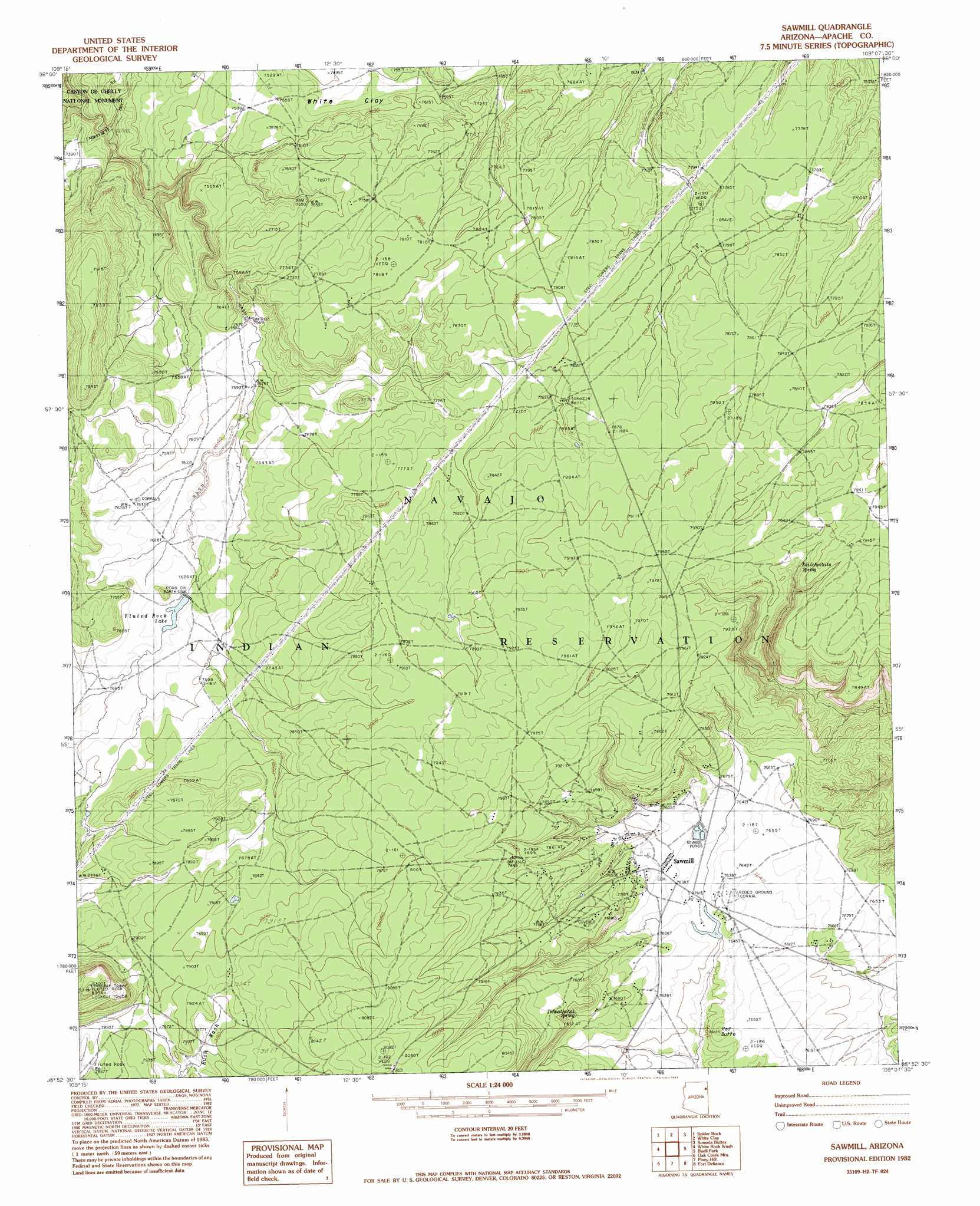
USGS Topo Quad 35109h2 - 1:24,000 scale
| Topo Map Name: | Sawmill |
| USGS Topo Quad ID: | 35109h2 |
| Print Size: | ca. 21 1/4" wide x 27" high |
| Southeast Coordinates: | 35.875° N latitude / 109.125° W longitude |
| Map Center Coordinates: | 35.9375° N latitude / 109.1875° W longitude |
| U.S. State: | AZ |
| Filename: | o35109h2.jpg |
| Download Map JPG Image: | Sawmill topo map 1:24,000 scale |
| Map Type: | Topographic |
| Topo Series: | 7.5´ |
| Map Scale: | 1:24,000 |
| Source of Map Images: | United States Geological Survey (USGS) |
| Alternate Map Versions: |
Zith-Tusayan Butte 1 NW AZ 1955, updated 1958 Download PDF Buy paper map Sawmill AZ 1982, updated 1983 Download PDF Buy paper map Sawmill AZ 2011 Download PDF Buy paper map Sawmill AZ 2014 Download PDF Buy paper map |
1:24,000 Topo Quads surrounding Sawmill
Del Merto |
Mummy Cave Ruins |
Lower Wheatfields |
Upper Wheatfields |
Toadlena |
Three Turkey Canyon |
Spider Rock |
White Clay |
Sonsela Buttes |
Crystal |
Nazlini |
White Rock Wash |
Sawmill |
Buell Park |
Todilto Park |
Red Clay Wash |
Oak Creek Mountain |
Piney Hill |
Fort Defiance |
Crevasse Canyon |
Kinlichee |
East Of Kinlichee |
West Of Window Rock |
Window Rock |
Tse Bonita School |
> Back to 35109e1 at 1:100,000 scale
> Back to 35108a1 at 1:250,000 scale
> Back to U.S. Topo Maps home
Sawmill topo map: Gazetteer
Sawmill: Populated Places
Sawmill elevation 0m 0′Sawmill: Post Offices
Sawmill Post Office elevation 2342m 7683′Sawmill: Reservoirs
Fluted Rock Lake elevation 2331m 7647′Quartzite Wash Reservoir elevation 2318m 7604′
Sawmill: Springs
Kailcheebito Spring elevation 2388m 7834′Tohnalchai Spring elevation 2362m 7749′
Tokezje Spring elevation 2385m 7824′
Sawmill: Summits
Fluted Rock elevation 2528m 8293′Red Butte elevation 2336m 7664′
Sawmill: Wells
Fluted Rock Well elevation 2396m 7860′Sawmill digital topo map on disk
Buy this Sawmill topo map showing relief, roads, GPS coordinates and other geographical features, as a high-resolution digital map file on DVD: