Bushnell Sw Topo Map Nebraska
To zoom in, hover over the map of Bushnell Sw
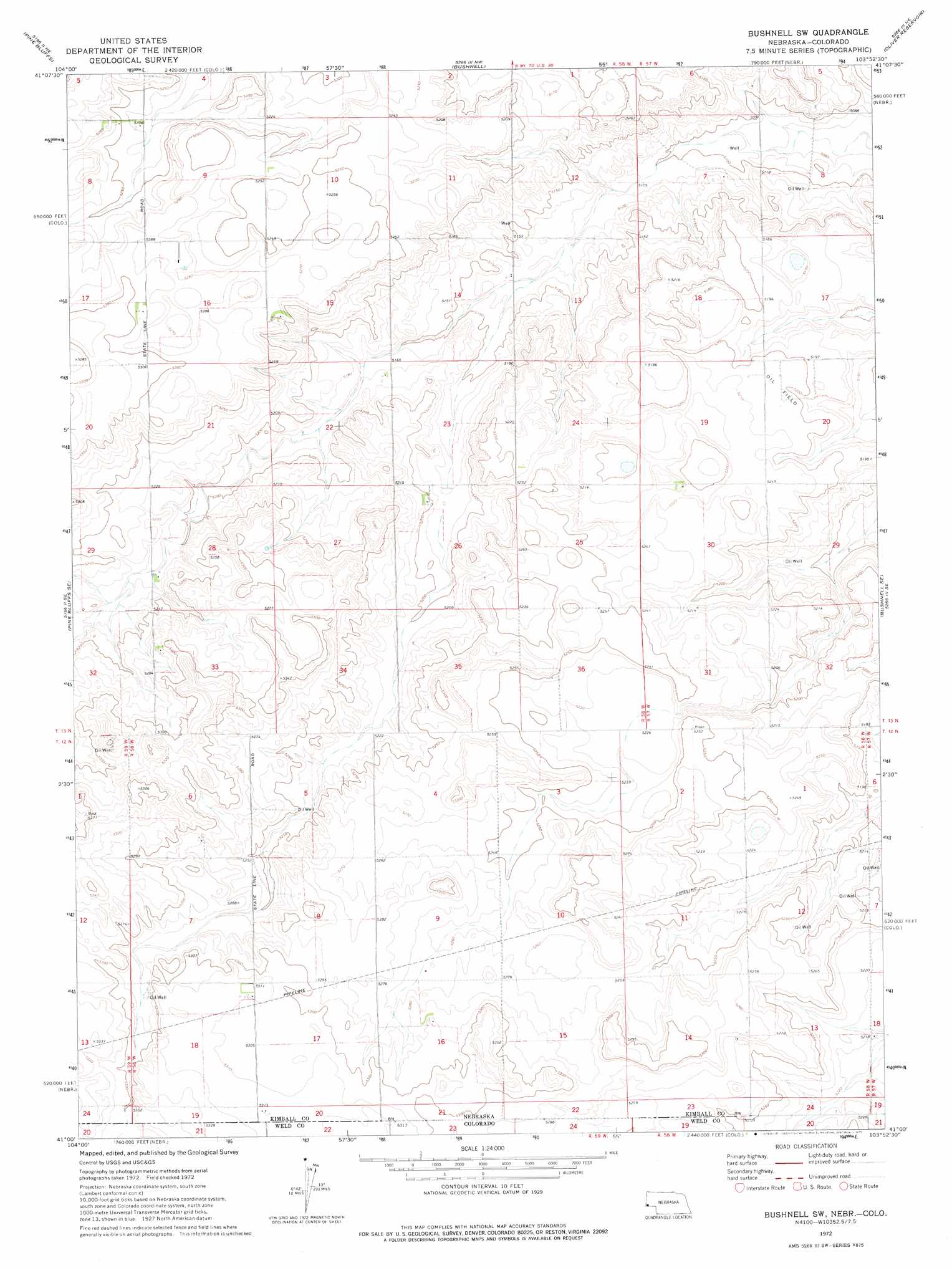
USGS Topo Quad 41103a8 - 1:24,000 scale
| Topo Map Name: | Bushnell Sw |
| USGS Topo Quad ID: | 41103a8 |
| Print Size: | ca. 21 1/4" wide x 27" high |
| Southeast Coordinates: | 41° N latitude / 103.875° W longitude |
| Map Center Coordinates: | 41.0625° N latitude / 103.9375° W longitude |
| U.S. States: | NE, CO |
| Filename: | O41103A8.jpg |
| Download Map JPG Image: | Bushnell Sw topo map 1:24,000 scale |
| Map Type: | Topographic |
| Topo Series: | 7.5´ |
| Map Scale: | 1:24,000 |
| Source of Map Images: | United States Geological Survey (USGS) |
| Alternate Map Versions: |
Bushnell SW NE 1972, updated 1974 Download PDF Buy paper map Bushnell SW NE 2011 Download PDF Buy paper map Bushnell SW NE 2014 Download PDF Buy paper map |
| FStopo: | US Forest Service topo Bushnell SW is available: Download FStopo PDF Download FStopo TIF |
1:24,000 Topo Quads surrounding Bushnell Sw
Albin Sw |
Lindbergh |
Kimball 2 Sw |
Kimball 2 Se |
Bennett Reservoir West |
Tracy |
Pine Bluffs |
Bushnell |
Oliver Reservoir |
Kimball |
Pine Bluffs Sw |
Pine Bluffs Se |
Bushnell Sw |
Bushnell Se |
Kimball Sw |
Grover North |
Grover Ne |
Dolan Spring |
Vim School |
Battle Canyon |
Grover South |
Grover Se |
Pawnee Buttes |
Gatehook Spring |
Avalo |
> Back to 41103a1 at 1:100,000 scale
> Back to 41102a1 at 1:250,000 scale
> Back to U.S. Topo Maps home
No gazetteer data is available for the Bushnell Sw topo map sheet.
Bushnell Sw digital topo map on disk
Buy this Bushnell Sw topo map showing relief, roads, GPS coordinates and other geographical features, as a high-resolution digital map file on DVD:
Eastern Wyoming & Western South Dakota
Buy digital topo maps: Eastern Wyoming & Western South Dakota