Stitzer Topo Map Wisconsin
To zoom in, hover over the map of Stitzer
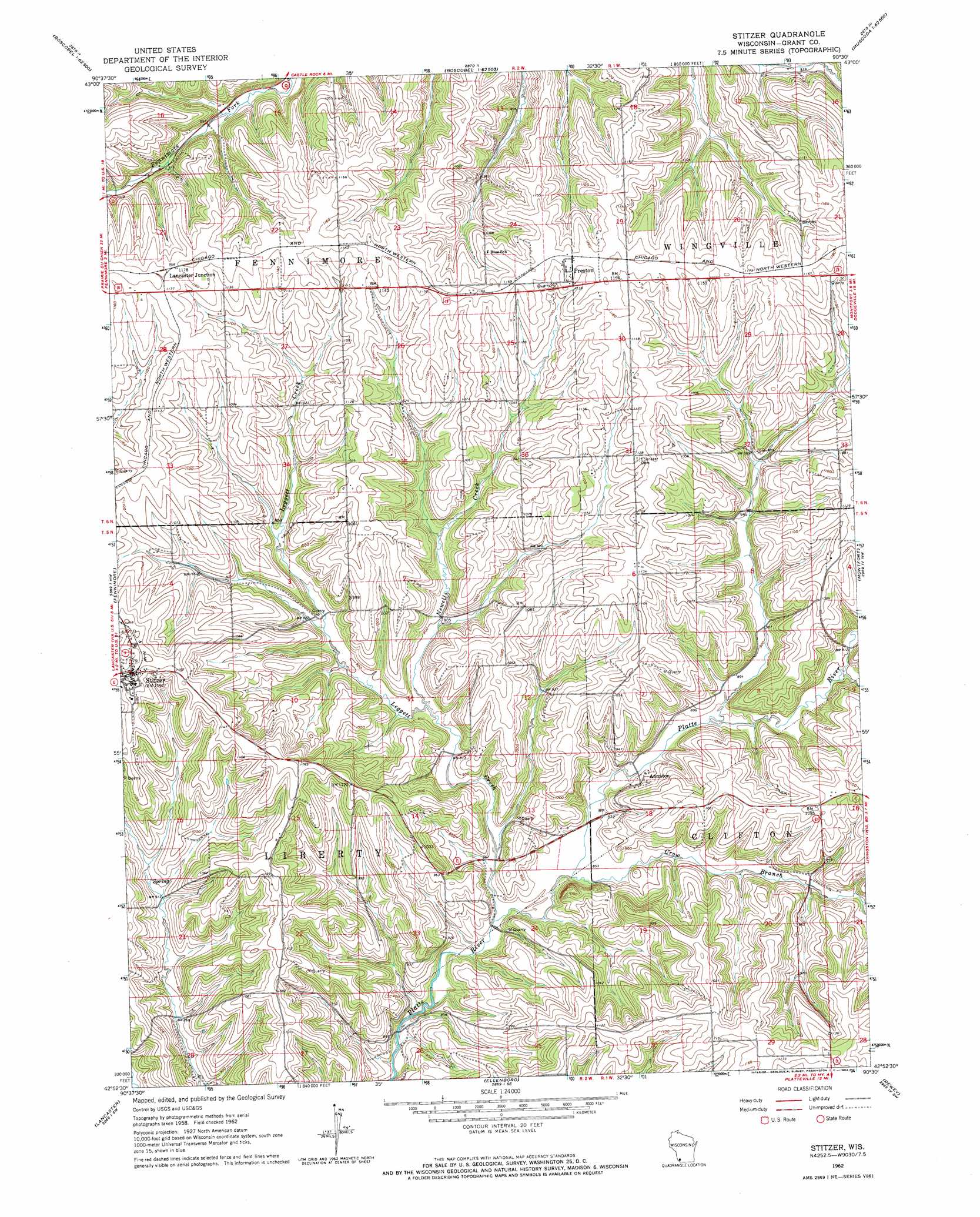
USGS Topo Quad 42090h5 - 1:24,000 scale
| Topo Map Name: | Stitzer |
| USGS Topo Quad ID: | 42090h5 |
| Print Size: | ca. 21 1/4" wide x 27" high |
| Southeast Coordinates: | 42.875° N latitude / 90.5° W longitude |
| Map Center Coordinates: | 42.9375° N latitude / 90.5625° W longitude |
| U.S. State: | WI |
| Filename: | o42090h5.jpg |
| Download Map JPG Image: | Stitzer topo map 1:24,000 scale |
| Map Type: | Topographic |
| Topo Series: | 7.5´ |
| Map Scale: | 1:24,000 |
| Source of Map Images: | United States Geological Survey (USGS) |
| Alternate Map Versions: |
Stitzer WI 1962, updated 1964 Download PDF Buy paper map Stitzer WI 2010 Download PDF Buy paper map Stitzer WI 2013 Download PDF Buy paper map Stitzer WI 2016 Download PDF Buy paper map |
1:24,000 Topo Quads surrounding Stitzer
Steuben |
Boscobel |
Blue River |
Muscoda |
Avoca |
Wauzeka East |
Long Hollow |
Castle Rock |
Highland West |
Highland East |
Mount Hope |
Fennimore |
Stitzer |
Montfort |
Linden |
Hurricane |
Lancaster |
Ellenboro |
Rewey |
Mifflin |
Balltown |
Potosi |
Dickeyville |
Platteville |
Belmont |
> Back to 42090e1 at 1:100,000 scale
> Back to 42090a1 at 1:250,000 scale
> Back to U.S. Topo Maps home
Stitzer topo map: Gazetteer
Stitzer: Populated Places
Annaton elevation 273m 895′Lancaster Junction elevation 358m 1174′
Preston elevation 354m 1161′
Stitzer elevation 361m 1184′
Stitzer: Streams
Crow Branch elevation 256m 839′Leggett Creek elevation 253m 830′
Martinville Creek elevation 273m 895′
Newell Creek elevation 267m 875′
Stitzer digital topo map on disk
Buy this Stitzer topo map showing relief, roads, GPS coordinates and other geographical features, as a high-resolution digital map file on DVD: