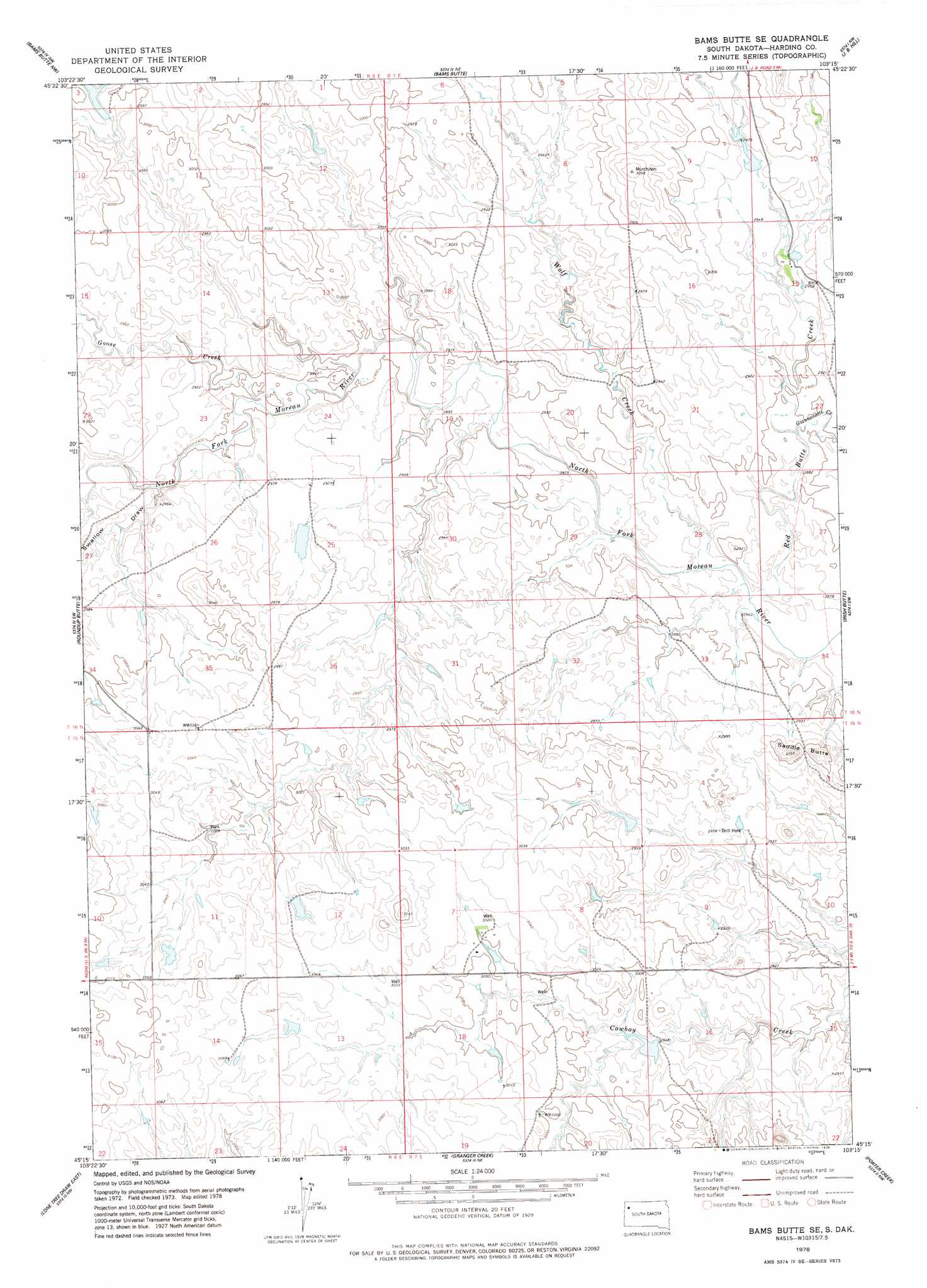
Bams Butte Se Topo Map South Dakota
To zoom in, hover over the map of Bams Butte Se
USGS Topo Quad 45103c3 - 1:24,000 scale
| Topo Map Name: | Bams Butte Se |
| USGS Topo Quad ID: | 45103c3 |
| Print Size: | ca. 21 1/4" wide x 27" high |
| Southeast Coordinates: | 45.25° N latitude / 103.25° W longitude |
| Map Center Coordinates: | 45.3125° N latitude / 103.3125° W longitude |
| U.S. State: | SD |
| Filename: | o45103c3.jpg |
| Download Map JPG Image: | Bams Butte Se topo map 1:24,000 scale |
| Map Type: | Topographic |
| Topo Series: | 7.5´ |
| Map Scale: | 1:24,000 |
| Source of Map Images: | United States Geological Survey (USGS) |
| Alternate Map Versions: |
Bams Butte SE SD 1978, updated 1978 Download PDF Buy paper map Bams Butte SE SD 2012 Download PDF Buy paper map Bams Butte SE SD 2015 Download PDF Buy paper map |
1:24,000 Topo Quads surrounding Bams Butte Se
Buffalo |
Sheep Pen Draw Sw |
Sheep Pen Draw Se |
Battleship Rock |
Reva |
Redig Ne |
Bams Butte Nw |
Bams Butte |
J B Hill |
Flat Top Butte |
Redig |
Roundup Butte |
Bams Butte Se |
Irish Butte |
Sheep Mountain |
Lone Tree Draw West |
Lone Tree Draw East |
Granger Creek |
Porter Creek |
Fish Draw |
Antelope Creek East |
Haystack Butte |
Hoover |
Deers Ears Butte North |
Tomato Can Buttes |
> Back to 45103a1 at 1:100,000 scale
> Back to 45102a1 at 1:250,000 scale
> Back to U.S. Topo Maps home
Bams Butte Se topo map: Gazetteer
Bams Butte Se: Dams
Lemm Dam elevation 903m 2962′West Butte Dam elevation 902m 2959′
Bams Butte Se: Streams
Giannonatti Creek elevation 879m 2883′Goose Creek elevation 883m 2896′
Red Butte Creek elevation 870m 2854′
Wolf Creek elevation 872m 2860′
Bams Butte Se: Summits
Saddle Butte elevation 939m 3080′Bams Butte Se: Valleys
Swallow Draw elevation 885m 2903′Bams Butte Se digital topo map on disk
Buy this Bams Butte Se topo map showing relief, roads, GPS coordinates and other geographical features, as a high-resolution digital map file on DVD:
Eastern Montana & Western North Dakota
Buy digital topo maps: Eastern Montana & Western North Dakota