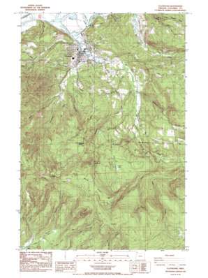
Clatskanie Topo Map Oregon
To zoom in, hover over the map of Clatskanie
USGS Topo Quad 46123a2 - 1:24,000 scale
| Topo Map Name: | Clatskanie |
| USGS Topo Quad ID: | 46123a2 |
| Print Size: | ca. 21 1/4" wide x 27" high |
| Southeast Coordinates: | 46° N latitude / 123.125° W longitude |
| Map Center Coordinates: | 46.0625° N latitude / 123.1875° W longitude |
| U.S. State: | OR |
| Filename: | o46123a2.jpg |
| Download Map JPG Image: | Clatskanie topo map 1:24,000 scale |
| Map Type: | Topographic |
| Topo Series: | 7.5´ |
| Map Scale: | 1:24,000 |
| Source of Map Images: | United States Geological Survey (USGS) |
| Alternate Map Versions: |
Clatskanie OR 1985, updated 1985 Download PDF Buy paper map Clatskanie OR 2011 Download PDF Buy paper map Clatskanie OR 2014 Download PDF Buy paper map |
1:24,000 Topo Quads surrounding Clatskanie
> Back to 46123a1 at 1:100,000 scale
> Back to 46122a1 at 1:250,000 scale
> Back to U.S. Topo Maps home
Clatskanie topo map: Gazetteer
Clatskanie: Channels
Beaver Dredge Cut elevation 5m 16′Clatskanie: Cliffs
The Billboard elevation 452m 1482′Clatskanie: Gaps
Windy Gap elevation 490m 1607′Clatskanie: Lakes
Scout Lake elevation 236m 774′Clatskanie: Parks
Beaver Boat Ramp elevation 7m 22′Clatskanie City Park elevation 5m 16′
Clatskanie: Populated Places
Clatskanie elevation 33m 108′Clatskanie Heights elevation 326m 1069′
Clatskanie: Post Offices
Clatskanie Post Office elevation 33m 108′Dent Post Office (historical) elevation 39m 127′
Clatskanie: Ridges
Windy Ridge elevation 521m 1709′Clatskanie: Springs
Big Spring elevation 396m 1299′Clatskanie: Streams
Clatskanie River elevation 4m 13′Conyers Creek elevation 5m 16′
East Creek elevation 39m 127′
Eastman Creek elevation 169m 554′
Fall Creek elevation 5m 16′
Keystone Creek elevation 18m 59′
Langfeld Creek elevation 24m 78′
Martin Creek elevation 10m 32′
Merril Creek elevation 14m 45′
Messing Creek elevation 169m 554′
Miller Creek elevation 64m 209′
Page Creek elevation 66m 216′
Roaring Creek elevation 29m 95′
Vonberg Creek elevation 63m 206′
West Creek elevation 42m 137′
Clatskanie: Summits
Benson Point elevation 569m 1866′Palm Hill elevation 149m 488′
Windy Mountain elevation 482m 1581′
Clatskanie digital topo map on disk
Buy this Clatskanie topo map showing relief, roads, GPS coordinates and other geographical features, as a high-resolution digital map file on DVD:


