Redby Ne Topo Map Minnesota
To zoom in, hover over the map of Redby Ne
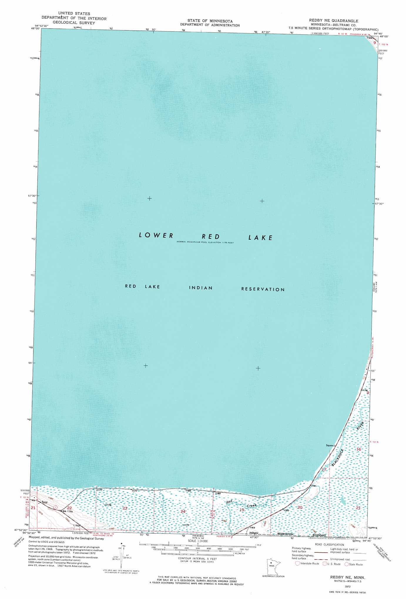
USGS Topo Quad 47094h7 - 1:24,000 scale
| Topo Map Name: | Redby Ne |
| USGS Topo Quad ID: | 47094h7 |
| Print Size: | ca. 21 1/4" wide x 27" high |
| Southeast Coordinates: | 47.875° N latitude / 94.75° W longitude |
| Map Center Coordinates: | 47.9375° N latitude / 94.8125° W longitude |
| U.S. State: | MN |
| Filename: | p47094h7.jpg |
| Download Map JPG Image: | Redby Ne topo map 1:24,000 scale |
| Map Type: | Orthophoto |
| Topo Series: | 7.5´ |
| Map Scale: | 1:24,000 |
| Source of Map Images: | United States Geological Survey (USGS) |
| Alternate Map Versions: |
Redby NE MN 1972, updated 1974 Download PDF Buy paper map Redby NE MN 2010 Download PDF Buy paper map Redby NE MN 2013 Download PDF Buy paper map Redby NE MN 2016 Download PDF Buy paper map |
1:24,000 Topo Quads surrounding Redby Ne
Manomin Creek |
Ponemah Nw |
Ponemah Ne |
Waskish Nw |
Waskish |
Manomin Creek Se |
Ponemah |
Sucker Creek |
Shotley |
Shotley Brook |
Redby Ne |
Saum |
Saum Ne |
||
Red Lake |
Redby |
Nebish |
O'Brien Lookout Tower |
Borden Lake |
Aure |
Puposky Lake |
White Fish Lake |
Tenstrike |
Blackduck |
> Back to 47094e1 at 1:100,000 scale
> Back to 47094a1 at 1:250,000 scale
> Back to U.S. Topo Maps home
Redby Ne topo map: Gazetteer
Redby Ne: Streams
Blackduck River elevation 360m 1181′Hay Creek elevation 359m 1177′
Redby Ne digital topo map on disk
Buy this Redby Ne topo map showing relief, roads, GPS coordinates and other geographical features, as a high-resolution digital map file on DVD: