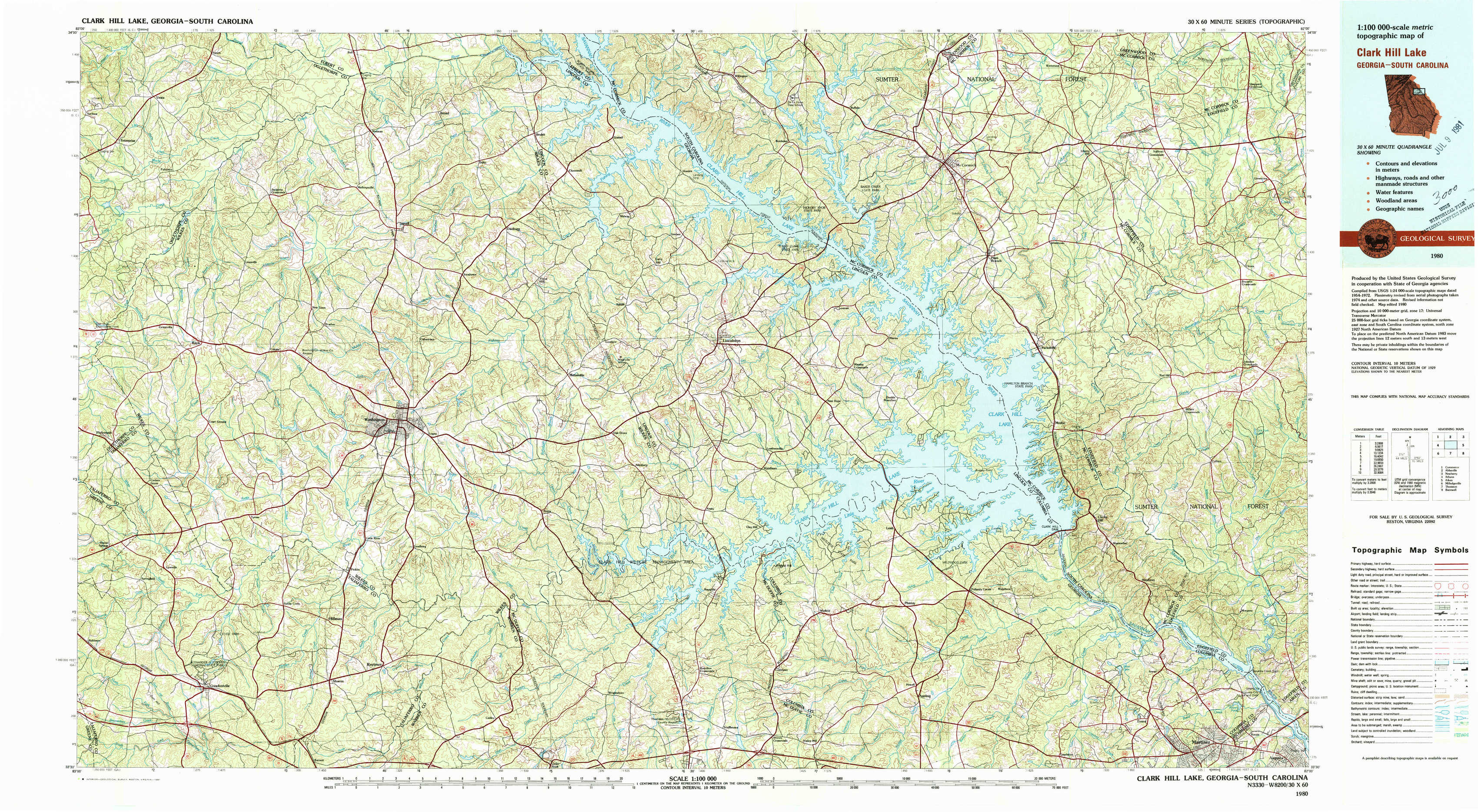
Clark Hill Lake Topo Map Georgia
To zoom in, hover over the map of Clark Hill Lake
USGS Topo Map 33082e1 - 1:100,000 scale
| Topo Map Name: | Clark Hill Lake |
| USGS Topo Quad ID: | 33082e1 |
| Print Size: | ca. 39" wide x 24" high |
| Southeast Coordinates: | 33.5° N latitude / 82° W longitude |
| Map Center Coordinates: | 33.75° N latitude / 82.5° W longitude |
| U.S. States: | GA, SC |
| Filename: | 33082e1.jpg |
| Download Map JPG Image: | Clark Hill Lake topo map 1:100,000 scale |
| Map Type: | Topographic |
| Topo Series: | 30´x60´ |
| Map Scale: | 1:100,000 |
| Source of Map Images: | United States Geological Survey (USGS) |
| Alternate Map Versions: |
Clark Hill Lake GA 1980, updated 1981 Download PDF Buy paper map |
1:100,000 Topos surrounding Clark Hill Lake
Commerce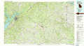 |
Abbeville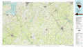 |
Newberry |
Athens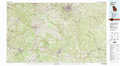 |
Clark Hill Lake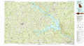 |
Aiken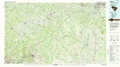 |
Milledgeville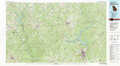 |
Thomson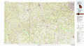 |
Barnwell |
> Back to 33082a1 at 1:250,000 scale
> Back to U.S. Topo Maps home
1:24,000 Topo Quads covered by the spatial extent of this 100k map (Clark Hill Lake)
|
Vesta 
|
Jacksons Crossroads 
|
Broad 
|
Chennault 
|
Willington 
|
Mccormick 
|
Winterseat 
|
Limestone 
|
|
Rayle 
|
Celeste 
|
Tignall 
|
Metasville 
|
Lincolnton 
|
Plum Branch 
|
Parksville 
|
Red Hill 
|
|
Philomath 
|
Washington West 
|
Washington East 
|
Aonia 
|
Woodlawn 
|
Leah 
|
Clarks Hill 
|
Colliers 
|
|
Crawfordville 
|
Sharon 
|
Cadley 
|
Wrightsboro 
|
Winfield 
|
Appling 
|
Evans 
|
Martinez 
|