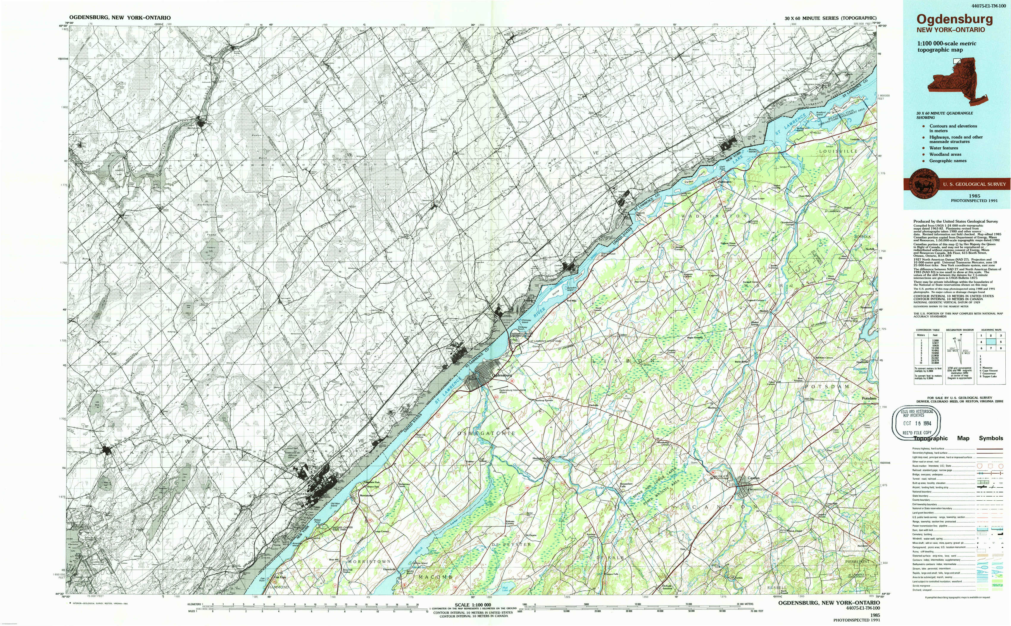
Ogdensburg Topo Map New York
To zoom in, hover over the map of Ogdensburg
USGS Topo Map 44075e1 - 1:100,000 scale
| Topo Map Name: | Ogdensburg |
| USGS Topo Quad ID: | 44075e1 |
| Print Size: | ca. 39" wide x 24" high |
| Southeast Coordinates: | 44.5° N latitude / 75° W longitude |
| Map Center Coordinates: | 44.75° N latitude / 75.5° W longitude |
| U.S. State: | NY |
| Filename: | 44075e1.jpg |
| Download Map JPG Image: | Ogdensburg topo map 1:100,000 scale |
| Map Type: | Topographic |
| Topo Series: | 30´x60´ |
| Map Scale: | 1:100,000 |
| Source of Map Images: | United States Geological Survey (USGS) |
| Alternate Map Versions: |
Ogdensburg NY 1985, updated 1986 Download PDF Buy paper map Ogdensburg NY 1985, updated 1993 Download PDF Buy paper map |
1:100,000 Topos surrounding Ogdensburg
North Of Massena |
||
Ogdensburg |
Massena |
|
Cape Vincent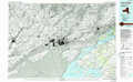 |
Gouverneur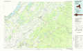 |
Tupper Lake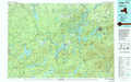 |
> Back to 44074a1 at 1:250,000 scale
> Back to U.S. Topo Maps home
1:24,000 Topo Quads covered by the spatial extent of this 100k map (Ogdensburg)
|
Morrisburg 
|
Louisville 
|
||||||
|
Red Mills 
|
Sparrowhawk Point 
|
Waddington 
|
Chase Mills 
|
||||
|
Ogdensburg West 
|
Ogdensburg East 
|
Lisbon 
|
Morley 
|
West Potsdam 
|
|||
|
Morristown 
|
Edwardsville 
|
Heuvelton 
|
Rensselaer Falls 
|
Canton 
|
Pierrepont 
|