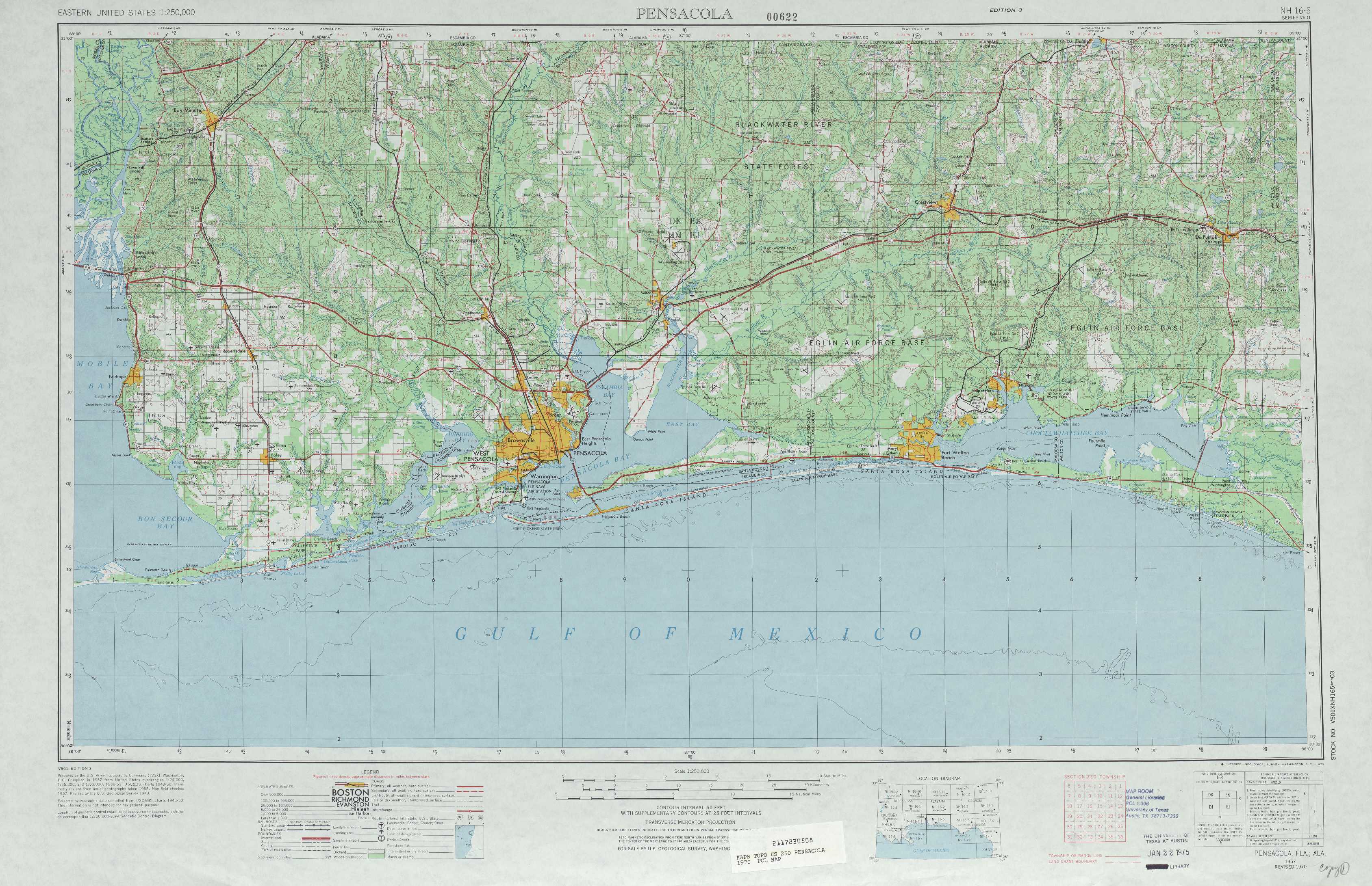
Pensacola Topo Map Florida
To zoom in, hover over the map of Pensacola
USGS Topo Map 30086a1 - 1:250,000 scale
| Topo Map Name: | Pensacola |
| USGS Topo Quad ID: | 30086a1 |
| Print Size: | ca. 32" wide x 22 1/2" high |
| Southeast Coordinates: | 30° N latitude / 86° W longitude |
| Map Center Coordinates: | 30.5° N latitude / 87° W longitude |
| U.S. States: | FL, AL |
| Filename: | 30086a1.jpg |
| Download Map JPG Image: | Pensacola topo map 1:250,000 scale |
| Map Type: | Topographic |
| Topo Series: | 1°x2° |
| Map Scale: | 1:250,000 |
| Source of Map Images: | United States Geological Survey (USGS) |
| Alternate Map Versions: |
Pensacola FL 1957, updated 1967 Download PDF Buy paper map Pensacola FL 1957, updated 1973 Download PDF Buy paper map Pensacola FL 1957, updated 1979 Download PDF Buy paper map Pensacola FL 1960, updated 1960 Download PDF Buy paper map |
1:250,000 Topos surrounding Pensacola
Hattiesburg MS, AL, LA |
Andalusia AL |
Dothan GA, AL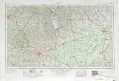 |
Mobile MS, LA, AL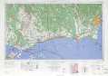 |
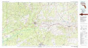
Pensacola FL, AL |
Tallahassee FL, GA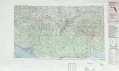 |
Breton Sound LA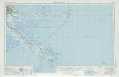 |
Appalachicola FL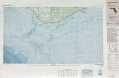 |
> Back to U.S. Topo Maps home
1:100,000 Topo Maps covered by the spatial extent of this 250k map (Pensacola)
Bay Minette AL, FL |
Crestview FL, AL |
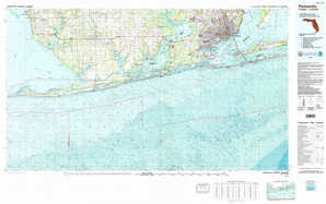
Pensacola FL, AL |
Fort Walton Beach FL |