Andytown Topo Map Florida
To zoom in, hover over the map of Andytown
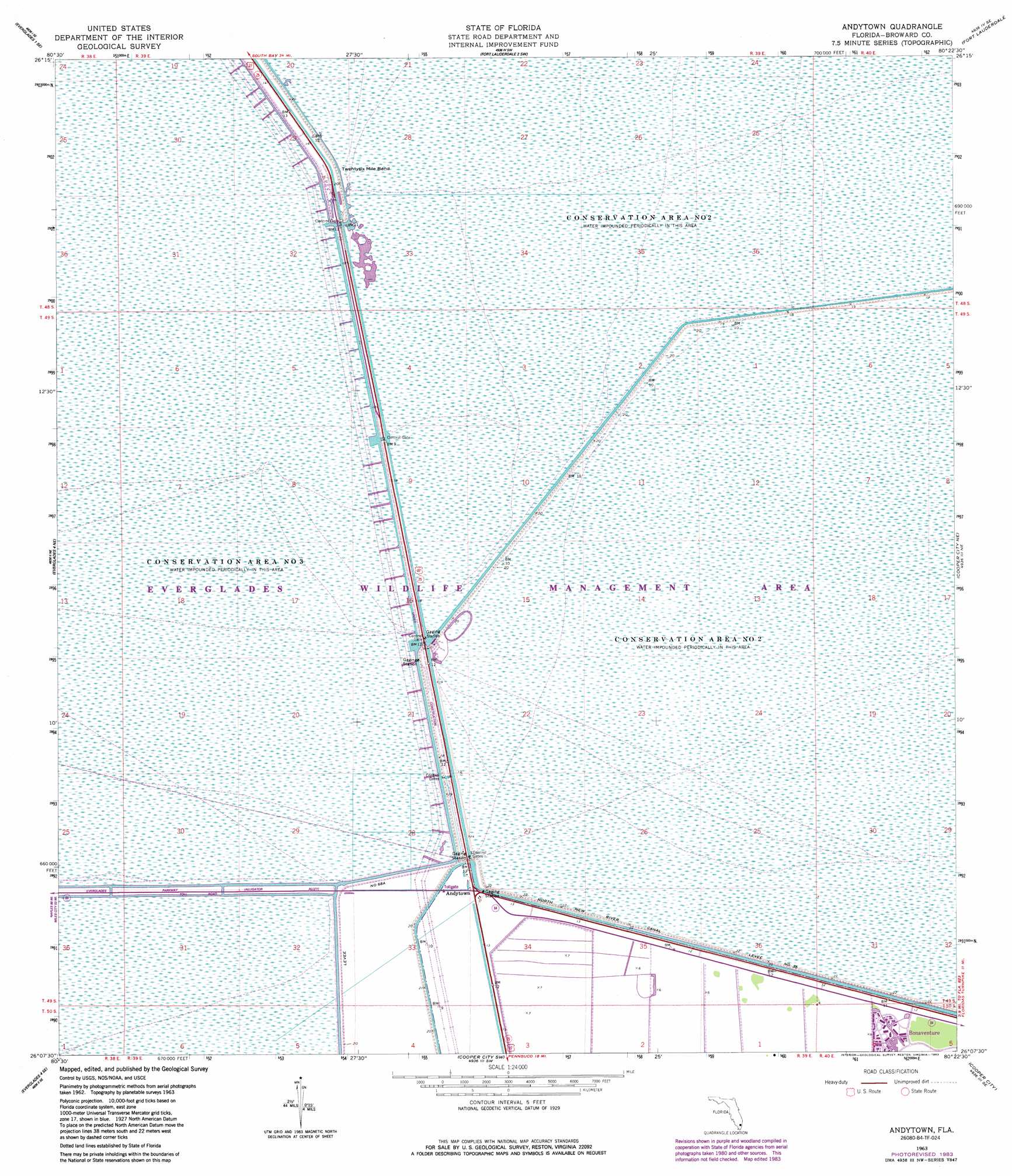
USGS Topo Quad 26080b4 - 1:24,000 scale
| Topo Map Name: | Andytown |
| USGS Topo Quad ID: | 26080b4 |
| Print Size: | ca. 21 1/4" wide x 27" high |
| Southeast Coordinates: | 26.125° N latitude / 80.375° W longitude |
| Map Center Coordinates: | 26.1875° N latitude / 80.4375° W longitude |
| U.S. State: | FL |
| Filename: | O26080B4.jpg |
| Download Map JPG Image: | Andytown topo map 1:24,000 scale |
| Map Type: | Topographic |
| Topo Series: | 7.5´ |
| Map Scale: | 1:24,000 |
| Source of Map Images: | United States Geological Survey (USGS) |
| Alternate Map Versions: |
Andytown FL 1963, updated 1964 Download PDF Buy paper map Andytown FL 1963, updated 1970 Download PDF Buy paper map Andytown FL 1963, updated 1983 Download PDF Buy paper map Andytown FL 2012 Download PDF Buy paper map Andytown FL 2015 Download PDF Buy paper map |
1:24,000 Topo Quads surrounding Andytown
Everglades 1 Nw |
Everglades 1 Ne |
Fort Lauderdale 2 Nw |
Fort Lauderdale 2 Ne |
University Park |
Everglades 1 Sw |
Everglades 1 Se |
Fort Lauderdale 2 Sw |
Fort Lauderdale 2 Se |
West Dixie Bend |
Everglades 4 Nw |
Everglades 4 Ne |
Andytown |
Cooper City Ne |
Fort Lauderdale North |
Everglades 4 Sw |
Everglades 4 Se |
Cooper City Sw |
Cooper City |
Fort Lauderdale South |
Custard Apple Hammock |
West Of Pennsuco |
Pennsuco |
Opa-Locka |
North Miami |
> Back to 26080a1 at 1:100,000 scale
> Back to 26080a1 at 1:250,000 scale
> Back to U.S. Topo Maps home
Andytown topo map: Gazetteer
Andytown: Bends
Twenty-Mile Bend elevation 6m 19′Twentysix Mile Bend elevation 4m 13′
Andytown: Levees
Levee Number 35 elevation 1m 3′Andytown: Populated Places
Andytown elevation 3m 9′Andytown digital topo map on disk
Buy this Andytown topo map showing relief, roads, GPS coordinates and other geographical features, as a high-resolution digital map file on DVD: