Loxahatchee Se Topo Map Florida
To zoom in, hover over the map of Loxahatchee Se
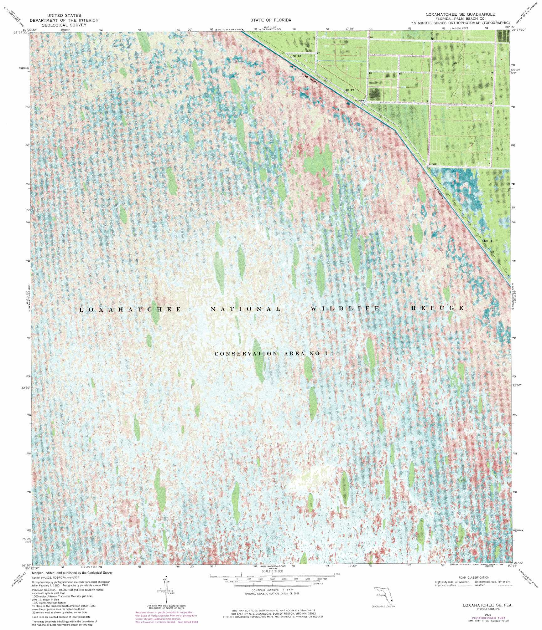
USGS Topo Quad 26080e3 - 1:24,000 scale
| Topo Map Name: | Loxahatchee Se |
| USGS Topo Quad ID: | 26080e3 |
| Print Size: | ca. 21 1/4" wide x 27" high |
| Southeast Coordinates: | 26.5° N latitude / 80.25° W longitude |
| Map Center Coordinates: | 26.5625° N latitude / 80.3125° W longitude |
| U.S. State: | FL |
| Filename: | P26080E3.jpg |
| Download Map JPG Image: | Loxahatchee Se topo map 1:24,000 scale |
| Map Type: | Orthophoto |
| Topo Series: | 7.5´ |
| Map Scale: | 1:24,000 |
| Source of Map Images: | United States Geological Survey (USGS) |
| Alternate Map Versions: |
Loxahatchee SE FL 1970, updated 1976 Download PDF Buy paper map Loxahatchee SE FL 1970, updated 1984 Download PDF Buy paper map Loxahatchee SE FL 2012 Download PDF Buy paper map Loxahatchee SE FL 2015 Download PDF Buy paper map |
1:24,000 Topo Quads surrounding Loxahatchee Se
Bryant |
Big Mound South |
West of Delta |
Delta |
Riviera Beach |
Sixmile Bend |
Loxahatchee Nw |
Loxahatchee |
Palm Beach Farms |
Palm Beach |
Shawano |
Loxahatchee Sw |
Loxahatchee Se |
Greenacres City |
Lake Worth |
Everglades 1 Ne |
Fort Lauderdale 2 Nw |
Fort Lauderdale 2 Ne |
University Park |
Delray Beach |
Everglades 1 Se |
Fort Lauderdale 2 Sw |
Fort Lauderdale 2 Se |
West Dixie Bend |
Boca Raton |
> Back to 26080e1 at 1:100,000 scale
> Back to 26080a1 at 1:250,000 scale
> Back to U.S. Topo Maps home
Loxahatchee Se digital topo map on disk
Buy this Loxahatchee Se topo map showing relief, roads, GPS coordinates and other geographical features, as a high-resolution digital map file on DVD: