Bay Coquette Topo Map Louisiana
To zoom in, hover over the map of Bay Coquette
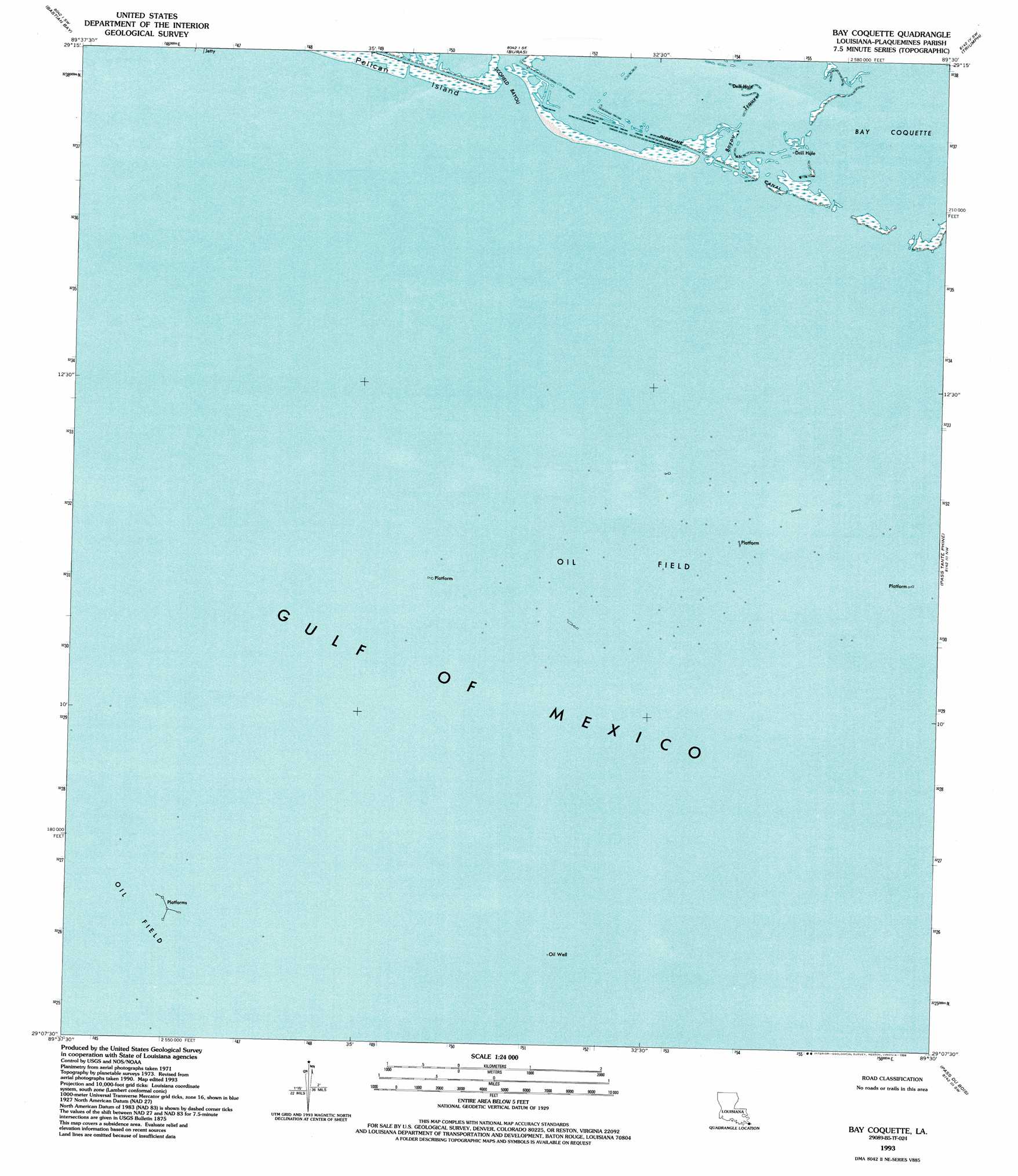
USGS Topo Quad 29089b5 - 1:24,000 scale
| Topo Map Name: | Bay Coquette |
| USGS Topo Quad ID: | 29089b5 |
| Print Size: | ca. 21 1/4" wide x 27" high |
| Southeast Coordinates: | 29.125° N latitude / 89.5° W longitude |
| Map Center Coordinates: | 29.1875° N latitude / 89.5625° W longitude |
| U.S. State: | LA |
| Filename: | o29089b5.jpg |
| Download Map JPG Image: | Bay Coquette topo map 1:24,000 scale |
| Map Type: | Topographic |
| Topo Series: | 7.5´ |
| Map Scale: | 1:24,000 |
| Source of Map Images: | United States Geological Survey (USGS) |
| Alternate Map Versions: |
Bay Coquette LA 1973, updated 1976 Download PDF Buy paper map Bay Coquette LA 1993, updated 1994 Download PDF Buy paper map Bay Coquette LA 2012 Download PDF Buy paper map Bay Coquette LA 2015 Download PDF Buy paper map |
1:24,000 Topo Quads surrounding Bay Coquette
Bay Batiste |
Port Sulphur |
Empire |
Coquille Point |
Taylor Pass |
Bay Ronquille |
Bastian Bay |
Buras |
Triumph |
Venice |
Bay Coquette |
Pass Tante Phine |
Pilottown |
||
Pass Du Bois |
Dixon Bay |
|||
Burrwood Bayou West |
Burrwood Bayou East |
> Back to 29089a1 at 1:100,000 scale
> Back to 29088a1 at 1:250,000 scale
> Back to U.S. Topo Maps home
Bay Coquette topo map: Gazetteer
Bay Coquette: Bays
Bay Coquette elevation 0m 0′Bay Coquette: Guts
Bayou Trouve elevation 0m 0′Bay Coquette digital topo map on disk
Buy this Bay Coquette topo map showing relief, roads, GPS coordinates and other geographical features, as a high-resolution digital map file on DVD:
Gulf Coast (LA, MS, AL, FL) & Southwestern Georgia
Buy digital topo maps: Gulf Coast (LA, MS, AL, FL) & Southwestern Georgia
 & Southwestern Georgia map DVD")