Creole Topo Map Louisiana
To zoom in, hover over the map of Creole
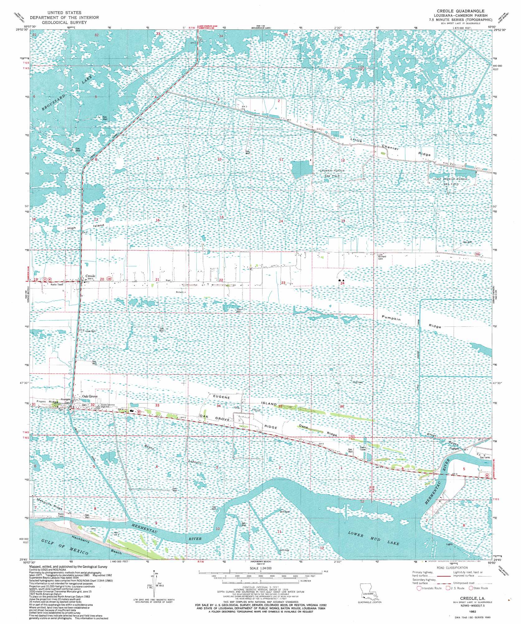
USGS Topo Quad 29093g1 - 1:24,000 scale
| Topo Map Name: | Creole |
| USGS Topo Quad ID: | 29093g1 |
| Print Size: | ca. 21 1/4" wide x 27" high |
| Southeast Coordinates: | 29.75° N latitude / 93° W longitude |
| Map Center Coordinates: | 29.8125° N latitude / 93.0625° W longitude |
| U.S. State: | LA |
| Filename: | o29093g1.jpg |
| Download Map JPG Image: | Creole topo map 1:24,000 scale |
| Map Type: | Topographic |
| Topo Series: | 7.5´ |
| Map Scale: | 1:24,000 |
| Source of Map Images: | United States Geological Survey (USGS) |
| Alternate Map Versions: |
Bay Labauve LA 1935, updated 1958 Download PDF Buy paper map Creole LA 1982 Download PDF Buy paper map Creole LA 1982, updated 1983 Download PDF Buy paper map Creole LA 2012 Download PDF Buy paper map Creole LA 2015 Download PDF Buy paper map |
1:24,000 Topo Quads surrounding Creole
Moss Lake |
Lake Charles Sw |
Lake Charles Se |
Hayes |
Thornwell |
Hackberry |
Sweet Lake |
Boudreaux Lake |
Lake Misere |
Latania Lake |
Cameron |
Grand Bayou |
Creole |
Grand Cheniere |
Catfish Lake |
Hackberry Beach |
Hog Bayou |
Cow Island |
||
> Back to 29093e1 at 1:100,000 scale
> Back to 29092a1 at 1:250,000 scale
> Back to U.S. Topo Maps home
Creole topo map: Gazetteer
Creole: Airports
Air Logistics Heliport elevation 2m 6′Creole: Canals
Little Chenier Canal elevation 1m 3′Creole: Channels
Mermentau River Navigational Channel elevation 0m 0′Creole: Islands
Eugene Island elevation 0m 0′High Island elevation 1m 3′
Creole: Populated Places
Creole elevation 0m 0′Oak Grove elevation 1m 3′
Creole: Ridges
Dans Ridge elevation 1m 3′Oak Grove Ridge elevation 1m 3′
Creole: Streams
Mermentau River elevation 2m 6′Creole digital topo map on disk
Buy this Creole topo map showing relief, roads, GPS coordinates and other geographical features, as a high-resolution digital map file on DVD: