Christmas Point Topo Map Texas
To zoom in, hover over the map of Christmas Point
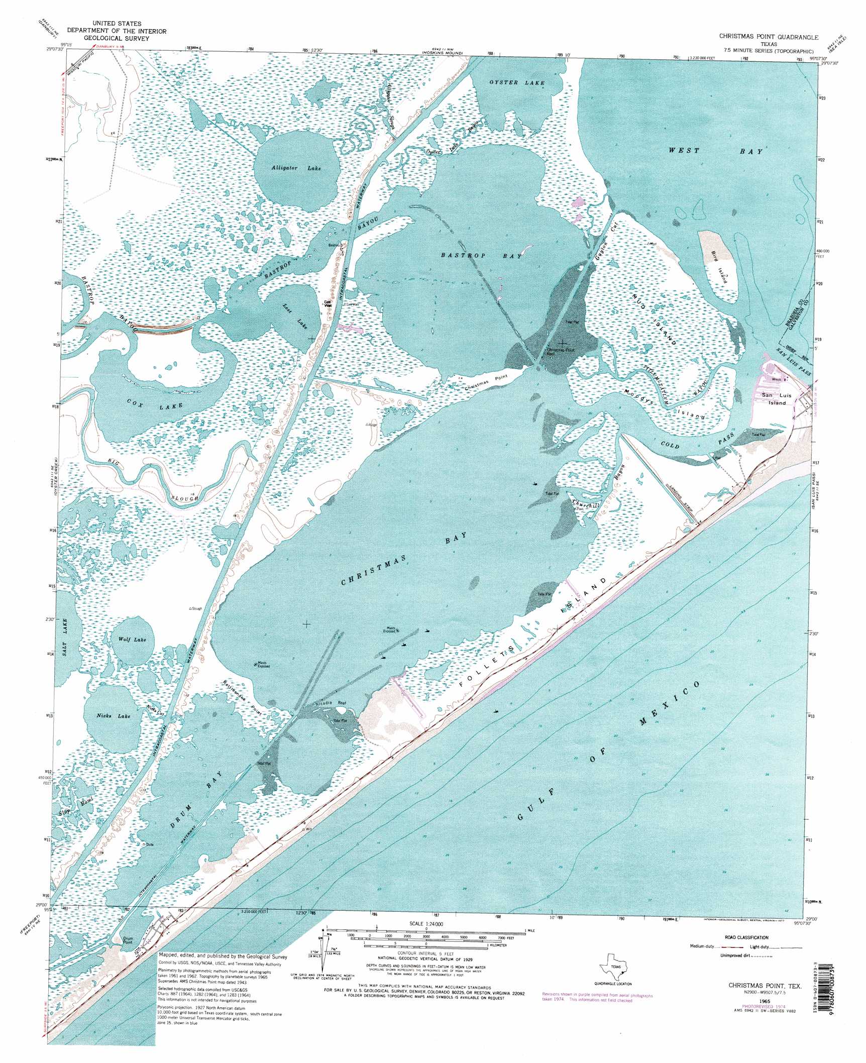
USGS Topo Quad 29095a2 - 1:24,000 scale
| Topo Map Name: | Christmas Point |
| USGS Topo Quad ID: | 29095a2 |
| Print Size: | ca. 21 1/4" wide x 27" high |
| Southeast Coordinates: | 29° N latitude / 95.125° W longitude |
| Map Center Coordinates: | 29.0625° N latitude / 95.1875° W longitude |
| U.S. State: | TX |
| Filename: | o29095a2.jpg |
| Download Map JPG Image: | Christmas Point topo map 1:24,000 scale |
| Map Type: | Topographic |
| Topo Series: | 7.5´ |
| Map Scale: | 1:24,000 |
| Source of Map Images: | United States Geological Survey (USGS) |
| Alternate Map Versions: |
Christmas Point TX 1943, updated 1958 Download PDF Buy paper map Christmas Point TX 1965, updated 1966 Download PDF Buy paper map Christmas Point TX 1965, updated 1977 Download PDF Buy paper map Christmas Point TX 1965, updated 1977 Download PDF Buy paper map Christmas Point TX 2010 Download PDF Buy paper map Christmas Point TX 2013 Download PDF Buy paper map Christmas Point TX 2016 Download PDF Buy paper map |
1:24,000 Topo Quads surrounding Christmas Point
Rosharon |
Liverpool |
Mustang Bayou |
Hitchcock |
Virginia Point |
Angleton |
Danbury |
Hoskins Mound |
Sea Isle |
Lake Como |
Lake Jackson |
Oyster Creek |
Christmas Point |
San Luis Pass |
|
Jones Creek |
Freeport |
|||
Cedar Lakes East |
> Back to 29095a1 at 1:100,000 scale
> Back to 29094a1 at 1:250,000 scale
> Back to U.S. Topo Maps home
Christmas Point topo map: Gazetteer
Christmas Point: Bars
Arcadia Reef elevation 1m 3′Christmas Point Reef elevation 1m 3′
Christmas Point: Bays
Bastrop Bay elevation 0m 0′Christmas Bay elevation 0m 0′
Drum Bay elevation 0m 0′
Christmas Point: Capes
Christmas Point elevation 2m 6′Rattlesnake Point elevation 1m 3′
Christmas Point: Channels
Cedar Cut elevation 1m 3′Churchill Bayou elevation 0m 0′
Cold Pass elevation 0m 0′
Nicks Cut elevation 2m 6′
Titlum-Tatlum Bayou elevation 0m 0′
Christmas Point: Guts
Alligator Slough elevation 1m 3′Mud Cut elevation 0m 0′
Oyster Lake Bayou elevation 2m 6′
Christmas Point: Islands
Bird Island elevation 2m 6′Follets Island elevation 2m 6′
Moodys Island elevation 2m 6′
Mud Island elevation 2m 6′
San Luis Island elevation 2m 6′
Christmas Point: Lakes
Alligator Lake elevation 1m 3′Cox Lake elevation 1m 3′
Lost Lake elevation 1m 3′
Nicks Lake elevation 1m 3′
Oyster Lake elevation 0m 0′
Wolf Lake elevation 1m 3′
Christmas Point: Populated Places
Port Morris elevation 3m 9′Christmas Point: Streams
Bastrop Bayou elevation 0m 0′Big Slough elevation 2m 6′
Christmas Point digital topo map on disk
Buy this Christmas Point topo map showing relief, roads, GPS coordinates and other geographical features, as a high-resolution digital map file on DVD: