Lowake Topo Map Texas
To zoom in, hover over the map of Lowake
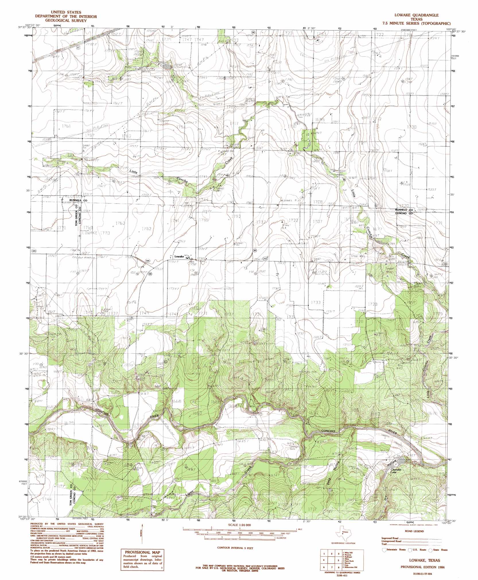
USGS Topo Quad 31100e1 - 1:24,000 scale
| Topo Map Name: | Lowake |
| USGS Topo Quad ID: | 31100e1 |
| Print Size: | ca. 21 1/4" wide x 27" high |
| Southeast Coordinates: | 31.5° N latitude / 100° W longitude |
| Map Center Coordinates: | 31.5625° N latitude / 100.0625° W longitude |
| U.S. State: | TX |
| Filename: | o31100e1.jpg |
| Download Map JPG Image: | Lowake topo map 1:24,000 scale |
| Map Type: | Topographic |
| Topo Series: | 7.5´ |
| Map Scale: | 1:24,000 |
| Source of Map Images: | United States Geological Survey (USGS) |
| Alternate Map Versions: |
Lowake TX 1984, updated 1984 Download PDF Buy paper map Lowake TX 2010 Download PDF Buy paper map Lowake TX 2012 Download PDF Buy paper map Lowake TX 2016 Download PDF Buy paper map |
1:24,000 Topo Quads surrounding Lowake
Shawville |
Maverick |
Herring Ranch |
Hatchel |
Benoit |
Tennyson |
Miles Nw |
Rowena |
Ballinger |
Buffalo Bluff |
Harriet |
Miles |
Lowake |
Paint Rock |
Concho |
Veribest |
Mereta |
Eola |
Millersview Nw |
Millersview |
Wall |
Vancourt |
Vick |
Millersview Sw |
Millersview Se |
> Back to 31100e1 at 1:100,000 scale
> Back to 31100a1 at 1:250,000 scale
> Back to U.S. Topo Maps home
Lowake topo map: Gazetteer
Lowake: Dams
Chandler Dam elevation 505m 1656′Lowake: Populated Places
Lowake elevation 534m 1751′Lowake: Reservoirs
Chandler Lake elevation 498m 1633′Chandler Lake elevation 505m 1656′
Lowake: Streams
Lipan Creek elevation 497m 1630′Lowake: Valleys
Deep Hollow elevation 523m 1715′Dry Hollow elevation 500m 1640′
Lowake digital topo map on disk
Buy this Lowake topo map showing relief, roads, GPS coordinates and other geographical features, as a high-resolution digital map file on DVD: