Roll Nw Topo Map Oklahoma
To zoom in, hover over the map of Roll Nw
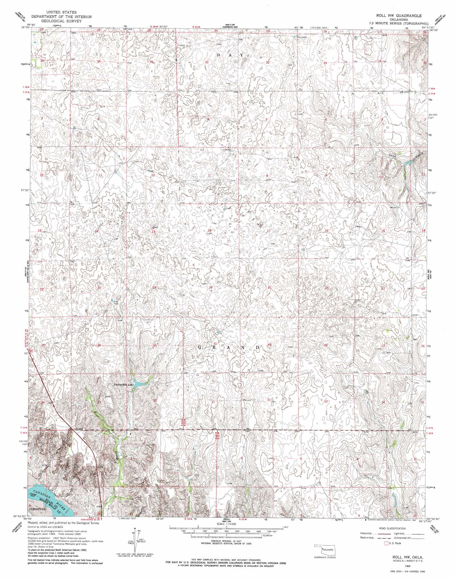
USGS Topo Quad 35099h6 - 1:24,000 scale
| Topo Map Name: | Roll Nw |
| USGS Topo Quad ID: | 35099h6 |
| Print Size: | ca. 21 1/4" wide x 27" high |
| Southeast Coordinates: | 35.875° N latitude / 99.625° W longitude |
| Map Center Coordinates: | 35.9375° N latitude / 99.6875° W longitude |
| U.S. State: | OK |
| Filename: | o35099h6.jpg |
| Download Map JPG Image: | Roll Nw topo map 1:24,000 scale |
| Map Type: | Topographic |
| Topo Series: | 7.5´ |
| Map Scale: | 1:24,000 |
| Source of Map Images: | United States Geological Survey (USGS) |
| Alternate Map Versions: |
Roll NW OK 1965, updated 1967 Download PDF Buy paper map Roll NW OK 1965, updated 1984 Download PDF Buy paper map Roll NW OK 2010 Download PDF Buy paper map Roll NW OK 2012 Download PDF Buy paper map Roll NW OK 2016 Download PDF Buy paper map |
1:24,000 Topo Quads surrounding Roll Nw
Goodwin |
Arnett |
Harmon Nw |
Harmon |
Vici Nw |
Arnett Sw |
Arnett Se |
Harmon Sw |
Harmon Se |
Vici Sw |
Antelope Hills |
Antelope Hills Ne |
Roll Nw |
Roll Ne |
Flying Creek |
Durham |
Crawford |
Roll |
Roll Se |
Leedey Sw |
Reydon |
Mackie |
Cheyenne Nw |
Strong City |
Hammon |
> Back to 35099e1 at 1:100,000 scale
> Back to 35098a1 at 1:250,000 scale
> Back to U.S. Topo Maps home
Roll Nw topo map: Gazetteer
Roll Nw: Dams
Bradshaw Number 1 Dam elevation 685m 2247′Bradshaw Number 2 Dam elevation 656m 2152′
Roll Nw: Reservoirs
Bradshaw Number 1 Reservoir elevation 685m 2247′Bradshaw Number 2 Reservoir elevation 656m 2152′
Packsaddle Lake elevation 656m 2152′
Roll Nw digital topo map on disk
Buy this Roll Nw topo map showing relief, roads, GPS coordinates and other geographical features, as a high-resolution digital map file on DVD: