Specter Range Nw Topo Map Nevada
To zoom in, hover over the map of Specter Range Nw
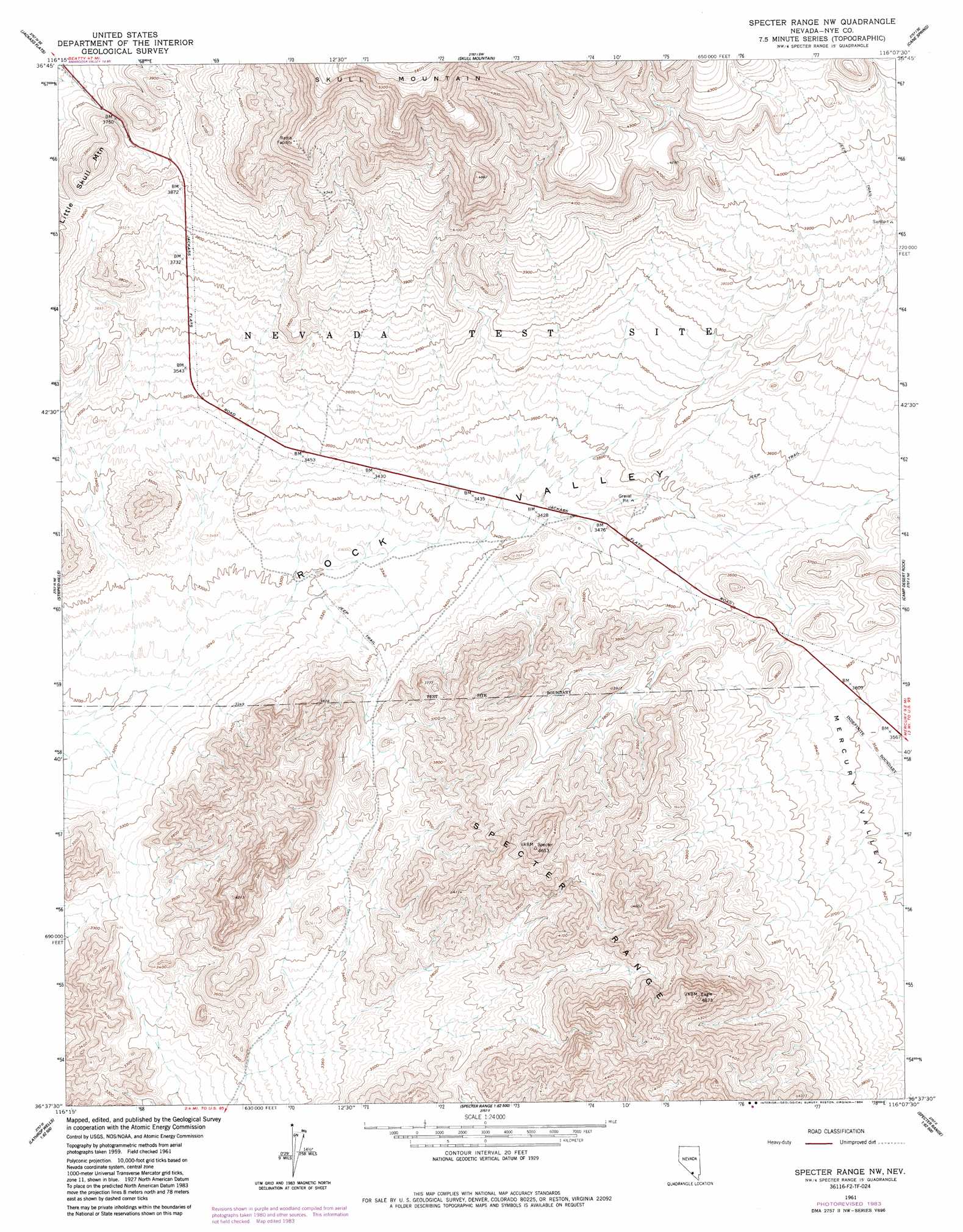
USGS Topo Quad 36116f2 - 1:24,000 scale
| Topo Map Name: | Specter Range Nw |
| USGS Topo Quad ID: | 36116f2 |
| Print Size: | ca. 21 1/4" wide x 27" high |
| Southeast Coordinates: | 36.625° N latitude / 116.125° W longitude |
| Map Center Coordinates: | 36.6875° N latitude / 116.1875° W longitude |
| U.S. State: | NV |
| Filename: | o36116f2.jpg |
| Download Map JPG Image: | Specter Range Nw topo map 1:24,000 scale |
| Map Type: | Topographic |
| Topo Series: | 7.5´ |
| Map Scale: | 1:24,000 |
| Source of Map Images: | United States Geological Survey (USGS) |
| Alternate Map Versions: |
Specter Range NW NV 1961, updated 1962 Download PDF Buy paper map Specter Range NW NV 1961, updated 1984 Download PDF Buy paper map |
1:24,000 Topo Quads surrounding Specter Range Nw
Topopah Springs Nw |
Topopah Spring |
Mine Mountain |
Yucca Lake |
Plutonium Valley |
Busted Butte |
Jackass Flats |
Skull Mountain |
Cane Spring |
Frenchman Lake |
Lathrop Wells |
Striped Hills |
Specter Range Nw |
Camp Desert Rock |
Mercury |
South Of Amargosa Valley |
Skeleton Hills |
Specter Range Sw |
Point Of Rocks |
Niavi Wash |
Franklin Well |
Devils Hole |
Amargosa Flat |
Mount Schader |
Mount Stirling |
> Back to 36116e1 at 1:100,000 scale
> Back to 36116a1 at 1:250,000 scale
> Back to U.S. Topo Maps home
Specter Range Nw digital topo map on disk
Buy this Specter Range Nw topo map showing relief, roads, GPS coordinates and other geographical features, as a high-resolution digital map file on DVD:
Southern Sierra Nevada, California & Southern Nevada
Buy digital topo maps: Southern Sierra Nevada, California & Southern Nevada