Paiute Ridge Topo Map Nevada
To zoom in, hover over the map of Paiute Ridge
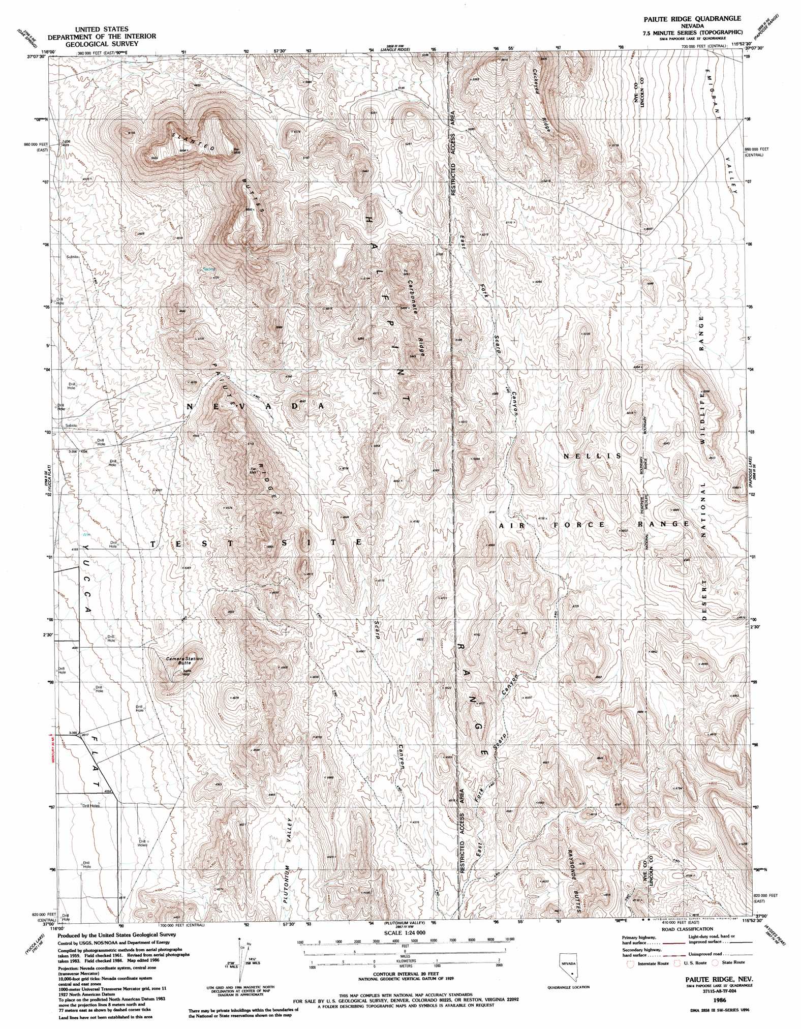
USGS Topo Quad 37115a8 - 1:24,000 scale
| Topo Map Name: | Paiute Ridge |
| USGS Topo Quad ID: | 37115a8 |
| Print Size: | ca. 21 1/4" wide x 27" high |
| Southeast Coordinates: | 37° N latitude / 115.875° W longitude |
| Map Center Coordinates: | 37.0625° N latitude / 115.9375° W longitude |
| U.S. State: | NV |
| Filename: | o37115a8.jpg |
| Download Map JPG Image: | Paiute Ridge topo map 1:24,000 scale |
| Map Type: | Topographic |
| Topo Series: | 7.5´ |
| Map Scale: | 1:24,000 |
| Source of Map Images: | United States Geological Survey (USGS) |
| Alternate Map Versions: |
Paiute Ridge NV 1961, updated 1962 Download PDF Buy paper map Paiute Ridge NV 1961, updated 1980 Download PDF Buy paper map Paiute Ridge NV 1961, updated 1984 Download PDF Buy paper map Paiute Ridge NV 1986, updated 1987 Download PDF Buy paper map |
1:24,000 Topo Quads surrounding Paiute Ridge
Quartet Dome |
Oak Spring Butte |
Groom Mine Sw |
Groom Mine |
Groom Range Sw |
Rainier Mesa |
Oak Spring |
Jangle Ridge |
Papoose Range |
Fallout Hills Nw |
Tippipah Spring |
Yucca Flat |
Paiute Ridge |
Papoose Lake |
Fallout Hills |
Mine Mountain |
Yucca Lake |
Plutonium Valley |
Aysees Peak |
Quartz Peak Nw |
Skull Mountain |
Cane Spring |
Frenchman Lake |
Frenchman Lake Se |
Quartz Peak Sw |
> Back to 37115a1 at 1:100,000 scale
> Back to 37114a1 at 1:250,000 scale
> Back to U.S. Topo Maps home
Paiute Ridge topo map: Gazetteer
Paiute Ridge: Ridges
Carbonate Ridge elevation 1597m 5239′Paiute Ridge elevation 1521m 4990′
Paiute Ridge: Summits
Camera Station Butte elevation 1392m 4566′Slanted Buttes elevation 1632m 5354′
Paiute Ridge: Wells
Well E elevation 1272m 4173′Paiute Ridge digital topo map on disk
Buy this Paiute Ridge topo map showing relief, roads, GPS coordinates and other geographical features, as a high-resolution digital map file on DVD: