Scrugham Peak Topo Map Nevada
To zoom in, hover over the map of Scrugham Peak
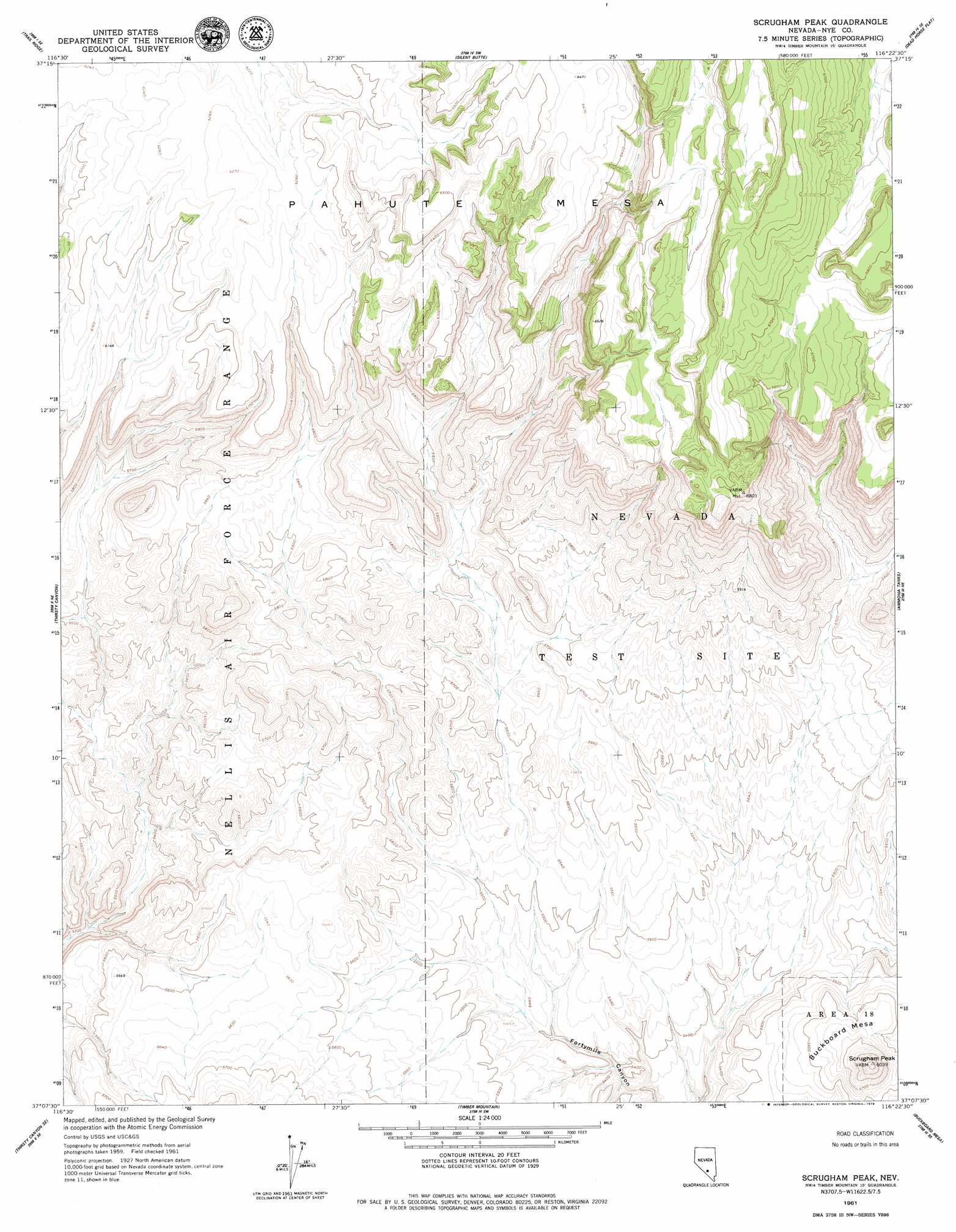
USGS Topo Quad 37116b4 - 1:24,000 scale
| Topo Map Name: | Scrugham Peak |
| USGS Topo Quad ID: | 37116b4 |
| Print Size: | ca. 21 1/4" wide x 27" high |
| Southeast Coordinates: | 37.125° N latitude / 116.375° W longitude |
| Map Center Coordinates: | 37.1875° N latitude / 116.4375° W longitude |
| U.S. State: | NV |
| Filename: | o37116b4.jpg |
| Download Map JPG Image: | Scrugham Peak topo map 1:24,000 scale |
| Map Type: | Topographic |
| Topo Series: | 7.5´ |
| Map Scale: | 1:24,000 |
| Source of Map Images: | United States Geological Survey (USGS) |
| Alternate Map Versions: |
Scrugham Peak NV 1961, updated 1962 Download PDF Buy paper map |
1:24,000 Topo Quads surrounding Scrugham Peak
Mount Helen |
Gold Flat West |
Gold Flat East |
Apache Tear Canyon |
Sundown Reservoir |
Black Mountain |
Trail Ridge |
Silent Butte |
Dead Horse Flat |
Quartet Dome |
Thirsty Canyon Nw |
Thirsty Canyon |
Scrugham Peak |
Ammonia Tanks |
Rainier Mesa |
Thirsty Canyon Sw |
Thirsty Canyon Se |
Timber Mountain |
Buckboard Mesa |
Tippipah Spring |
Beatty Mountain |
East Of Beatty Mountain |
Topopah Springs Nw |
Topopah Spring |
Mine Mountain |
> Back to 37116a1 at 1:100,000 scale
> Back to 37116a1 at 1:250,000 scale
> Back to U.S. Topo Maps home
Scrugham Peak topo map: Gazetteer
Scrugham Peak: Summits
Buckboard Mesa elevation 1835m 6020′Scrugham Peak elevation 1835m 6020′
Scrugham Peak digital topo map on disk
Buy this Scrugham Peak topo map showing relief, roads, GPS coordinates and other geographical features, as a high-resolution digital map file on DVD: