Black Mountain Topo Map Nevada
To zoom in, hover over the map of Black Mountain
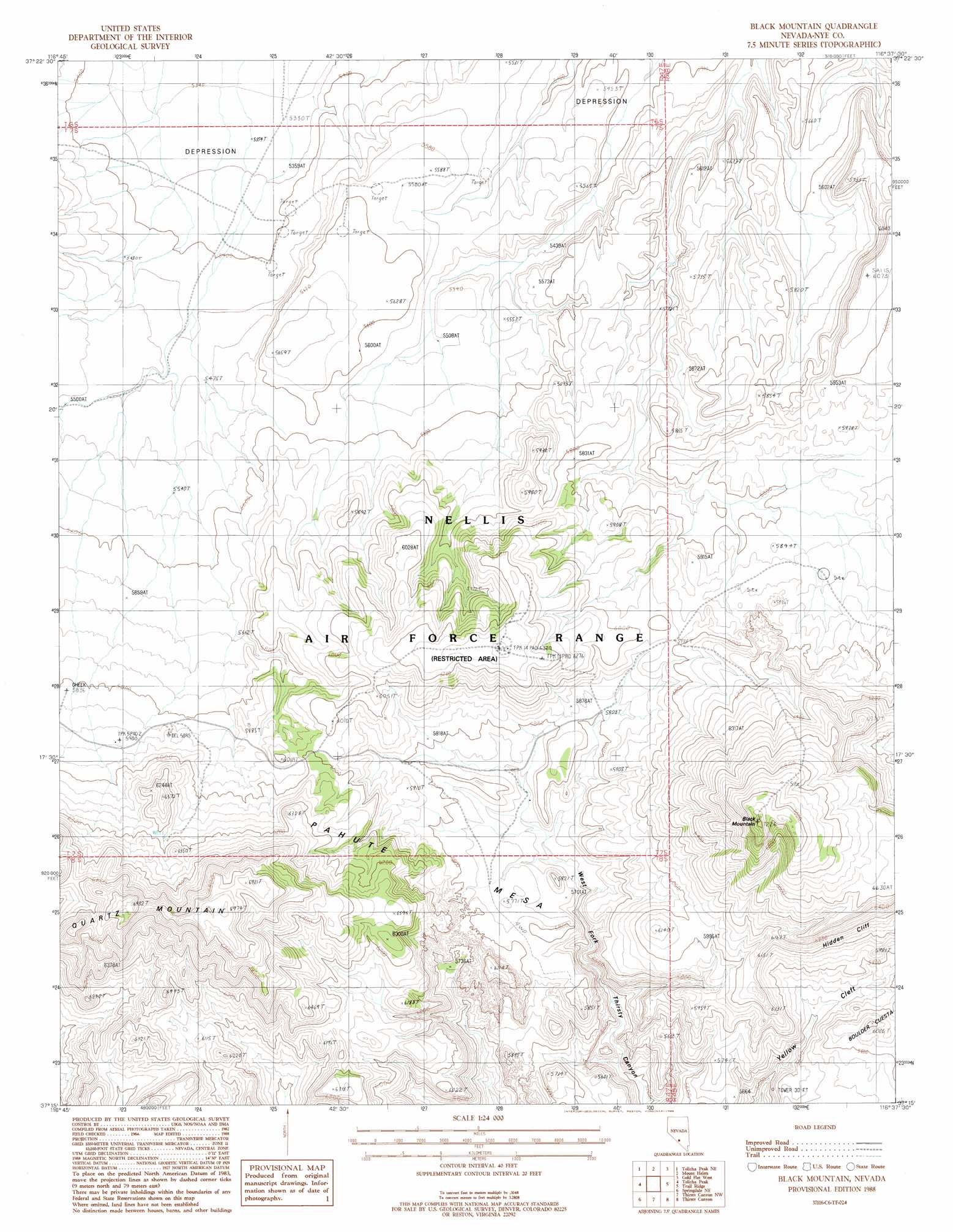
USGS Topo Quad 37116c6 - 1:24,000 scale
| Topo Map Name: | Black Mountain |
| USGS Topo Quad ID: | 37116c6 |
| Print Size: | ca. 21 1/4" wide x 27" high |
| Southeast Coordinates: | 37.25° N latitude / 116.625° W longitude |
| Map Center Coordinates: | 37.3125° N latitude / 116.6875° W longitude |
| U.S. State: | NV |
| Filename: | o37116c6.jpg |
| Download Map JPG Image: | Black Mountain topo map 1:24,000 scale |
| Map Type: | Topographic |
| Topo Series: | 7.5´ |
| Map Scale: | 1:24,000 |
| Source of Map Images: | United States Geological Survey (USGS) |
| Alternate Map Versions: |
Black Mountain NV 1988, updated 1988 Download PDF Buy paper map |
1:24,000 Topo Quads surrounding Black Mountain
Pack Rat Canyon |
Civet Cat Cave |
Trappman Hills |
Triangle Mountain |
West Of Quartzite Mountain |
Tolicha Peak Nw |
Tolicha Peak Ne |
Mount Helen |
Gold Flat West |
Gold Flat East |
Tolicha Peak Sw |
Tolicha Peak |
Black Mountain |
Trail Ridge |
Silent Butte |
Springdale Nw |
Springdale Ne |
Thirsty Canyon Nw |
Thirsty Canyon |
Scrugham Peak |
Springdale Sw |
Springdale |
Thirsty Canyon Sw |
Thirsty Canyon Se |
Timber Mountain |
> Back to 37116a1 at 1:100,000 scale
> Back to 37116a1 at 1:250,000 scale
> Back to U.S. Topo Maps home
Black Mountain topo map: Gazetteer
Black Mountain: Mines
Quartz Mountain Mine elevation 1813m 5948′Black Mountain: Populated Places
Quartz Mountain (historical) elevation 1791m 5875′Black Mountain: Springs
Pillar Spring elevation 1721m 5646′Black Mountain: Summits
Black Mountain elevation 2151m 7057′Pahute Mesa elevation 1783m 5849′
Quartz Mountain elevation 2111m 6925′
Black Mountain digital topo map on disk
Buy this Black Mountain topo map showing relief, roads, GPS coordinates and other geographical features, as a high-resolution digital map file on DVD: