Reeds Ranch Topo Map Nevada
To zoom in, hover over the map of Reeds Ranch
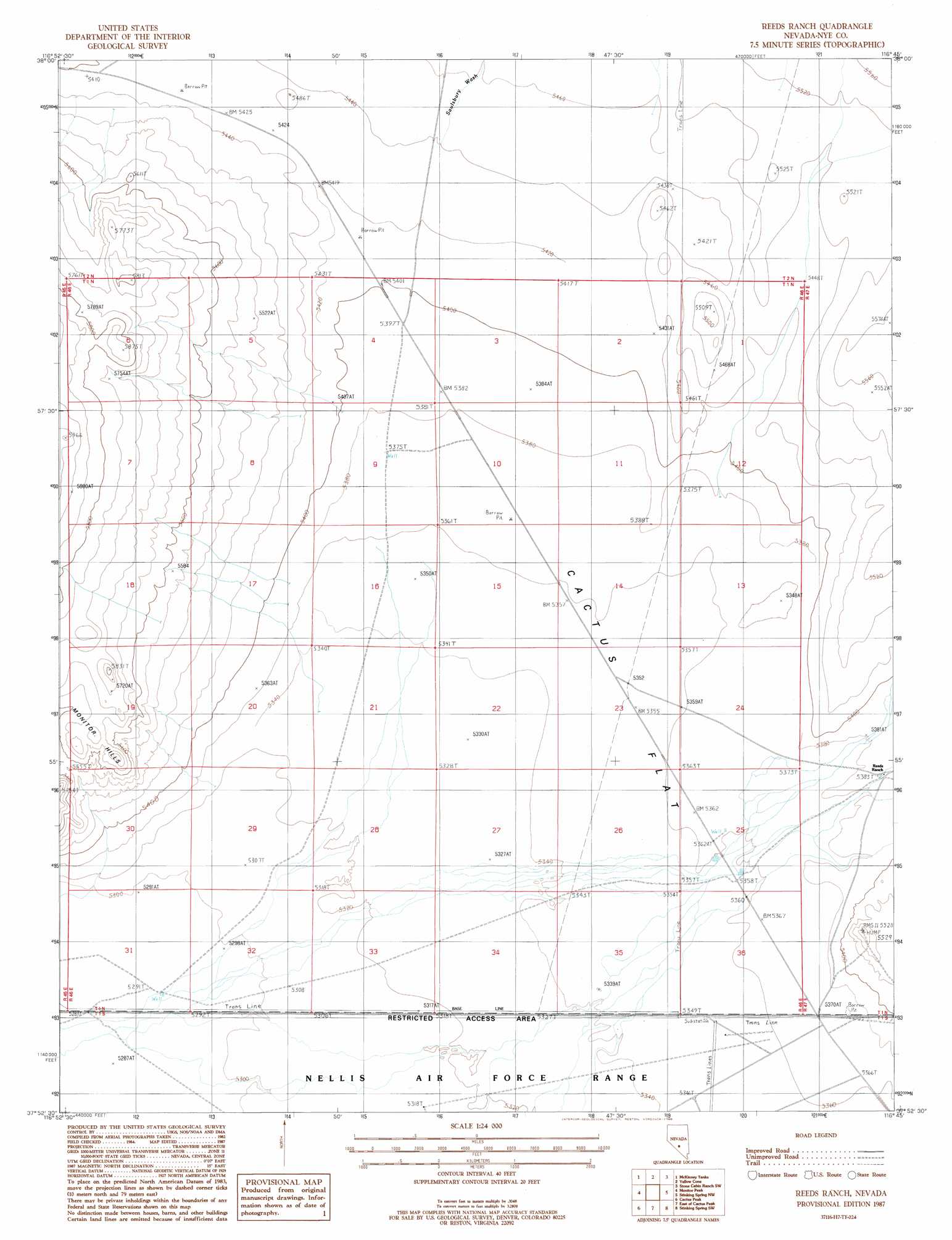
USGS Topo Quad 37116h7 - 1:24,000 scale
| Topo Map Name: | Reeds Ranch |
| USGS Topo Quad ID: | 37116h7 |
| Print Size: | ca. 21 1/4" wide x 27" high |
| Southeast Coordinates: | 37.875° N latitude / 116.75° W longitude |
| Map Center Coordinates: | 37.9375° N latitude / 116.8125° W longitude |
| U.S. State: | NV |
| Filename: | o37116h7.jpg |
| Download Map JPG Image: | Reeds Ranch topo map 1:24,000 scale |
| Map Type: | Topographic |
| Topo Series: | 7.5´ |
| Map Scale: | 1:24,000 |
| Source of Map Images: | United States Geological Survey (USGS) |
| Alternate Map Versions: |
Reeds Ranch NV 1987, updated 1988 Download PDF Buy paper map |
1:24,000 Topo Quads surrounding Reeds Ranch
Thumder Mountain |
Hannapah |
Mud Spring |
Stone Cabin Ranch |
Stone Cabin Ranch Ne |
East Of Tonopah |
Mckinney Tanks |
Yellow Cone |
Stone Cabin Ranch Sw |
Stone Cabin Ranch Se |
Mud Lake North |
Monitor Peak |
Reeds Ranch |
Stinking Spring Nw |
Stinking Spring |
Mud Lake South |
Cactus Peak |
East Of Cactus Peak |
Stinking Spring Sw |
Breen Creek |
East Of Goldfield |
White Patch Draw |
Cactus Spring |
Roller Coaster Knob |
Mellan |
> Back to 37116e1 at 1:100,000 scale
> Back to 37116a1 at 1:250,000 scale
> Back to U.S. Topo Maps home
Reeds Ranch topo map: Gazetteer
Reeds Ranch: Streams
Saulsbury Wash elevation 1619m 5311′Reeds Ranch: Summits
Mount Diablo elevation 1687m 5534′Reeds Ranch: Valleys
Ralston Valley elevation 1613m 5291′Reeds Ranch: Wells
Number One Well elevation 1641m 5383′Number Three Well elevation 1639m 5377′
Number Two Well elevation 1614m 5295′
Reeds Ranch digital topo map on disk
Buy this Reeds Ranch topo map showing relief, roads, GPS coordinates and other geographical features, as a high-resolution digital map file on DVD: