Mount Jackson Topo Map Nevada
To zoom in, hover over the map of Mount Jackson
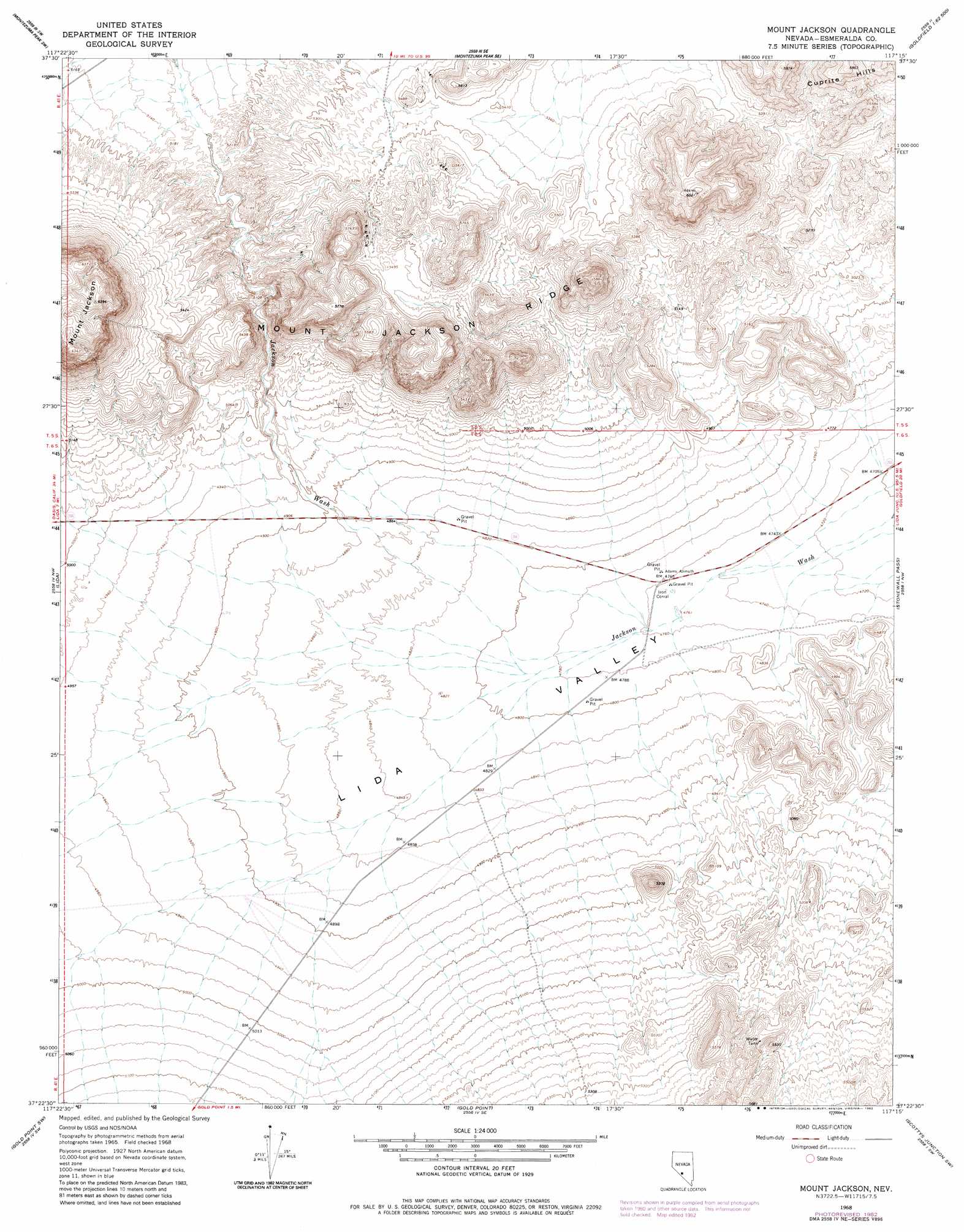
USGS Topo Quad 37117d3 - 1:24,000 scale
| Topo Map Name: | Mount Jackson |
| USGS Topo Quad ID: | 37117d3 |
| Print Size: | ca. 21 1/4" wide x 27" high |
| Southeast Coordinates: | 37.375° N latitude / 117.25° W longitude |
| Map Center Coordinates: | 37.4375° N latitude / 117.3125° W longitude |
| U.S. State: | NV |
| Filename: | o37117d3.jpg |
| Download Map JPG Image: | Mount Jackson topo map 1:24,000 scale |
| Map Type: | Topographic |
| Topo Series: | 7.5´ |
| Map Scale: | 1:24,000 |
| Source of Map Images: | United States Geological Survey (USGS) |
| Alternate Map Versions: |
Mount Jackson NV 1968, updated 1970 Download PDF Buy paper map Mount Jackson NV 1968, updated 1982 Download PDF Buy paper map Mount Jackson NV 2012 Download PDF Buy paper map Mount Jackson NV 2014 Download PDF Buy paper map |
1:24,000 Topo Quads surrounding Mount Jackson
Alcatraz Island |
Split Mountain |
Montezuma Peak |
Goldfield |
East Of Goldfield |
Lida Wash |
Montezuma Peak Sw |
Montezuma Peak Se |
Ralston |
Stonewall Spring |
Magruder Mountain |
Lida |
Mount Jackson |
Stonewall Pass |
Scottys Junction Ne |
Tule Canyon |
Gold Point Sw |
Gold Point |
Scottys Junction Sw |
Scottys Junction |
Sand Spring |
West Of Gold Mountain |
Gold Mountain |
Bonnie Claire Lake |
Bonnie Claire |
> Back to 37117a1 at 1:100,000 scale
> Back to 37116a1 at 1:250,000 scale
> Back to U.S. Topo Maps home
Mount Jackson digital topo map on disk
Buy this Mount Jackson topo map showing relief, roads, GPS coordinates and other geographical features, as a high-resolution digital map file on DVD: