University Lake Nw Topo Map Nebraska
To zoom in, hover over the map of University Lake Nw
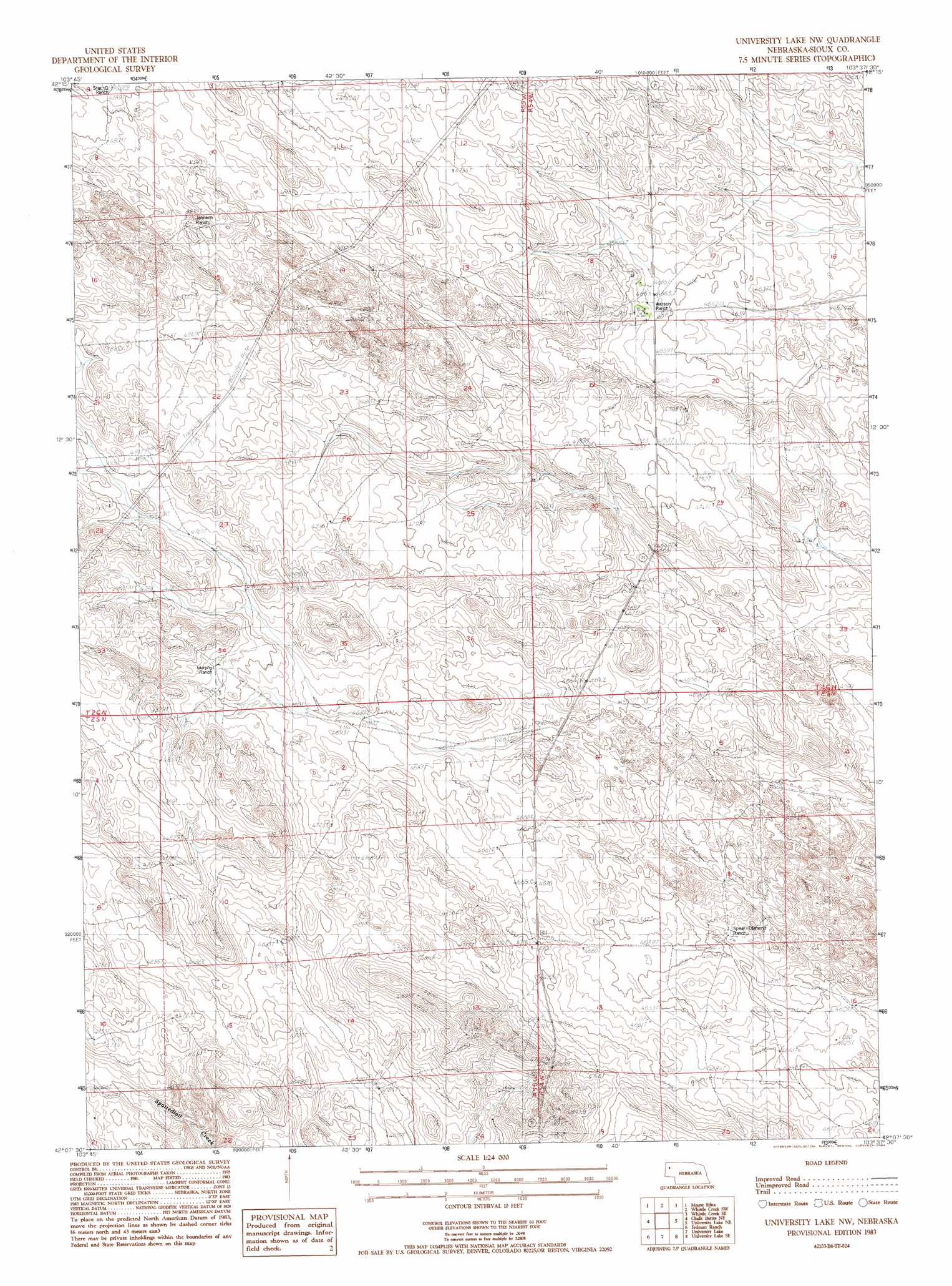
USGS Topo Quad 42103b6 - 1:24,000 scale
| Topo Map Name: | University Lake Nw |
| USGS Topo Quad ID: | 42103b6 |
| Print Size: | ca. 21 1/4" wide x 27" high |
| Southeast Coordinates: | 42.125° N latitude / 103.625° W longitude |
| Map Center Coordinates: | 42.1875° N latitude / 103.6875° W longitude |
| U.S. State: | NE |
| Filename: | O42103B6.jpg |
| Download Map JPG Image: | University Lake Nw topo map 1:24,000 scale |
| Map Type: | Topographic |
| Topo Series: | 7.5´ |
| Map Scale: | 1:24,000 |
| Source of Map Images: | United States Geological Survey (USGS) |
| Alternate Map Versions: |
University Lake NW NE 1983, updated 1984 Download PDF Buy paper map University Lake NW NE 2011 Download PDF Buy paper map University Lake NW NE 2014 Download PDF Buy paper map |
1:24,000 Topo Quads surrounding University Lake Nw
Agate Nw |
Agate |
Whistle Creek Nw |
Whistle Creek Ne |
Marsland Nw |
Agate Sw |
Mount Edna |
Whistle Creek Sw |
Whistle Creek Se |
Marsland Sw |
Chalk Buttes |
Chalk Buttes Ne |
University Lake Nw |
University Lake Ne |
Kilpatrick Lake Nw |
Dry Sheep Creek |
Erdman Ranch |
University Lake |
University Lake Se |
Kilpatrick Lake Sw |
Morrill |
Mitchell |
Scottsbluff North |
Lake Alice |
Lake Minatare |
> Back to 42103a1 at 1:100,000 scale
> Back to 42102a1 at 1:250,000 scale
> Back to U.S. Topo Maps home
No gazetteer data is available for the University Lake Nw topo map sheet.
University Lake Nw digital topo map on disk
Buy this University Lake Nw topo map showing relief, roads, GPS coordinates and other geographical features, as a high-resolution digital map file on DVD:
Eastern Wyoming & Western South Dakota
Buy digital topo maps: Eastern Wyoming & Western South Dakota