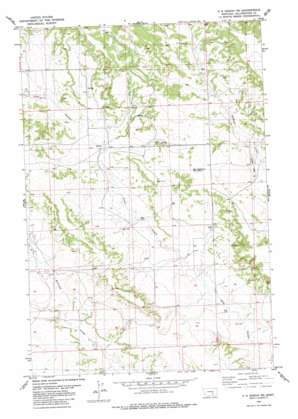
P K Ranch Ne Topo Map Montana
To zoom in, hover over the map of P K Ranch Ne
USGS Topo Quad 46108b1 - 1:24,000 scale
| Topo Map Name: | P K Ranch Ne |
| USGS Topo Quad ID: | 46108b1 |
| Print Size: | ca. 21 1/4" wide x 27" high |
| Southeast Coordinates: | 46.125° N latitude / 108° W longitude |
| Map Center Coordinates: | 46.1875° N latitude / 108.0625° W longitude |
| U.S. State: | MT |
| Filename: | o46108b1.jpg |
| Download Map JPG Image: | P K Ranch Ne topo map 1:24,000 scale |
| Map Type: | Topographic |
| Topo Series: | 7.5´ |
| Map Scale: | 1:24,000 |
| Source of Map Images: | United States Geological Survey (USGS) |
| Alternate Map Versions: |
P K Ranch NE MT 1980, updated 1980 Download PDF Buy paper map P K Ranch NE MT 2011 Download PDF Buy paper map P K Ranch NE MT 2014 Download PDF Buy paper map |
1:24,000 Topo Quads surrounding P K Ranch Ne
> Back to 46108a1 at 1:100,000 scale
> Back to 46108a1 at 1:250,000 scale
> Back to U.S. Topo Maps home
P K Ranch Ne topo map: Gazetteer
P K Ranch Ne: Summits
Lookout Point elevation 1105m 3625′P K Ranch Ne: Valleys
Cow Gulch elevation 956m 3136′P K Ranch Ne: Wells
05N29E04C___01 Well elevation 1063m 3487′05N29E09BCDC01 Well elevation 1047m 3435′
05N29E14ADDD01 Well elevation 1015m 3330′
05N29E15BDCC01 Well elevation 1017m 3336′
05N29E15DDDA01 Well elevation 997m 3270′
05N29E17CDAD01 Well elevation 1015m 3330′
05N29E20BDAD01 Well elevation 1005m 3297′
05N29E22AABA01 Well elevation 1004m 3293′
05N29E24DBCB01 Well elevation 985m 3231′
05N29E33ACAB01 Well elevation 989m 3244′
05N29E35BDCD01 Well elevation 1008m 3307′
05N30E08CBAD01 Well elevation 1025m 3362′
05N30E31BACC01 Well elevation 964m 3162′
05N30E31CCBC01 Well elevation 978m 3208′
06N30E31DACC01 Well elevation 1060m 3477′
P K Ranch Ne digital topo map on disk
Buy this P K Ranch Ne topo map showing relief, roads, GPS coordinates and other geographical features, as a high-resolution digital map file on DVD:


