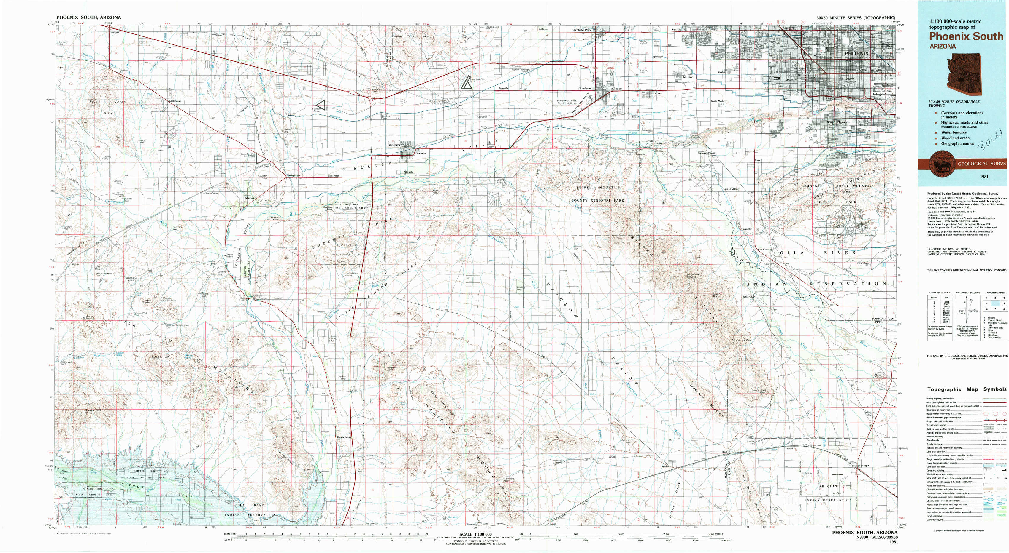
Phoenix South Topo Map Arizona
To zoom in, hover over the map of Phoenix South
USGS Topo Map 33112a1 - 1:100,000 scale
| Topo Map Name: | Phoenix South |
| USGS Topo Quad ID: | 33112a1 |
| Print Size: | ca. 39" wide x 24" high |
| Southeast Coordinates: | 33° N latitude / 112° W longitude |
| Map Center Coordinates: | 33.25° N latitude / 112.5° W longitude |
| U.S. State: | AZ |
| Filename: | 33112a1.jpg |
| Download Map JPG Image: | Phoenix South topo map 1:100,000 scale |
| Map Type: | Topographic |
| Topo Series: | 30´x60´ |
| Map Scale: | 1:100,000 |
| Source of Map Images: | United States Geological Survey (USGS) |
| Alternate Map Versions: |
Phoenix South AZ 1981, updated 1981 Download PDF Buy paper map Phoenix South AZ 1981, updated 1981 Download PDF Buy paper map |
1:100,000 Topos surrounding Phoenix South
Salome |
Phoenix North |
Theodore Roosevelt Lake |
Little Horn Mountains |
Phoenix South |
Mesa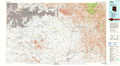 |
Dateland |
Gila Bend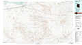 |
Casa Grande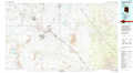 |
> Back to 33112a1 at 1:250,000 scale
> Back to U.S. Topo Maps home
1:24,000 Topo Quads covered by the spatial extent of this 100k map (Phoenix South)
|
Tonopah 
|
Wintersburg 
|
Buckeye Nw 
|
Valencia 
|
Perryville 
|
Tolleson 
|
Fowler 
|
Phoenix 
|
|
Gillespie 
|
Arlington 
|
Hassayampa 
|
Buckeye 
|
Avondale Sw 
|
Avondale Se 
|
Laveen 
|
Lone Butte 
|
|
Woolsey Peak 
|
Spring Mountain 
|
Cotton Center Nw 
|
Margies Peak 
|
Mobile Nw 
|
Mobile Ne 
|
Montezuma Peak 
|
Pima Butte 
|
|
Citrus Valley West 
|
Citrus Valley East 
|
Cotton Center 
|
Cotton Center Se 
|
Butterfield Pass 
|
Mobile 
|
Enid 
|
Maricopa 
|