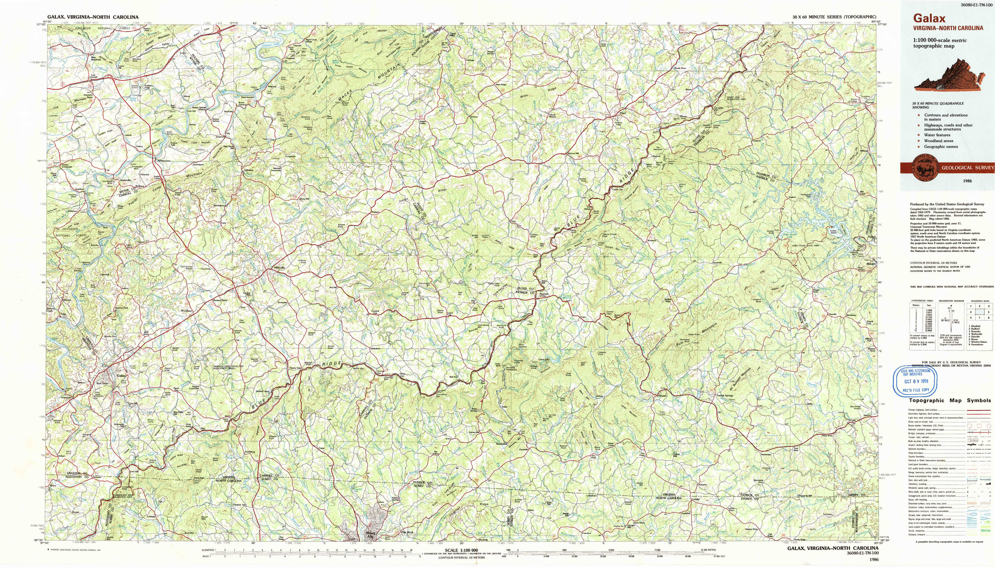
Galax Topo Map Virginia
To zoom in, hover over the map of Galax
USGS Topo Map 36080e1 - 1:100,000 scale
| Topo Map Name: | Galax |
| USGS Topo Quad ID: | 36080e1 |
| Print Size: | ca. 39" wide x 24" high |
| Southeast Coordinates: | 36.5° N latitude / 80° W longitude |
| Map Center Coordinates: | 36.75° N latitude / 80.5° W longitude |
| U.S. States: | VA, NC |
| Filename: | 36080e1.jpg |
| Download Map JPG Image: | Galax topo map 1:100,000 scale |
| Map Type: | Topographic |
| Topo Series: | 30´x60´ |
| Map Scale: | 1:100,000 |
| Source of Map Images: | United States Geological Survey (USGS) |
| Alternate Map Versions: |
Galax VA 1986, updated 1986 Download PDF Buy paper map Galax VA 1986, updated 1991 Download PDF Buy paper map |
1:100,000 Topos surrounding Galax
Bluefield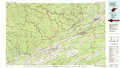 |
Radford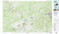 |
Roanoke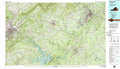 |
Wytheville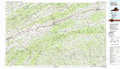 |
Galax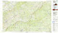 |
Danville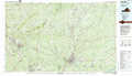 |
Boone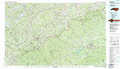 |
Winston-Salem |
Greensboro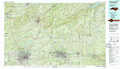 |
> Back to 36080a1 at 1:250,000 scale
> Back to U.S. Topo Maps home
1:24,000 Topo Quads covered by the spatial extent of this 100k map (Galax)
|
Max Meadows 
|
Fosters Falls 
|
Hiwassee 
|
Indian Valley 
|
Alum Ridge 
|
Floyd 
|
Endicott 
|
Ferrum 
|
|
Austinville 
|
Sylvatus 
|
Hillsville 
|
Dugspur 
|
Willis 
|
Woolwine 
|
Charity 
|
Philpott Reservoir 
|
|
Galax 
|
Woodlawn 
|
Fancy Gap 
|
Laurel Fork 
|
Meadows Of Dan 
|
Stuart 
|
Patrick Springs 
|
Sanville 
|
|
Cumberland Knob 
|
Lambsburg 
|
Cana 
|
Mount Airy North 
|
Claudville 
|
Stuart Se 
|
Nettleridge 
|
Spencer 
|