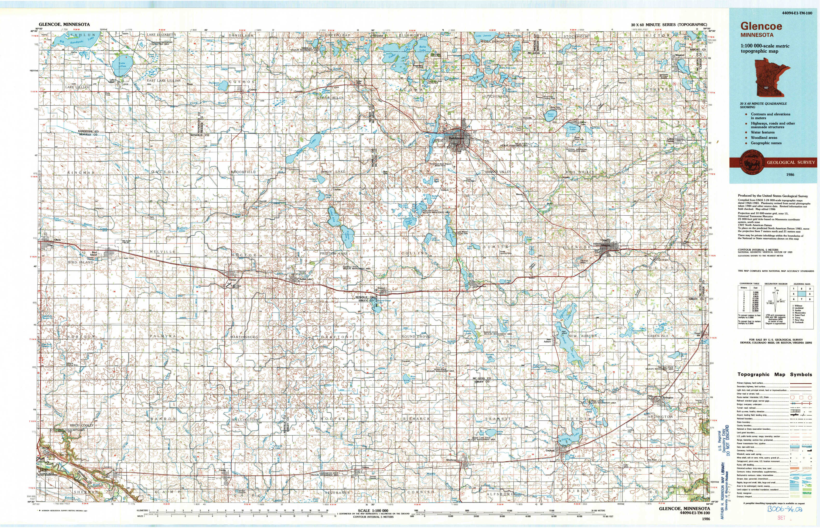
Glencoe Topo Map Minnesota
To zoom in, hover over the map of Glencoe
USGS Topo Map 44094e1 - 1:100,000 scale
| Topo Map Name: | Glencoe |
| USGS Topo Quad ID: | 44094e1 |
| Print Size: | ca. 39" wide x 24" high |
| Southeast Coordinates: | 44.5° N latitude / 94° W longitude |
| Map Center Coordinates: | 44.75° N latitude / 94.5° W longitude |
| U.S. State: | MN |
| Filename: | 44094e1.jpg |
| Download Map JPG Image: | Glencoe topo map 1:100,000 scale |
| Map Type: | Topographic |
| Topo Series: | 30´x60´ |
| Map Scale: | 1:100,000 |
| Source of Map Images: | United States Geological Survey (USGS) |
| Alternate Map Versions: |
Glencoe MN 1986, updated 1986 Download PDF Buy paper map Glencoe MN 1986, updated 1991 Download PDF Buy paper map |
1:100,000 Topos surrounding Glencoe
Willmar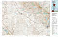 |
Litchfield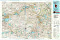 |
Anoka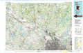 |
Montevideo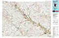 |
Glencoe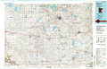 |
Saint Paul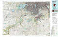 |
Tracy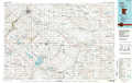 |
New Ulm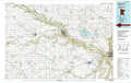 |
Faribault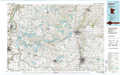 |
> Back to 44094a1 at 1:250,000 scale
> Back to U.S. Topo Maps home
1:24,000 Topo Quads covered by the spatial extent of this 100k map (Glencoe)
|
Lake Lillian 
|
Thorpe 
|
Cosmos 
|
Cedar Mills 
|
Hutchinson West 
|
Hutchinson East 
|
Silver Lake 
|
Winsted 
|
|
Olivia 
|
Olivia Se 
|
Churchill 
|
Lake Allie 
|
Heatwole 
|
Biscay 
|
Glenco 
|
Plato 
|
|
Morton Nw 
|
Morton Ne 
|
Hector 
|
Buffalo Lake 
|
Stewart 
|
Brownton 
|
New Auburn 
|
Green Isle 
|
|
Morton 
|
Morton Se 
|
Fairfax 
|
Gibbon 
|
Winthrop Sw 
|
Winthrop 
|
Gaylord 
|
Arlington 
|