Mariscal Mountain Topo Map Texas
To zoom in, hover over the map of Mariscal Mountain
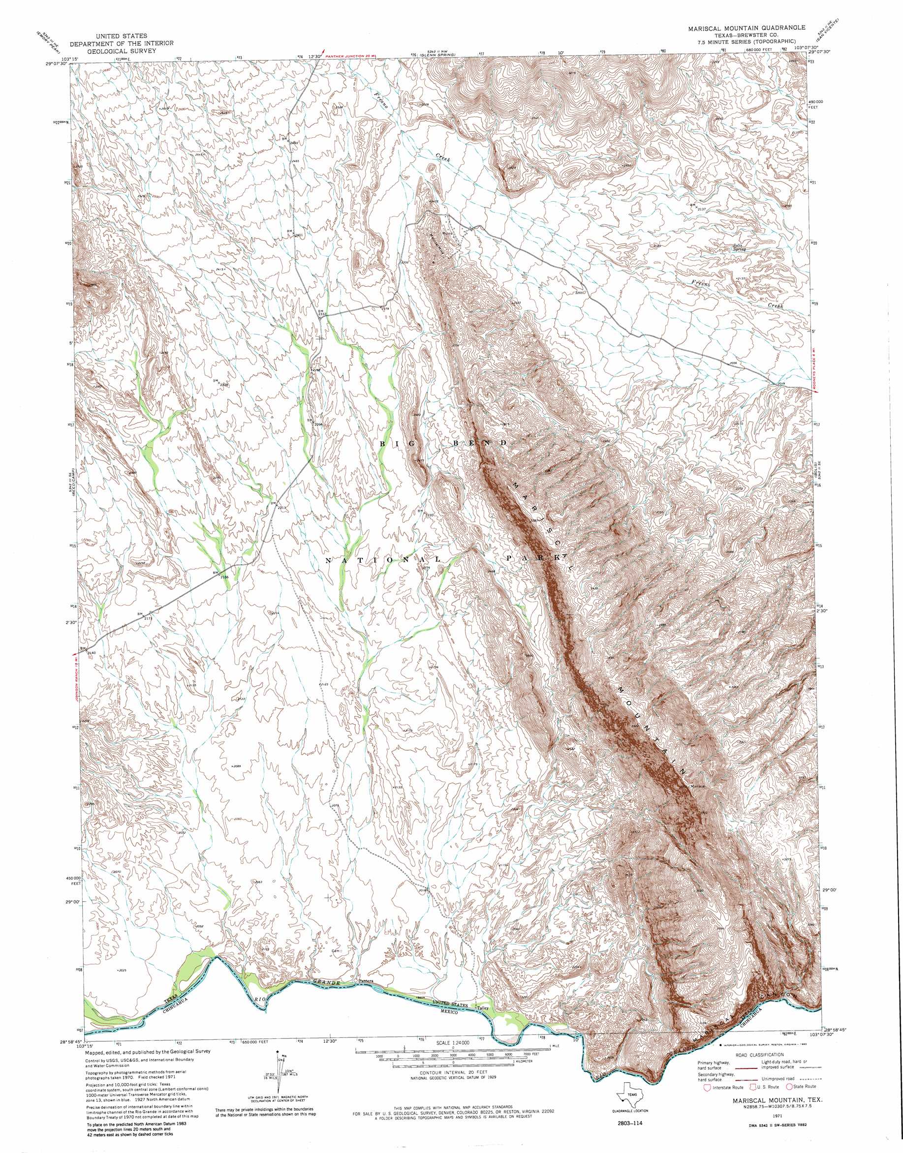
USGS Topo Quad 29103a2 - 1:24,000 scale
| Topo Map Name: | Mariscal Mountain |
| USGS Topo Quad ID: | 29103a2 |
| Print Size: | ca. 21 1/4" wide x 27" high |
| Southeast Coordinates: | 29° N latitude / 103.125° W longitude |
| Map Center Coordinates: | 29.0625° N latitude / 103.1875° W longitude |
| U.S. State: | TX |
| Filename: | o29103a2.jpg |
| Download Map JPG Image: | Mariscal Mountain topo map 1:24,000 scale |
| Map Type: | Topographic |
| Topo Series: | 7.5´ |
| Map Scale: | 1:24,000 |
| Source of Map Images: | United States Geological Survey (USGS) |
| Alternate Map Versions: |
Mariscal Mountain TX 2011 Download PDF Buy paper map Mariscal Mountain TX 2012 Download PDF Buy paper map Mariscal Mountain TX 2016 Download PDF Buy paper map |
1:24,000 Topo Quads surrounding Mariscal Mountain
Tule Mountain |
The Basin |
Panther Junction |
Roys Peak |
Ernst Valley |
Cerro Castellan |
Emory Peak |
Glenn Spring |
San Vincente |
Boquillas |
Smoky Creek |
Reed Camp |
Mariscal Mountain |
Solis |
|
> Back to 29103a1 at 1:100,000 scale
> Back to 29102a1 at 1:250,000 scale
> Back to U.S. Topo Maps home
Mariscal Mountain topo map: Gazetteer
Mariscal Mountain: Mines
Mariscal Mine elevation 733m 2404′Mariscal Mine elevation 758m 2486′
Mariscal Mountain: Springs
Solis Spring elevation 632m 2073′Mariscal Mountain: Trails
Cross Canyon Trail elevation 981m 3218′Mariscal Mountain digital topo map on disk
Buy this Mariscal Mountain topo map showing relief, roads, GPS coordinates and other geographical features, as a high-resolution digital map file on DVD: