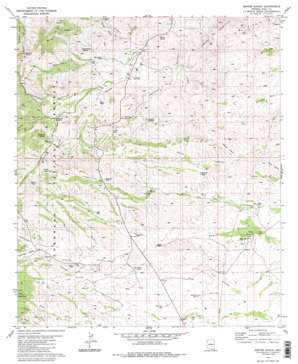
Empire Ranch Topo Map Arizona
To zoom in, hover over the map of Empire Ranch
USGS Topo Quad 31110g6 - 1:24,000 scale
| Topo Map Name: | Empire Ranch |
| USGS Topo Quad ID: | 31110g6 |
| Print Size: | ca. 21 1/4" wide x 27" high |
| Southeast Coordinates: | 31.75° N latitude / 110.625° W longitude |
| Map Center Coordinates: | 31.8125° N latitude / 110.6875° W longitude |
| U.S. State: | AZ |
| Filename: | o31110g6.jpg |
| Download Map JPG Image: | Empire Ranch topo map 1:24,000 scale |
| Map Type: | Topographic |
| Topo Series: | 7.5´ |
| Map Scale: | 1:24,000 |
| Source of Map Images: | United States Geological Survey (USGS) |
| Alternate Map Versions: |
Empire Ranch AZ 1981, updated 1981 Download PDF Buy paper map Empire Ranch AZ 1981, updated 1986 Download PDF Buy paper map Empire Ranch AZ 1981, updated 1986 Download PDF Buy paper map Empire Ranch AZ 1996, updated 2002 Download PDF Buy paper map Empire Ranch AZ 2012 Download PDF Buy paper map Empire Ranch AZ 2014 Download PDF Buy paper map |
| FStopo: | US Forest Service topo Empire Ranch is available: Download FStopo PDF Download FStopo TIF |
1:24,000 Topo Quads surrounding Empire Ranch
> Back to 31110e1 at 1:100,000 scale
> Back to 31110a1 at 1:250,000 scale
> Back to U.S. Topo Maps home
Empire Ranch topo map: Gazetteer
Empire Ranch: Airports
Empire Ranch Airport elevation 1392m 4566′Empire Ranch: Dams
East Dam elevation 1402m 4599′Empire Ranch: Mines
Helena Mine elevation 1392m 4566′Empire Ranch: Populated Places
Rosemont Camp elevation 1486m 4875′Rosemont Junction elevation 1463m 4799′
Empire Ranch: Reservoirs
Adobe Tank elevation 1449m 4753′Andrada Tank elevation 1464m 4803′
Barrel Tank elevation 1571m 5154′
Highway Tank elevation 1555m 5101′
Los Posos Tank elevation 1510m 4954′
North Basin Tank elevation 1547m 5075′
Oakdale Tank elevation 1556m 5104′
Empire Ranch: Springs
Barrel Spring elevation 1318m 4324′Fig Tree Spring elevation 1576m 5170′
Questa Spring elevation 1403m 4603′
Rosemont Springs elevation 1504m 4934′
Scholefield Spring elevation 1425m 4675′
Empire Ranch: Valleys
Barrel Canyon elevation 1294m 4245′California Gulch elevation 1556m 5104′
Colorado Gulch elevation 1520m 4986′
East Fork Davidson Canyon elevation 1317m 4320′
Enzenberg Canyon elevation 1556m 5104′
Highway Canyon elevation 1415m 4642′
McCleary Canyon elevation 1415m 4642′
Papago Canyon elevation 1348m 4422′
Scholefield Canyon elevation 1354m 4442′
Sucker Gulch elevation 1563m 5127′
Trail Canyon elevation 1509m 4950′
Wasp Canyon elevation 1460m 4790′
Empire Ranch: Wells
Airport Well elevation 1402m 4599′Empire Well elevation 1468m 4816′
Maternity Well elevation 1469m 4819′
Oak Tree Windmill elevation 1495m 4904′
West Well elevation 1486m 4875′
Empire Ranch digital topo map on disk
Buy this Empire Ranch topo map showing relief, roads, GPS coordinates and other geographical features, as a high-resolution digital map file on DVD:


