Gold Hill Topo Map Virginia
To zoom in, hover over the map of Gold Hill
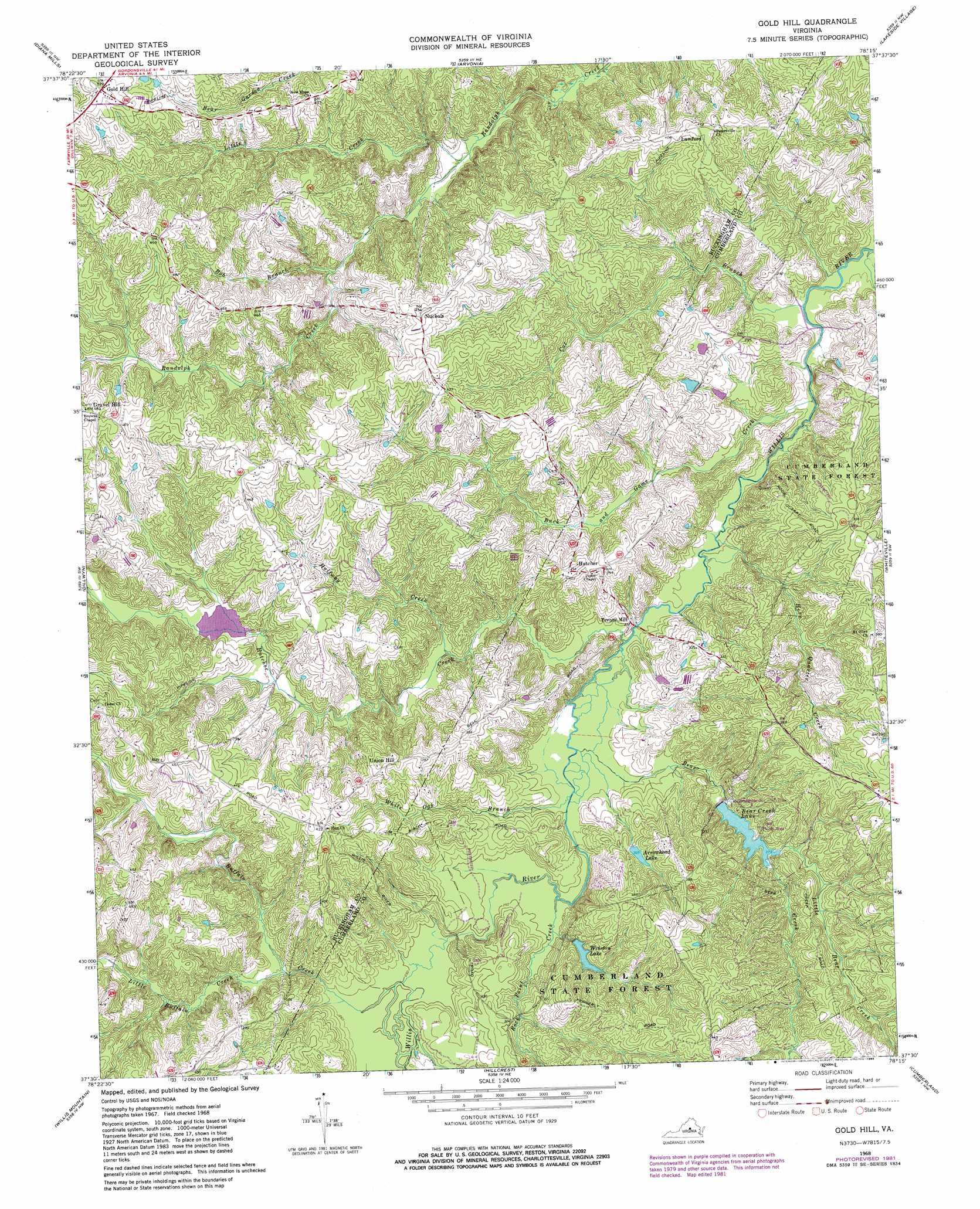
USGS Topo Quad 37078e3 - 1:24,000 scale
| Topo Map Name: | Gold Hill |
| USGS Topo Quad ID: | 37078e3 |
| Print Size: | ca. 21 1/4" wide x 27" high |
| Southeast Coordinates: | 37.5° N latitude / 78.25° W longitude |
| Map Center Coordinates: | 37.5625° N latitude / 78.3125° W longitude |
| U.S. State: | VA |
| Filename: | o37078e3.jpg |
| Download Map JPG Image: | Gold Hill topo map 1:24,000 scale |
| Map Type: | Topographic |
| Topo Series: | 7.5´ |
| Map Scale: | 1:24,000 |
| Source of Map Images: | United States Geological Survey (USGS) |
| Alternate Map Versions: |
Gold Hill VA 1968, updated 1971 Download PDF Buy paper map Gold Hill VA 1968, updated 1975 Download PDF Buy paper map Gold Hill VA 1968, updated 1982 Download PDF Buy paper map Gold Hill VA 1968, updated 1985 Download PDF Buy paper map Gold Hill VA 2010 Download PDF Buy paper map Gold Hill VA 2013 Download PDF Buy paper map Gold Hill VA 2016 Download PDF Buy paper map |
1:24,000 Topo Quads surrounding Gold Hill
Esmont |
Scottsville |
Palmyra |
Columbia |
Caledonia |
Glenmore |
Diana Mills |
Arvonia |
Lakeside Village |
Cartersville |
Buckingham |
Dillwyn |
Gold Hill |
Whiteville |
Trenholm |
Andersonville |
Willis Mountain |
Hillcrest |
Cumberland |
Ballsville |
Prospect |
Farmville |
Rice |
Deatonville |
Jetersville |
> Back to 37078e1 at 1:100,000 scale
> Back to 37078a1 at 1:250,000 scale
> Back to U.S. Topo Maps home
Gold Hill topo map: Gazetteer
Gold Hill: Dams
Arrowhead Lake Dam elevation 93m 305′Bear Creek Dam elevation 91m 298′
Benelli Dam elevation 91m 298′
Oak Hill Lake Dam elevation 126m 413′
Willis River Number Seven Dam elevation 99m 324′
Winston Lake Dam elevation 90m 295′
Gold Hill: Forests
Cumberland State Forest elevation 112m 367′Gold Hill: Parks
Bear Creek Lake State Park elevation 85m 278′Bear Creek State Park elevation 89m 291′
Buckingham Female Collegiate Institute Historic District elevation 146m 479′
Gold Hill: Populated Places
Gold Hill elevation 159m 521′Gravel Hill elevation 147m 482′
Hatcher elevation 111m 364′
Lawford elevation 126m 413′
Nuckols elevation 137m 449′
Trents Mill elevation 77m 252′
Union Hill elevation 124m 406′
Gold Hill: Reservoirs
Arrowhead Lake elevation 93m 305′Bear Creek Lake elevation 85m 278′
Oak Hill Lake elevation 126m 413′
Winston Lake elevation 90m 295′
Gold Hill: Streams
Bear Creek elevation 71m 232′Bob Branch elevation 96m 314′
Bonbrook Creek elevation 67m 219′
Buck and Game Creek elevation 67m 219′
Buffalo Creek elevation 76m 249′
Cat Branch elevation 67m 219′
Halfway Creek elevation 79m 259′
Hatcher Creek elevation 69m 226′
Horn Quater Creek elevation 68m 223′
Little Bear Creek elevation 85m 278′
Little Buffalo Creek elevation 79m 259′
Little Creek elevation 85m 278′
Rock Point Creek elevation 73m 239′
White Oak Branch elevation 72m 236′
Gold Hill digital topo map on disk
Buy this Gold Hill topo map showing relief, roads, GPS coordinates and other geographical features, as a high-resolution digital map file on DVD:
Western Virginia & Southern West Virginia
Buy digital topo maps: Western Virginia & Southern West Virginia