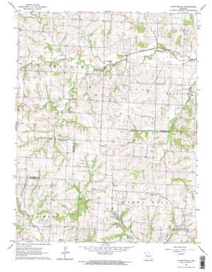
Fayetteville Topo Map Missouri
To zoom in, hover over the map of Fayetteville
USGS Topo Quad 38093h7 - 1:24,000 scale
| Topo Map Name: | Fayetteville |
| USGS Topo Quad ID: | 38093h7 |
| Print Size: | ca. 21 1/4" wide x 27" high |
| Southeast Coordinates: | 38.875° N latitude / 93.75° W longitude |
| Map Center Coordinates: | 38.9375° N latitude / 93.8125° W longitude |
| U.S. State: | MO |
| Filename: | o38093h7.jpg |
| Download Map JPG Image: | Fayetteville topo map 1:24,000 scale |
| Map Type: | Topographic |
| Topo Series: | 7.5´ |
| Map Scale: | 1:24,000 |
| Source of Map Images: | United States Geological Survey (USGS) |
| Alternate Map Versions: |
Fayetteville MO 1963, updated 1964 Download PDF Buy paper map Fayetteville MO 1963, updated 1964 Download PDF Buy paper map Fayetteville MO 2011 Download PDF Buy paper map Fayetteville MO 2014 Download PDF Buy paper map |
1:24,000 Topo Quads surrounding Fayetteville
> Back to 38093e1 at 1:100,000 scale
> Back to 38092a1 at 1:250,000 scale
> Back to U.S. Topo Maps home
Fayetteville topo map: Gazetteer
Fayetteville: Dams
Day Lake Dam elevation 236m 774′Downing Lake Dam elevation 252m 826′
Newland East Lake Dam elevation 253m 830′
Newland Lake Section 20 Dam elevation 250m 820′
Newland West Lake Dam elevation 255m 836′
Rauch Dam elevation 242m 793′
Reich Lake Dam elevation 239m 784′
Wooden Lake Section 16 Dam elevation 239m 784′
Zander Lake Dam elevation 256m 839′
Fayetteville: Populated Places
Fayetteville elevation 260m 853′Hoffman elevation 262m 859′
Oakland (historical) elevation 248m 813′
Robbins elevation 268m 879′
Fayetteville: Post Offices
Hoffman Post Office (historical) elevation 262m 859′Tabo Post Office elevation 239m 784′
Fayetteville: Reservoirs
I-70 and 13 Channel Catfish Farm Lake elevation 242m 793′Newland Lake elevation 253m 830′
William Riech Lake elevation 239m 784′
Fayetteville: Streams
South Davis Creek elevation 231m 757′Fayetteville digital topo map on disk
Buy this Fayetteville topo map showing relief, roads, GPS coordinates and other geographical features, as a high-resolution digital map file on DVD:


