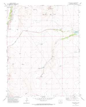
Chicos Well Topo Map Colorado
To zoom in, hover over the map of Chicos Well
USGS Topo Quad 38104a3 - 1:24,000 scale
| Topo Map Name: | Chicos Well |
| USGS Topo Quad ID: | 38104a3 |
| Print Size: | ca. 21 1/4" wide x 27" high |
| Southeast Coordinates: | 38° N latitude / 104.25° W longitude |
| Map Center Coordinates: | 38.0625° N latitude / 104.3125° W longitude |
| U.S. State: | CO |
| Filename: | o38104a3.jpg |
| Download Map JPG Image: | Chicos Well topo map 1:24,000 scale |
| Map Type: | Topographic |
| Topo Series: | 7.5´ |
| Map Scale: | 1:24,000 |
| Source of Map Images: | United States Geological Survey (USGS) |
| Alternate Map Versions: |
Chicos Well CO 1970, updated 1973 Download PDF Buy paper map Chicos Well CO 2010 Download PDF Buy paper map Chicos Well CO 2013 Download PDF Buy paper map Chicos Well CO 2016 Download PDF Buy paper map |
1:24,000 Topo Quads surrounding Chicos Well
> Back to 38104a1 at 1:100,000 scale
> Back to 38104a1 at 1:250,000 scale
> Back to U.S. Topo Maps home
Chicos Well topo map: Gazetteer
Chicos Well: Canals
Nepesta Farmers Ditch elevation 1443m 4734′Chicos Well: Dams
Chicosa Number 5 Dam elevation 1399m 4589′Chicos Well: Reservoirs
Alderd Tank elevation 1412m 4632′Chicosa Reservoir Number 5 elevation 1399m 4589′
Double Tank elevation 1446m 4744′
East Chicos Reservoir elevation 1455m 4773′
East Cox Reservoir elevation 1504m 4934′
Goodwin Reservoir elevation 1463m 4799′
Lower Chicosa Reservoir elevation 1434m 4704′
McFarland Reservoir Number 1 elevation 1433m 4701′
McFarland Reservoir Number 2 elevation 1437m 4714′
Upper Chicosa Reservoir elevation 1470m 4822′
West Chicos Reservoir elevation 1479m 4852′
Chicos Well: Streams
Fourmile Creek elevation 1415m 4642′Chicos Well: Valleys
Long Draw elevation 1499m 4917′Chicos Well: Wells
Alderd Well elevation 1447m 4747′Fountain Well elevation 1445m 4740′
Chicos Well digital topo map on disk
Buy this Chicos Well topo map showing relief, roads, GPS coordinates and other geographical features, as a high-resolution digital map file on DVD:


