Buck Brush Spring Topo Map Nevada
To zoom in, hover over the map of Buck Brush Spring
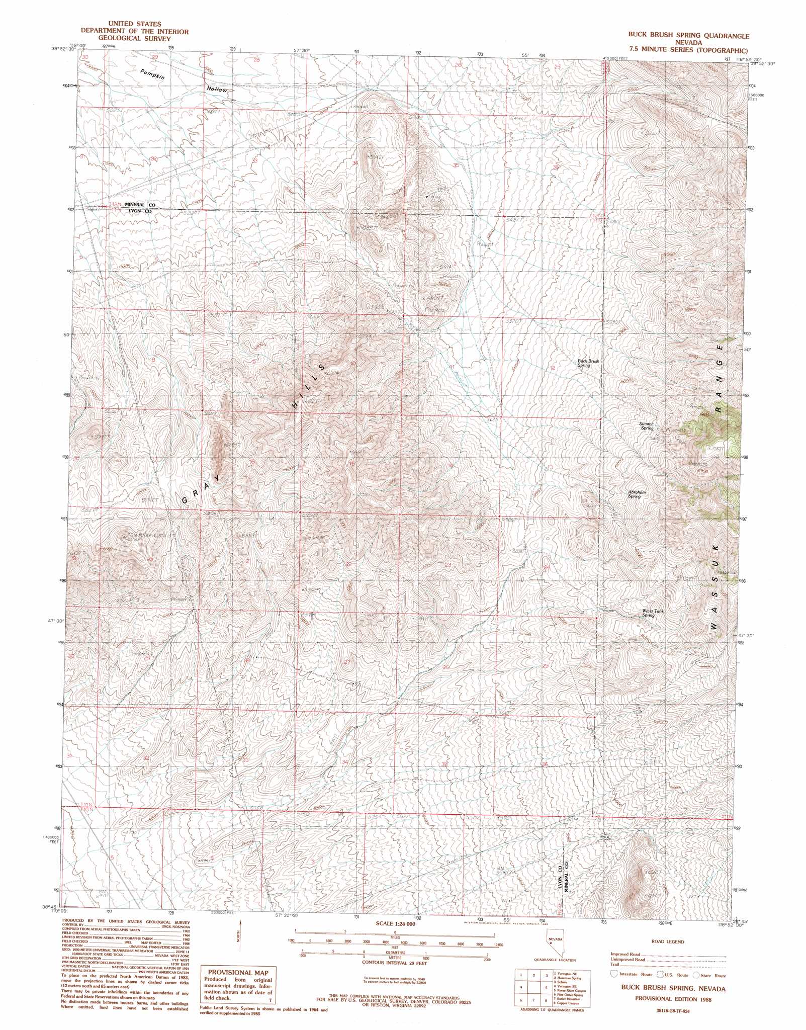
USGS Topo Quad 38118g8 - 1:24,000 scale
| Topo Map Name: | Buck Brush Spring |
| USGS Topo Quad ID: | 38118g8 |
| Print Size: | ca. 21 1/4" wide x 27" high |
| Southeast Coordinates: | 38.75° N latitude / 118.875° W longitude |
| Map Center Coordinates: | 38.8125° N latitude / 118.9375° W longitude |
| U.S. State: | NV |
| Filename: | o38118g8.jpg |
| Download Map JPG Image: | Buck Brush Spring topo map 1:24,000 scale |
| Map Type: | Topographic |
| Topo Series: | 7.5´ |
| Map Scale: | 1:24,000 |
| Source of Map Images: | United States Geological Survey (USGS) |
| Alternate Map Versions: |
Buck Brush Spring NV 1988, updated 1988 Download PDF Buy paper map Buckbrush Spring NV 2011 Download PDF Buy paper map Buckbrush Spring NV 2014 Download PDF Buy paper map |
1:24,000 Topo Quads surrounding Buck Brush Spring
Mason Butte |
Hinkson Slough |
Weber Reservoir |
Weber Dam |
Terrill Mountains |
Yerington |
Yerington Ne |
Hussman Spring |
Schurz |
Gillis Canyon Nw |
Wilson Canyon |
Yerington Se |
Buck Brush Spring |
Reese River Canyon |
Gillis Canyon |
Mount Etna |
Pine Grove Spring |
Butler Mountain |
Copper Canyon |
Walker Lake |
Nye Canyon |
Wichman Canyon |
Mitchell Spring |
Mount Grant |
Hawthorne West |
> Back to 38118e1 at 1:100,000 scale
> Back to 38118a1 at 1:250,000 scale
> Back to U.S. Topo Maps home
Buck Brush Spring topo map: Gazetteer
Buck Brush Spring: Populated Places
Copper Run elevation 1978m 6489′Buck Brush Spring: Ranges
Gray Hills elevation 2026m 6646′Buck Brush Spring: Reservoirs
Buck Brush Storage Tank elevation 1733m 5685′Buck Brush Spring: Springs
Abraham Spring elevation 1873m 6145′Buck Brush Spring elevation 1757m 5764′
Summit Spring elevation 1892m 6207′
Water Tank Spring elevation 1888m 6194′
Buck Brush Spring digital topo map on disk
Buy this Buck Brush Spring topo map showing relief, roads, GPS coordinates and other geographical features, as a high-resolution digital map file on DVD: